<!– /* Font Definitions */ @font-face {font-family:"Times New Roman"; panose-1:0 2 2 6 3 5 4 5 2 3; mso-font-charset:0; mso-generic-font-family:auto; mso-font-pitch:variable; mso-font-signature:50331648 0 0 0 1 0;} @font-face {font-family:Cambria; panose-1:0 2 4 5 3 5 4 6 3 2; mso-font-charset:0; mso-generic-font-family:auto; mso-font-pitch:variable; mso-font-signature:50331648 0 0 0 1 0;} /* Style Definitions */ p.MsoNormal, li.MsoNormal, div.MsoNormal {mso-style-parent:""; margin:0in; margin-bottom:.0001pt; mso-pagination:widow-orphan; font-size:12.0pt; font-family:Cambria;} table.MsoNormalTable {mso-style-parent:""; font-size:10.0pt; font-family:"Times New Roman";} @page Section1 {size:8.5in 11.0in; margin:1.0in 1.25in 1.0in 1.25in; mso-header-margin:.5in; mso-footer-margin:.5in; mso-paper-source:0;} div.Section1 {page:Section1;} LORD HOWE ISLAND: Paradise on Earth
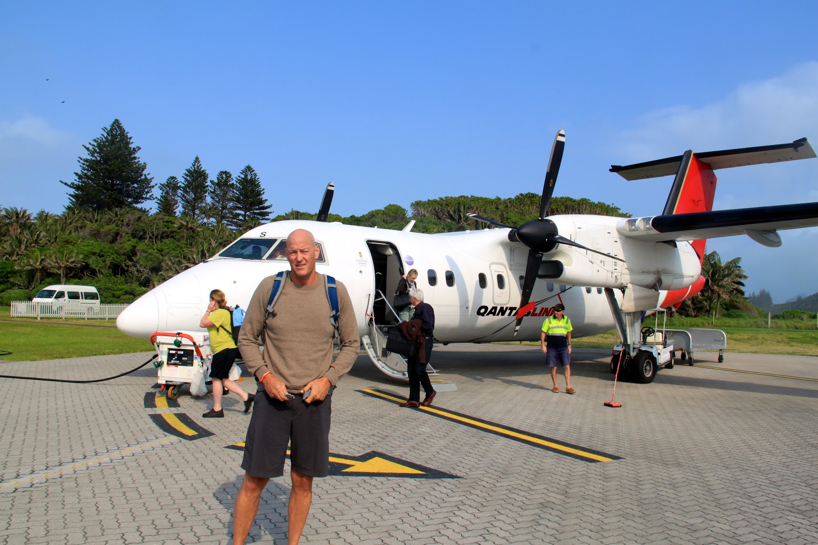
At 7 am Sunday morning we flew 500 miles northeast from Sydney into the Tasman Sea. Our destination is Lord Howe Island. We had never heard of Lord Howe Island but learned about it by following a link from The Southern Ocean Lodge where we will stay on Kangaroo Island in early November. Lord Howe is on the World Heritage list.
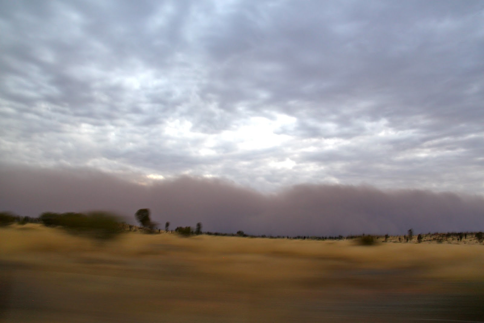
About 20 minutes before we were to land the pilot announced that Lord Howe Island was socked in with clouds and that there was a strong chance that we would not be able to land.
He told us that they would make an attempt, and that if they could not see to land then they would go around once and try again, and if they could not land on the second attempt that they would return to Sydney.
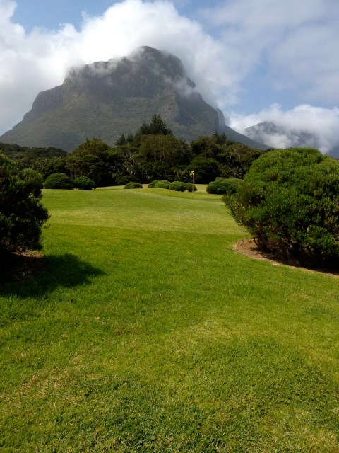
I guess it is a treacherous approach strung between jagged peaks of the island.
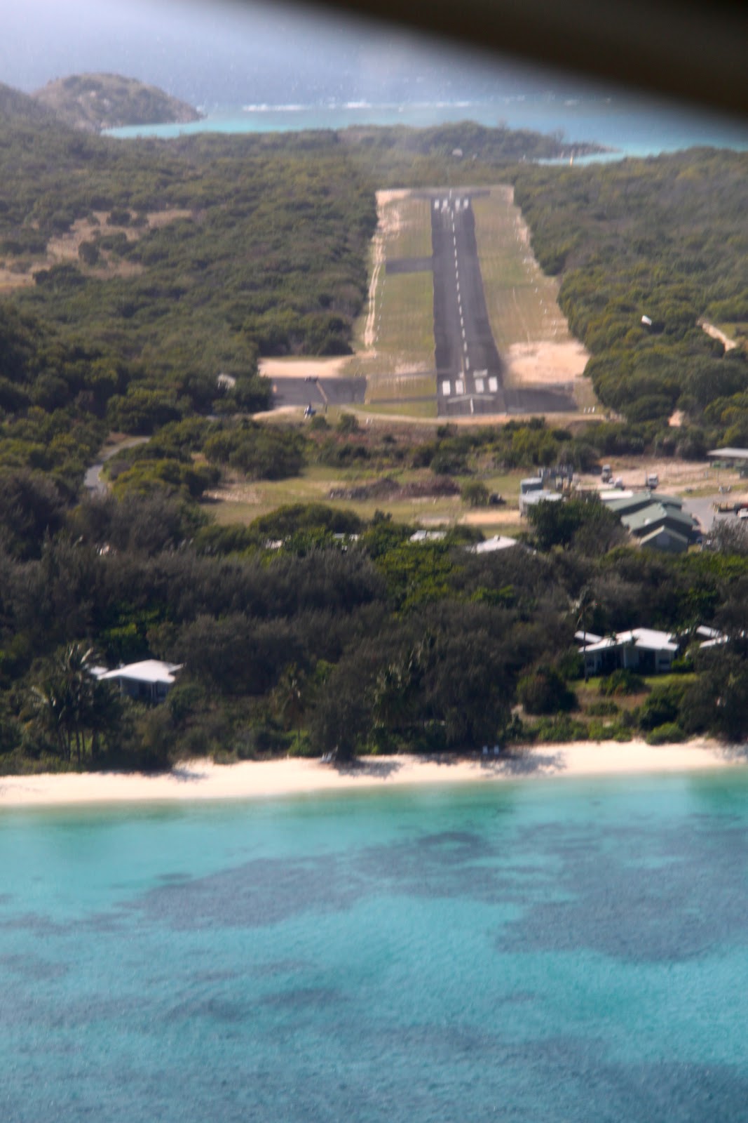
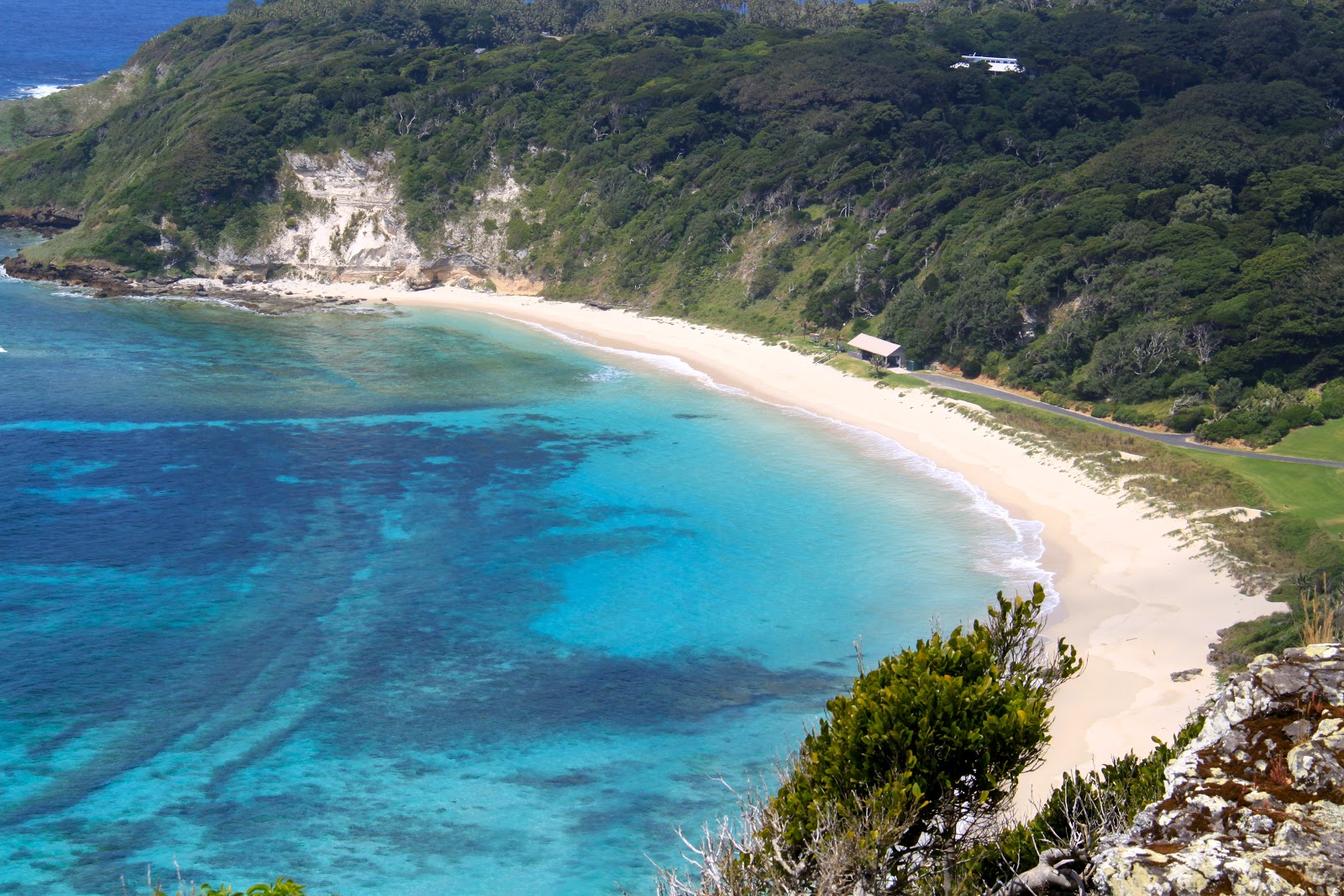
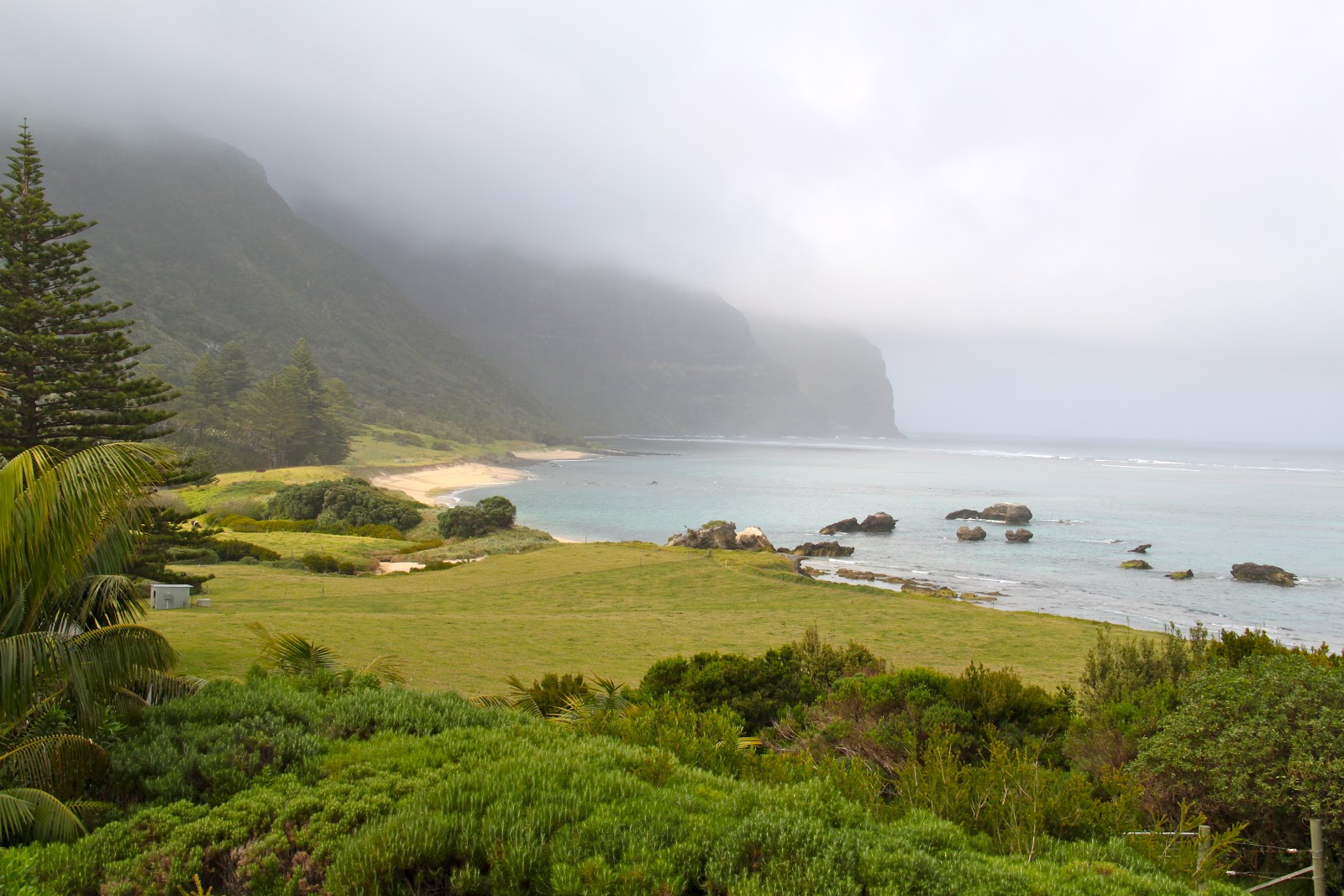
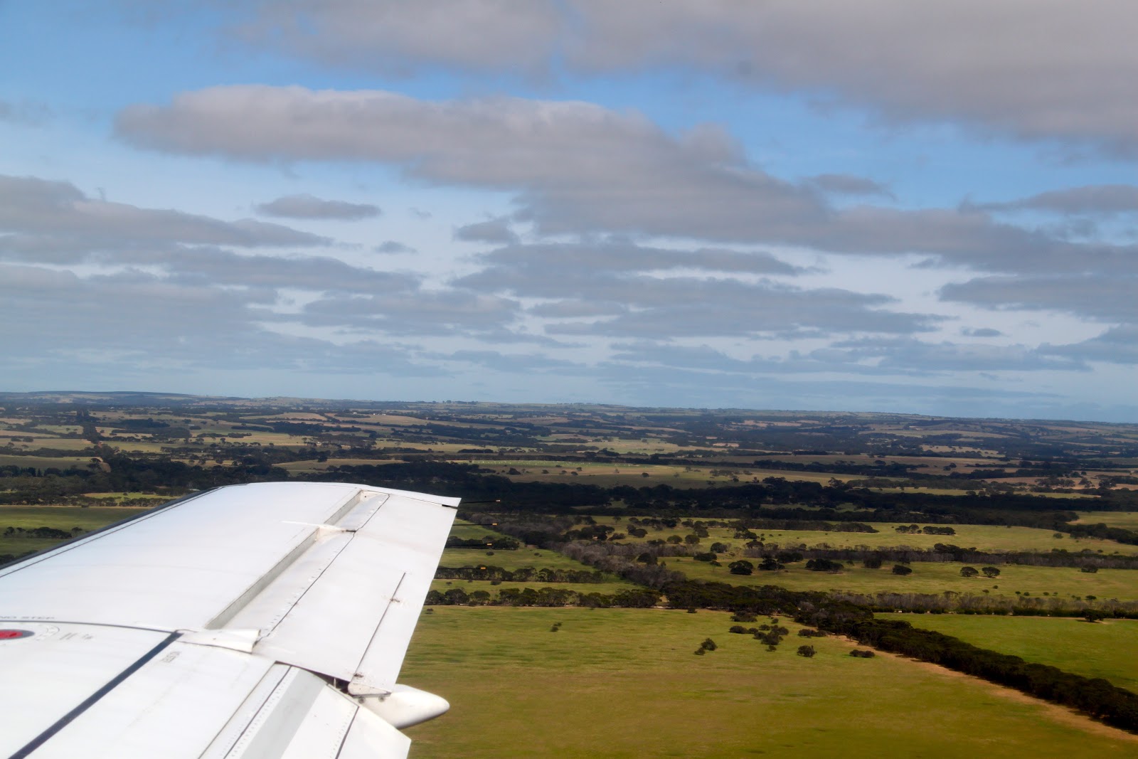
The island is only 11 kilometers long and 3 kilometers wide with mountains on both ends. The runway is 1 kilometer long.
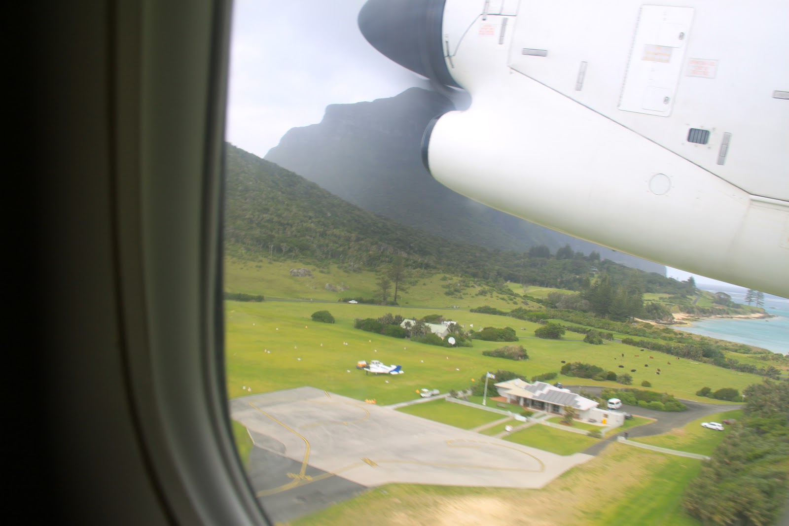
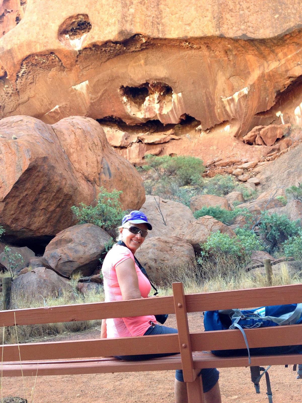
 |
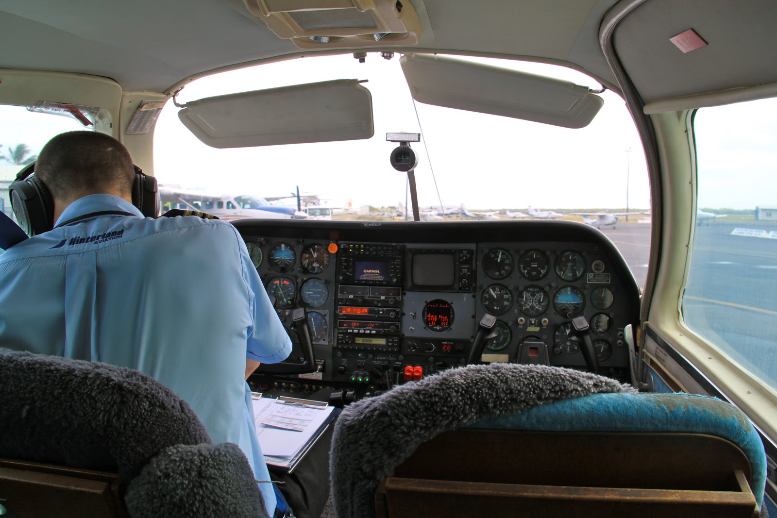
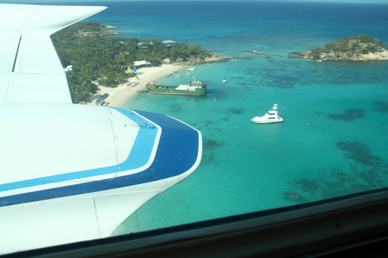
| From the plane. The airport is below |
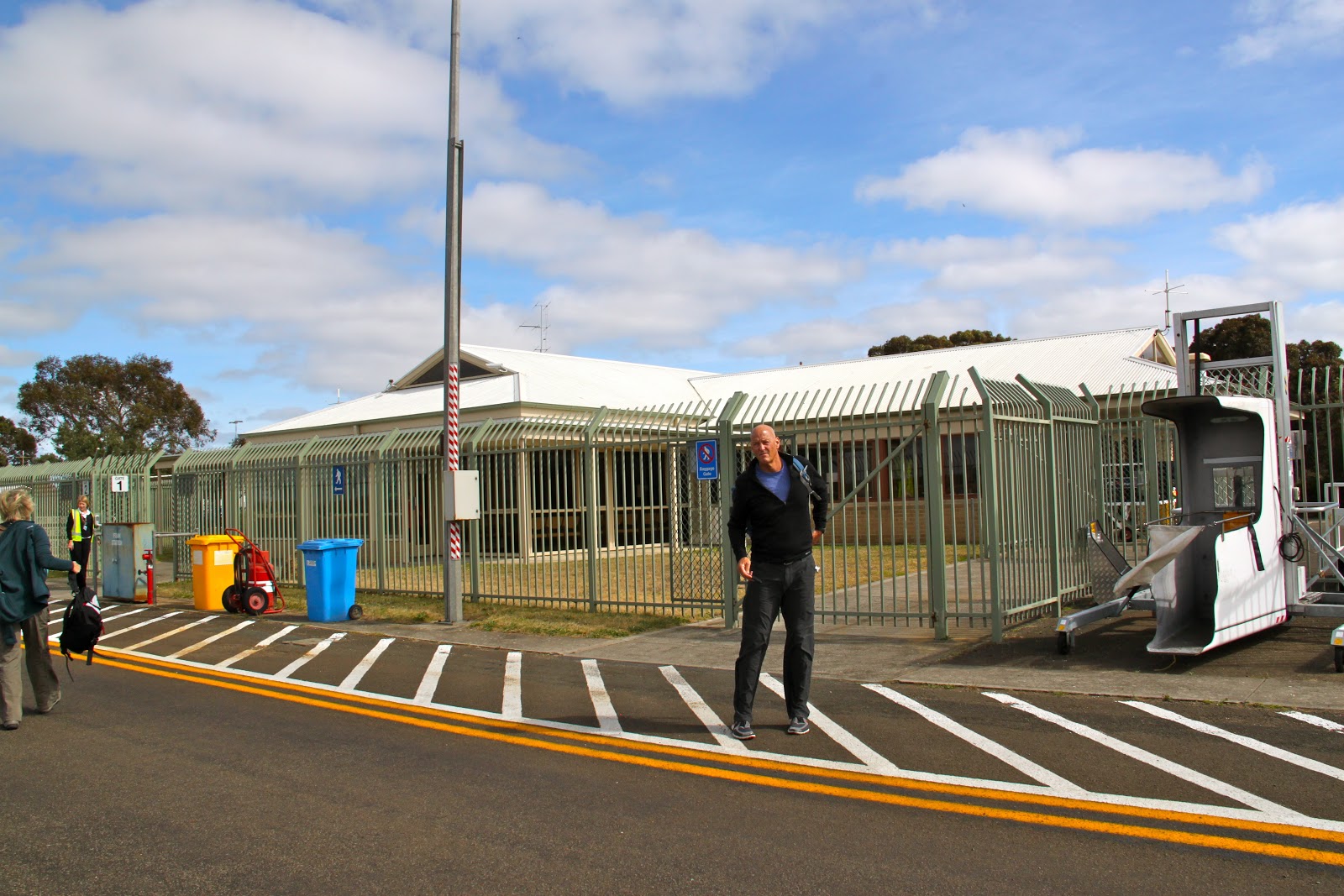
 |
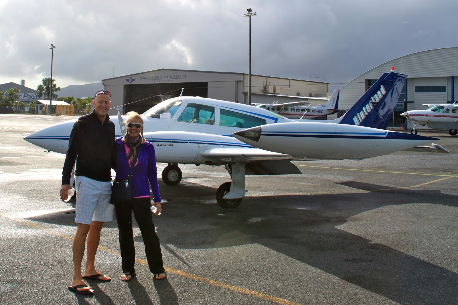
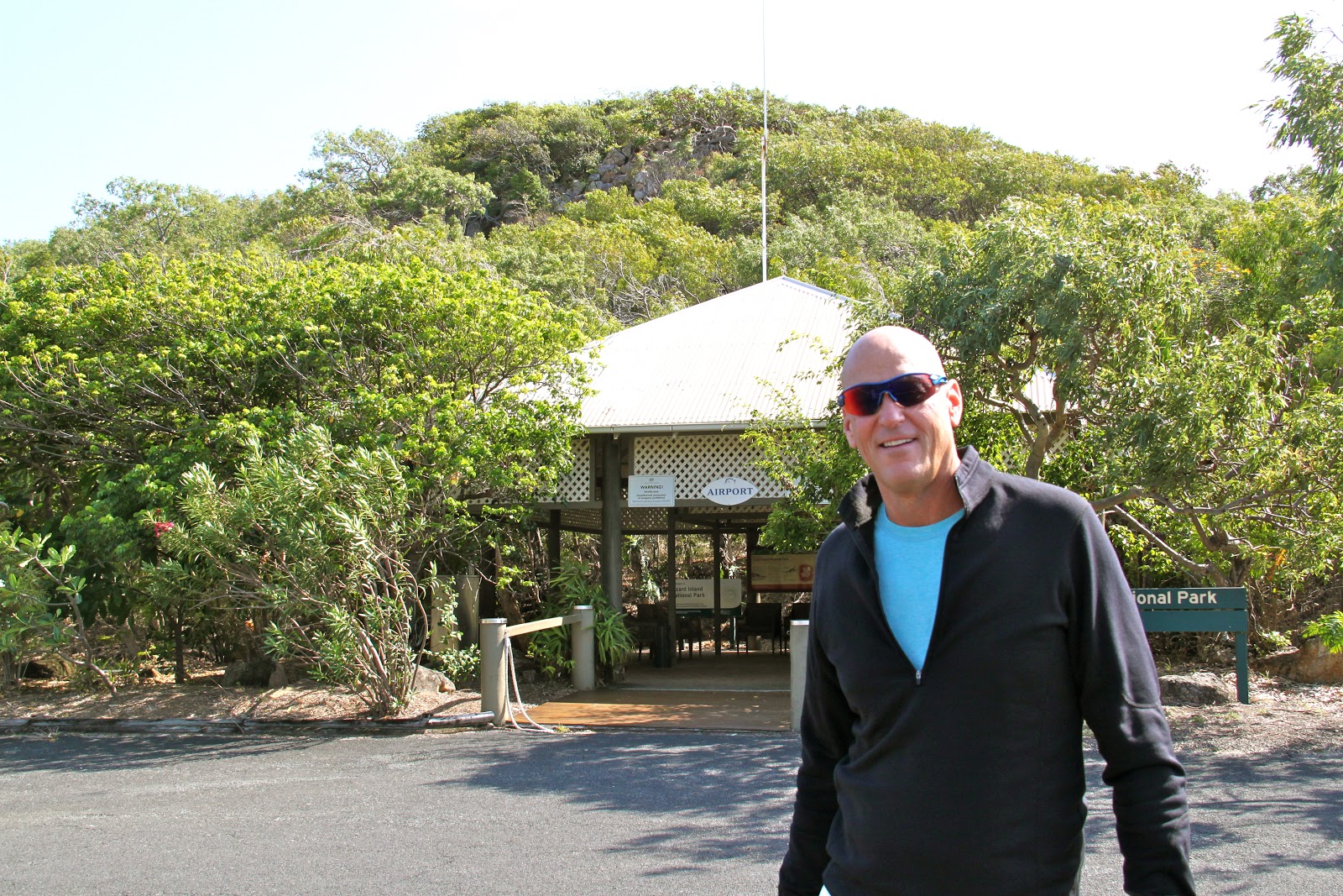
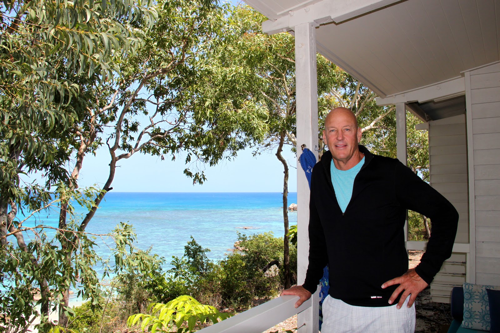
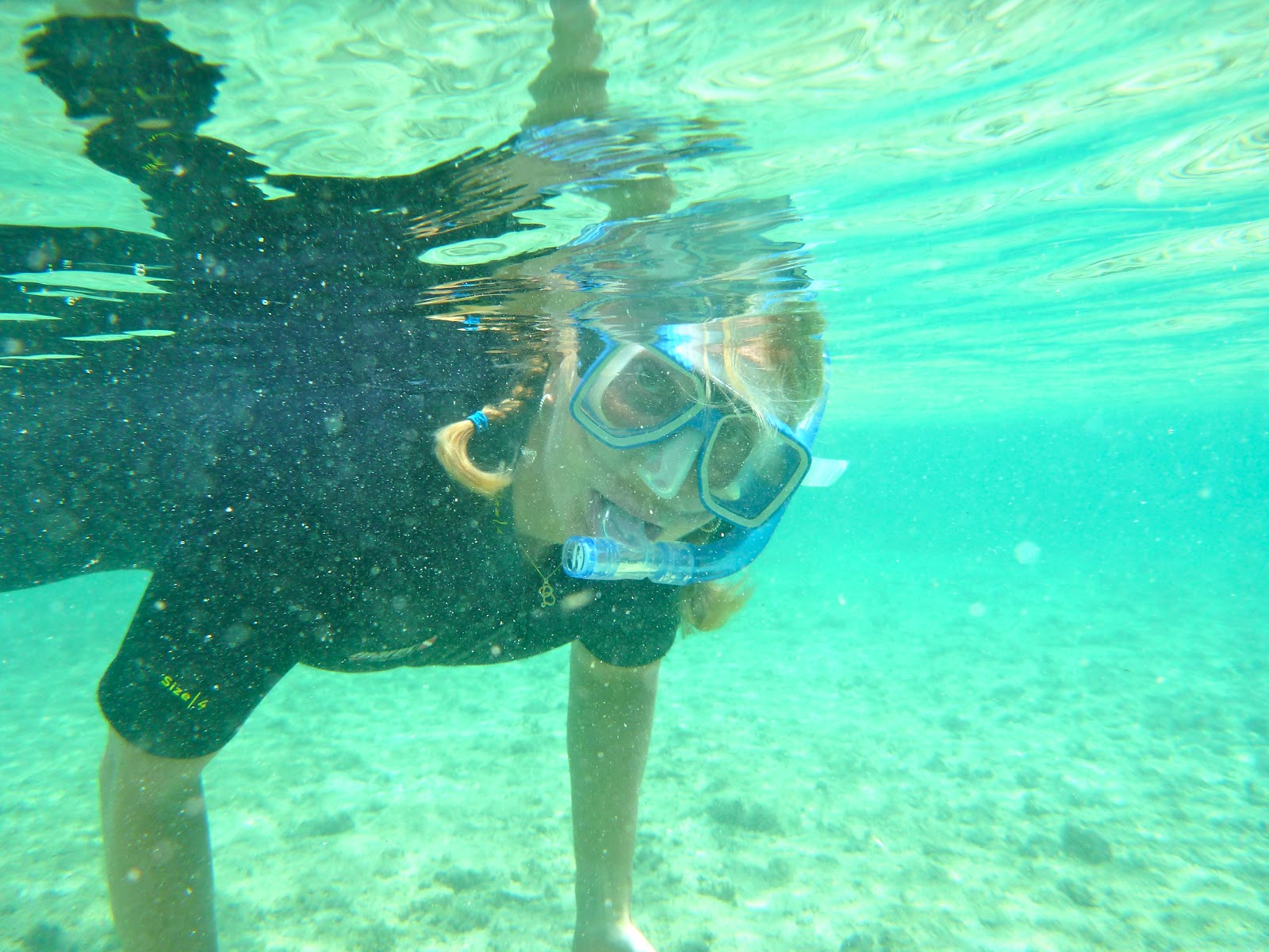
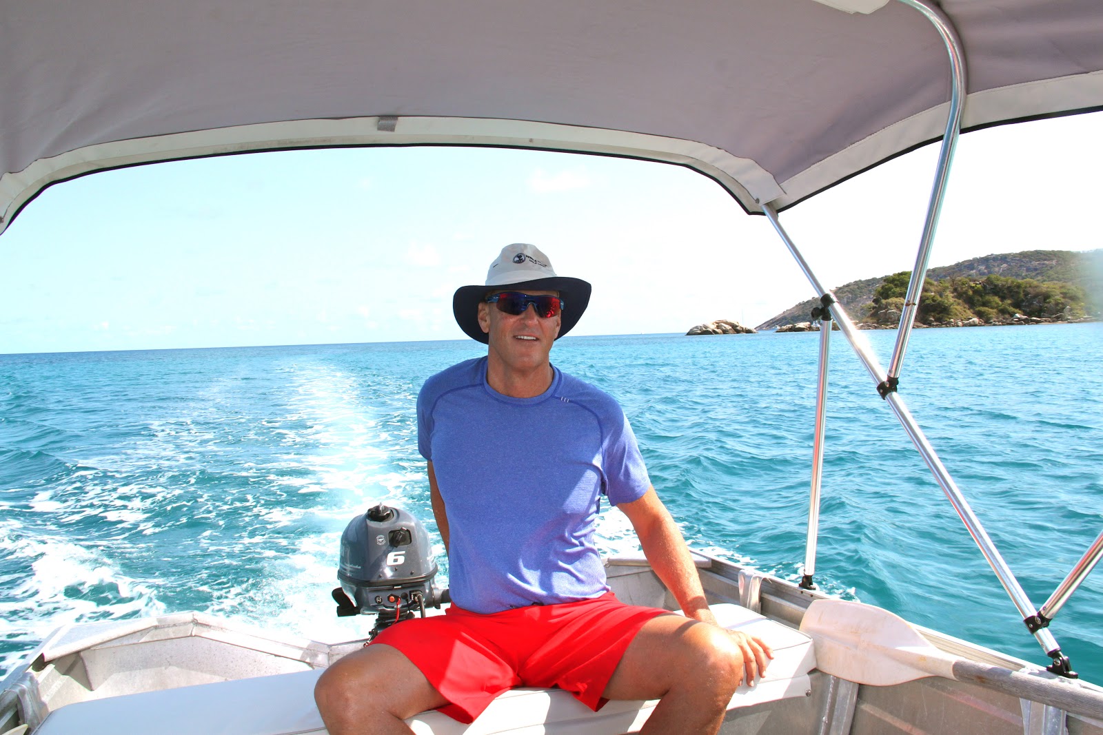
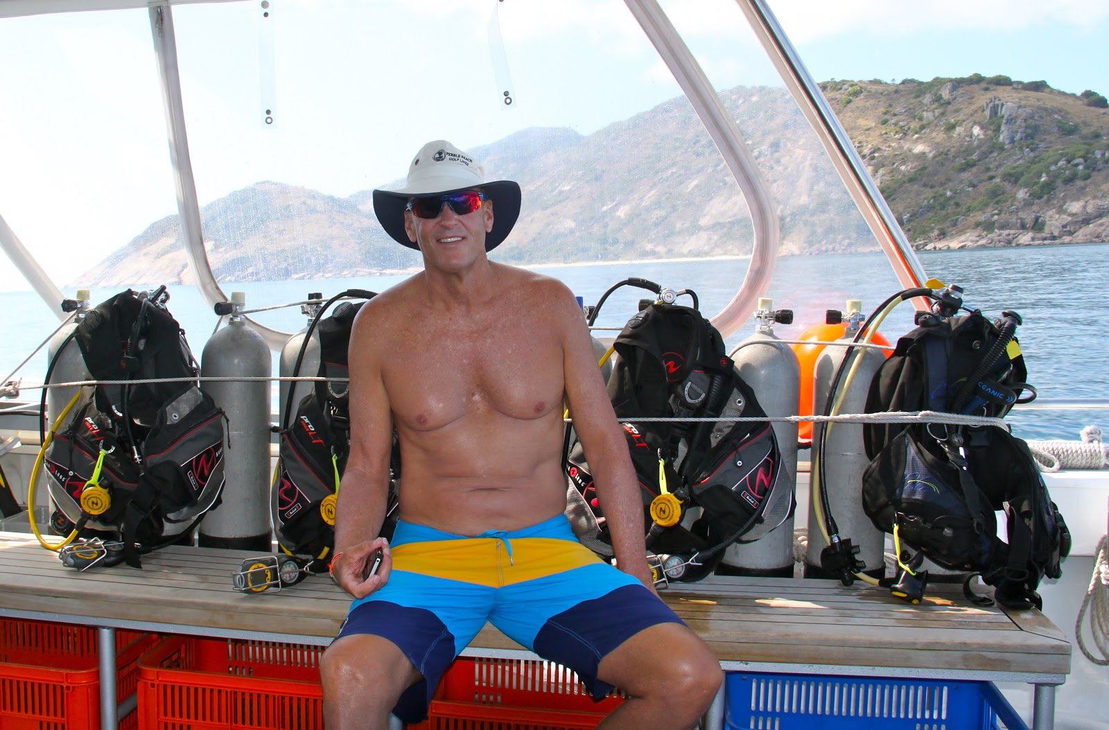
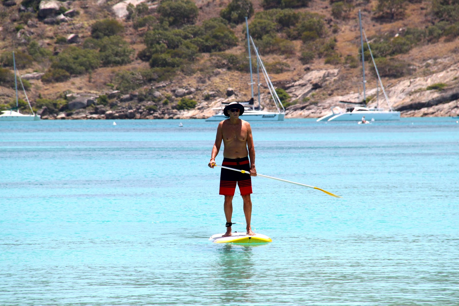
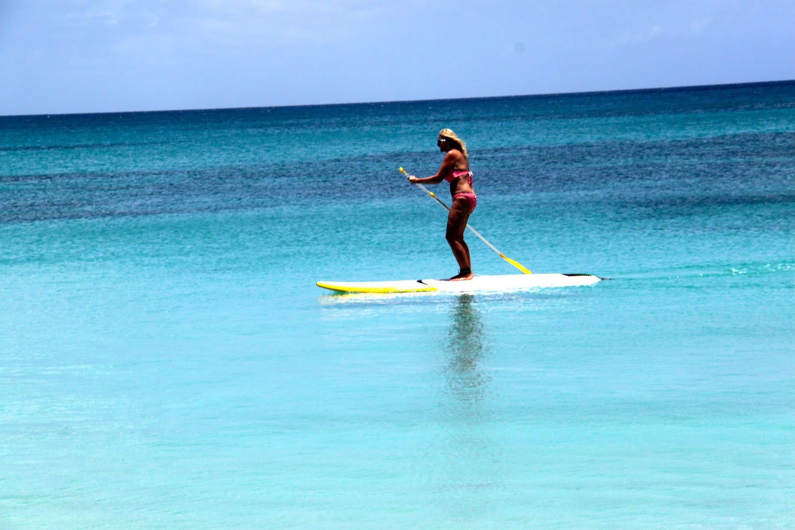
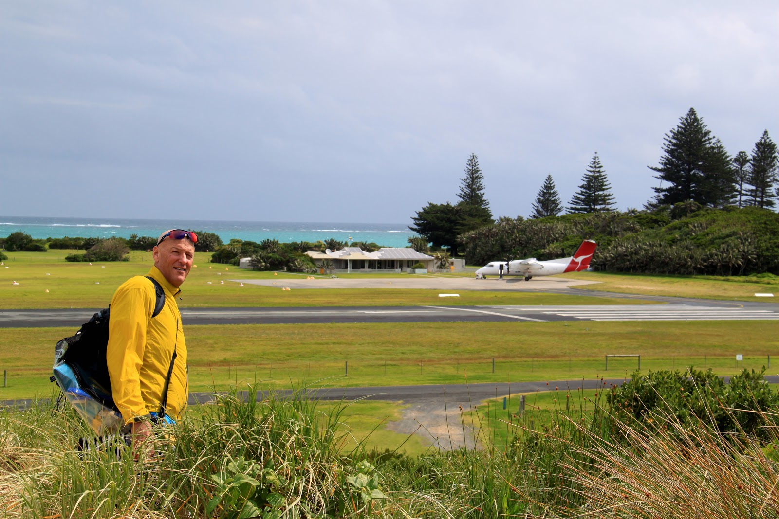
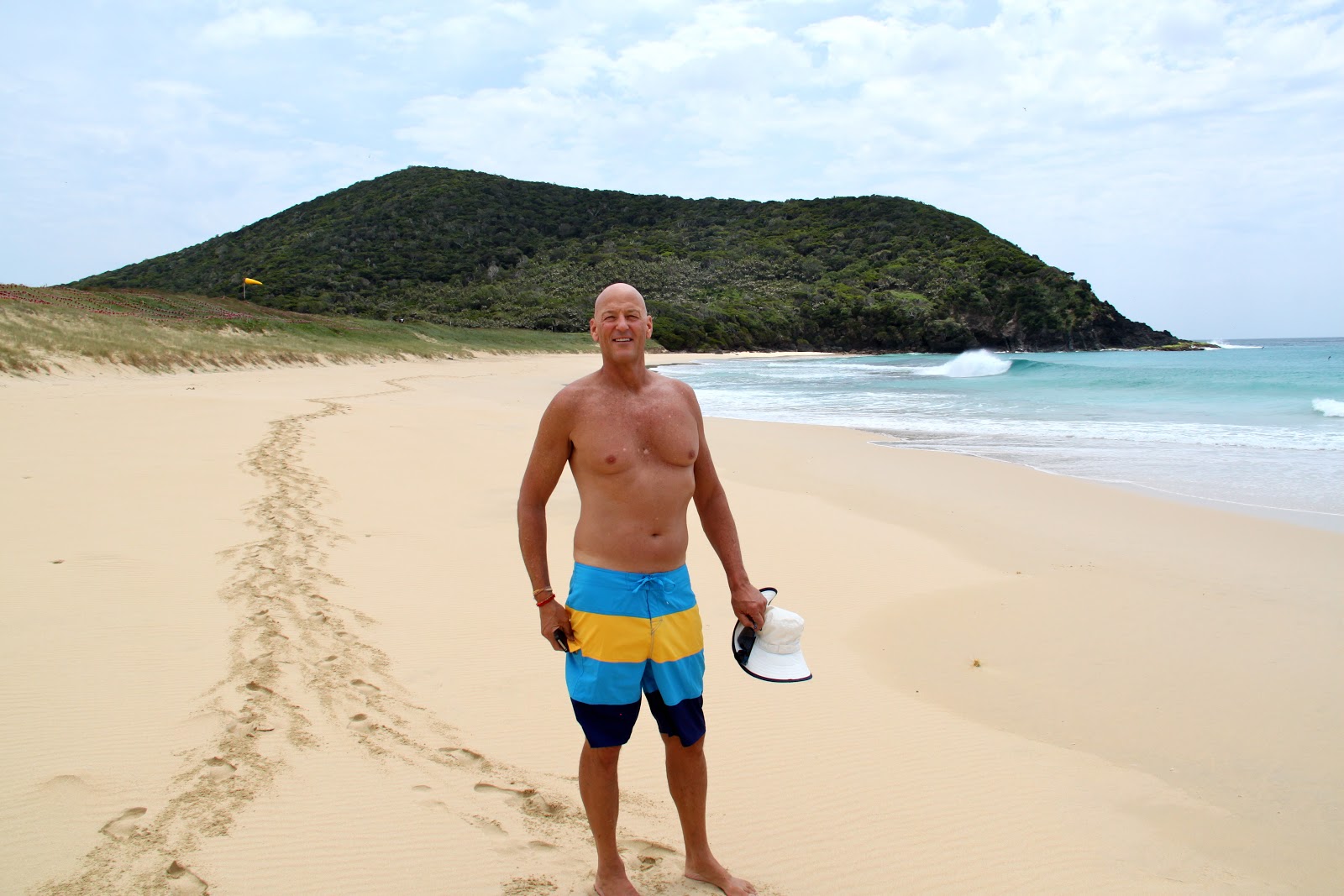
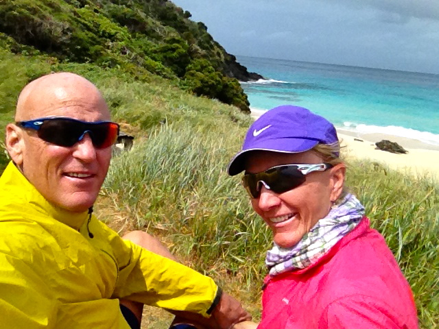
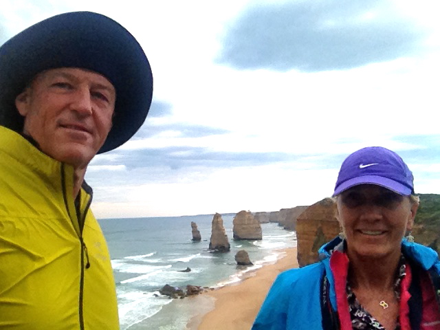
| Scott arrives at Lord Howe Island |
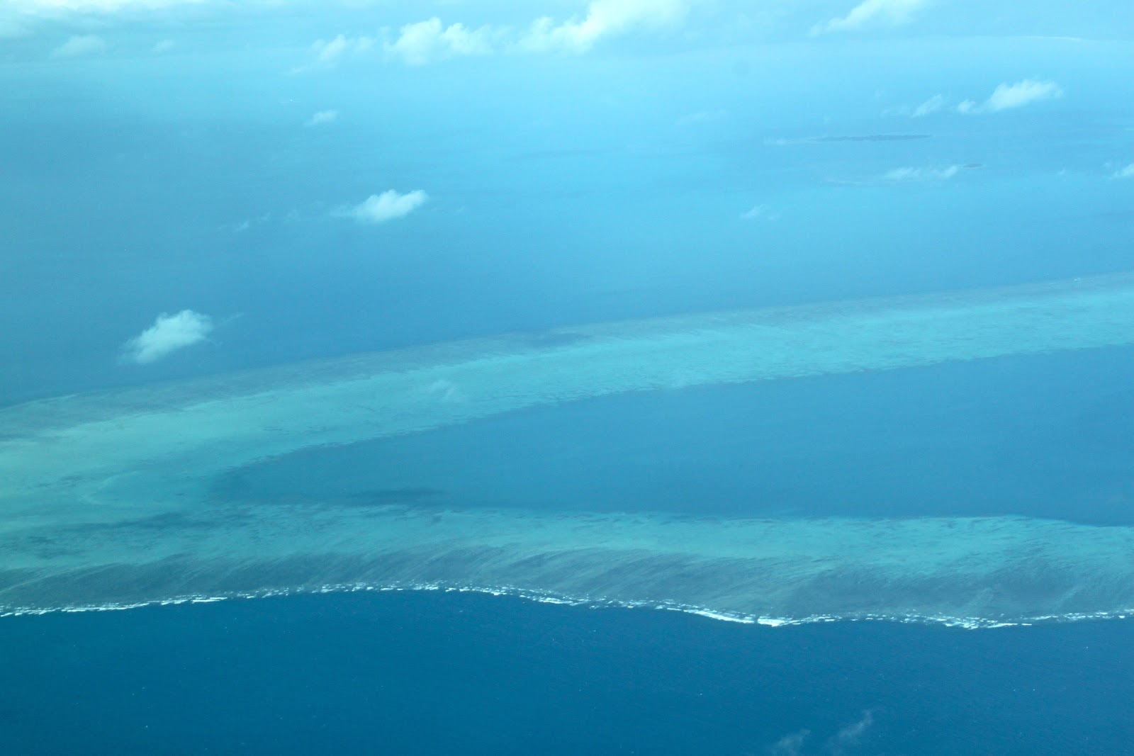
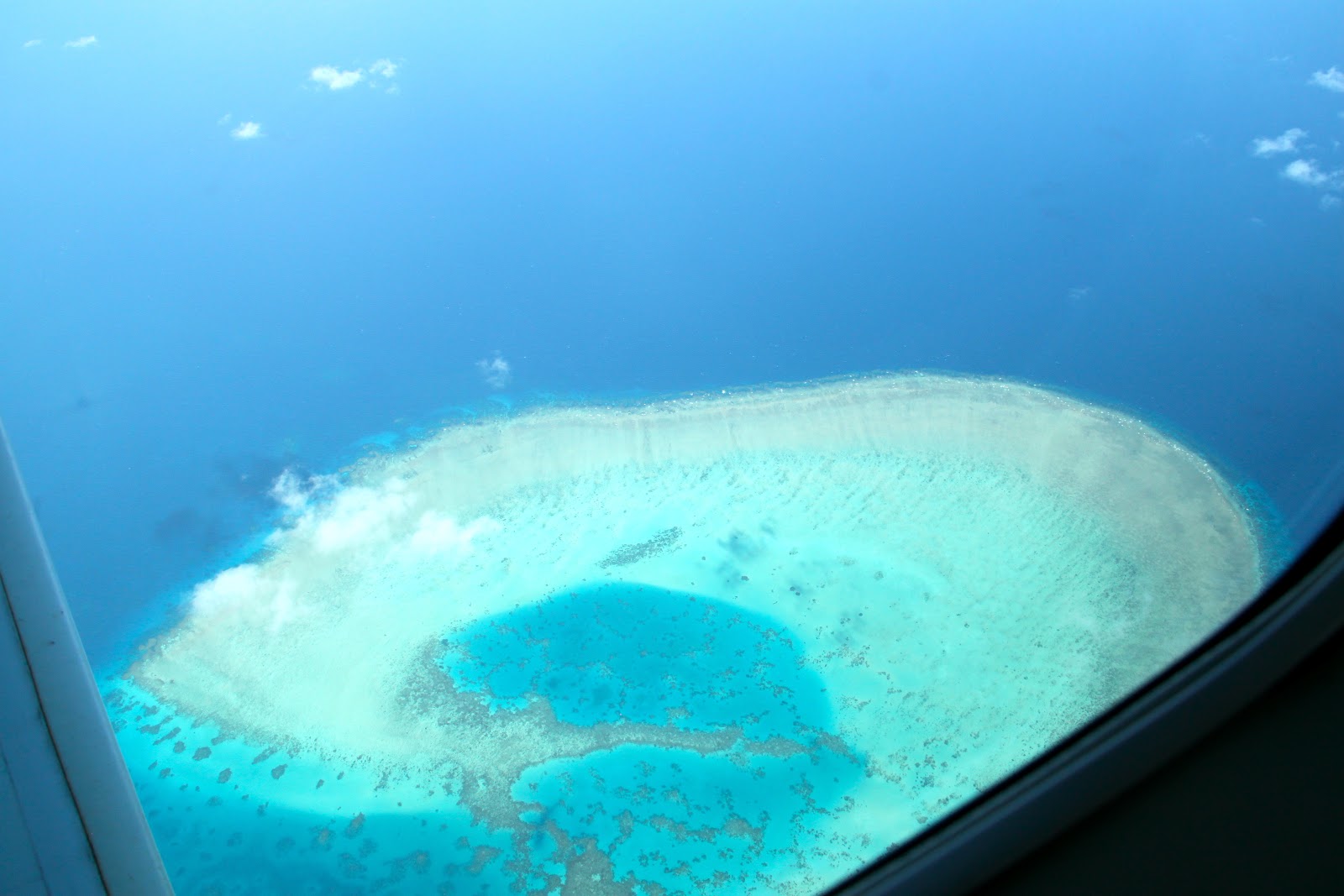
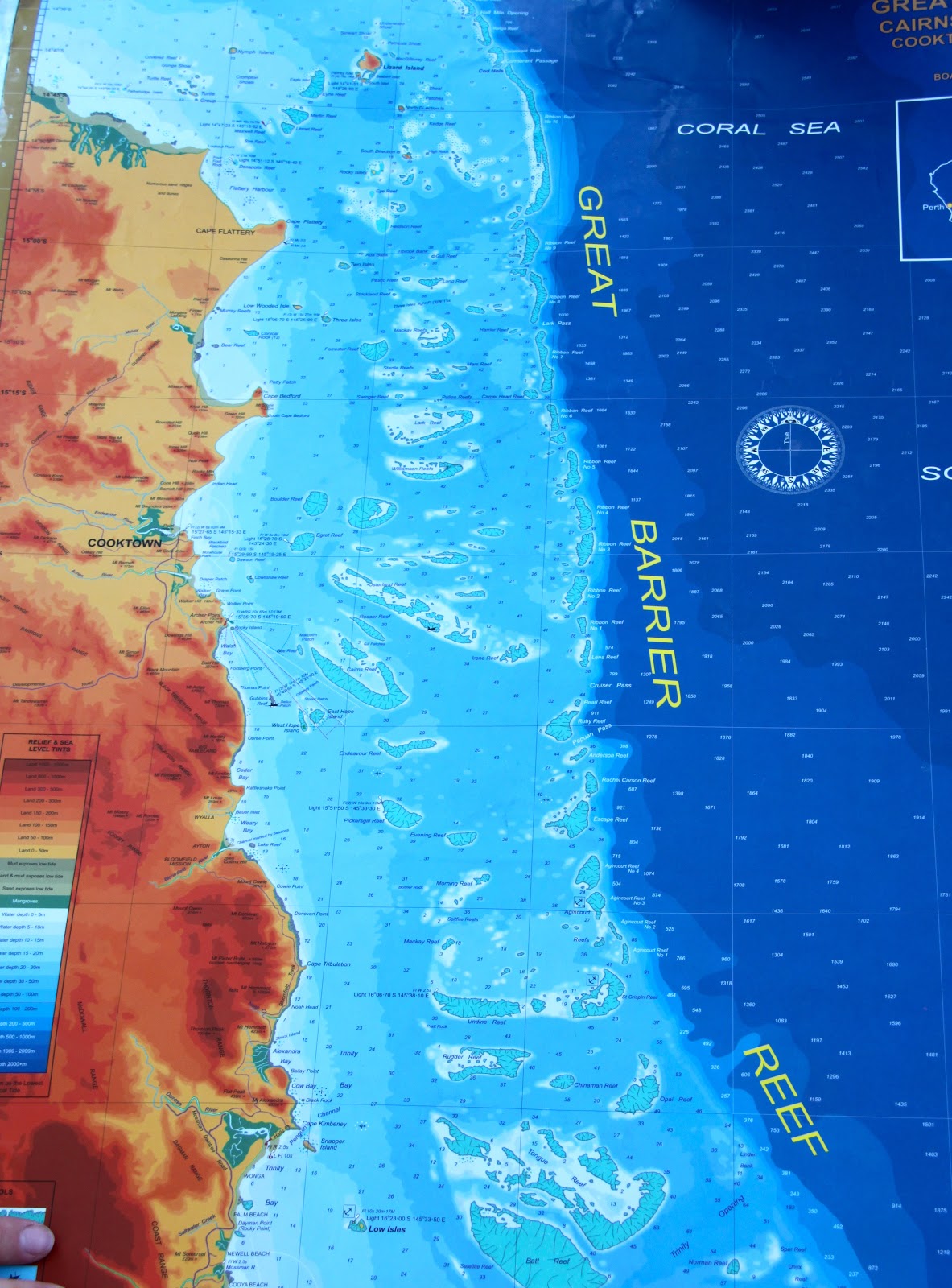
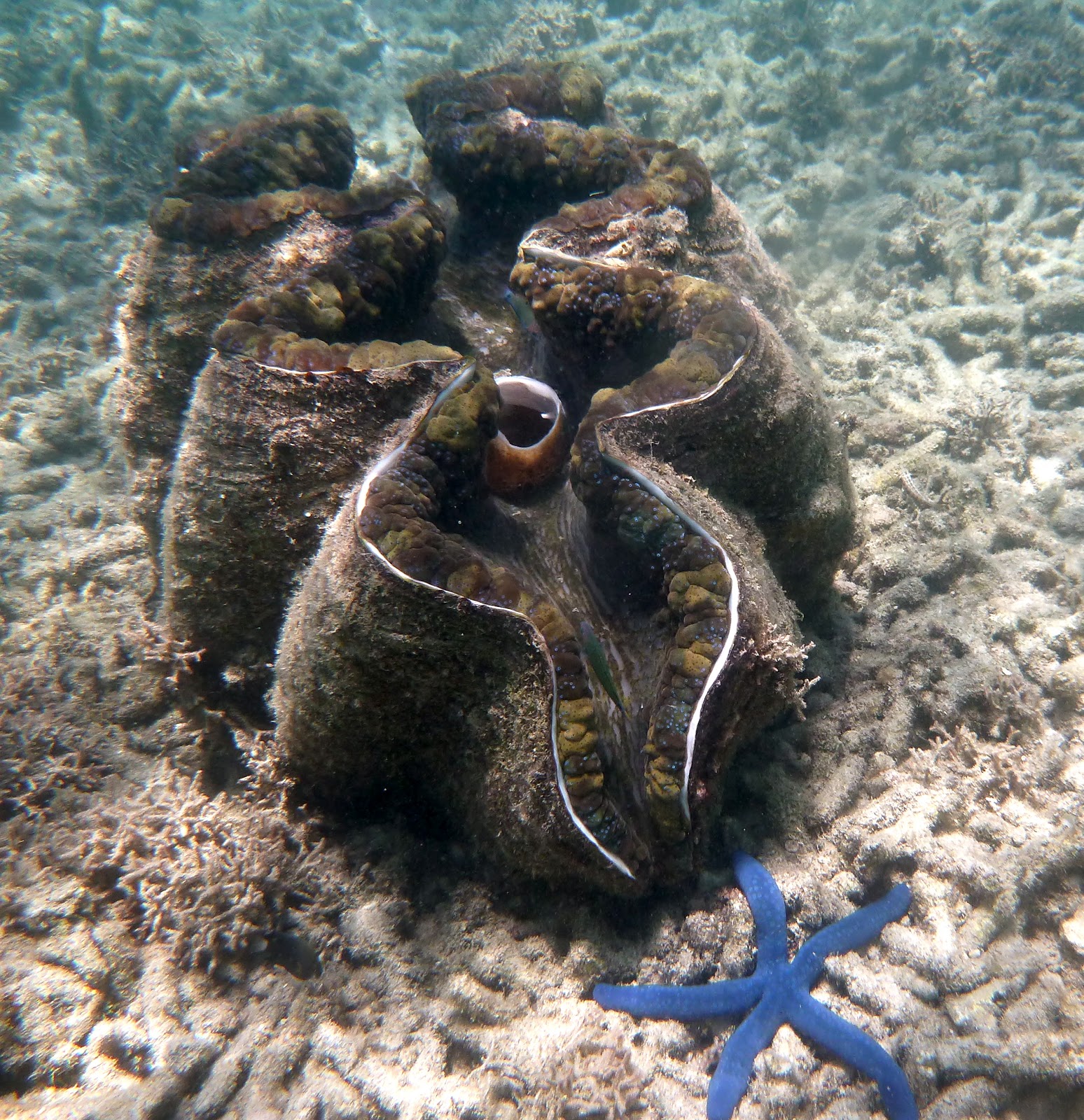
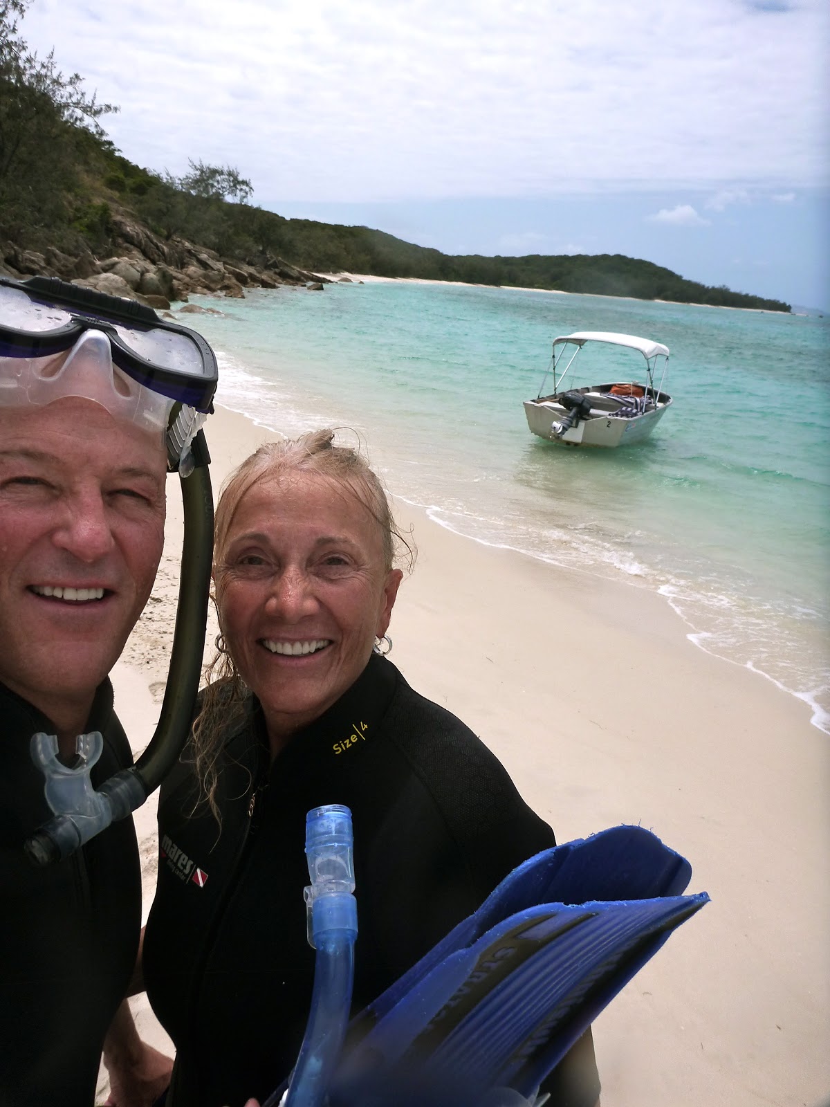
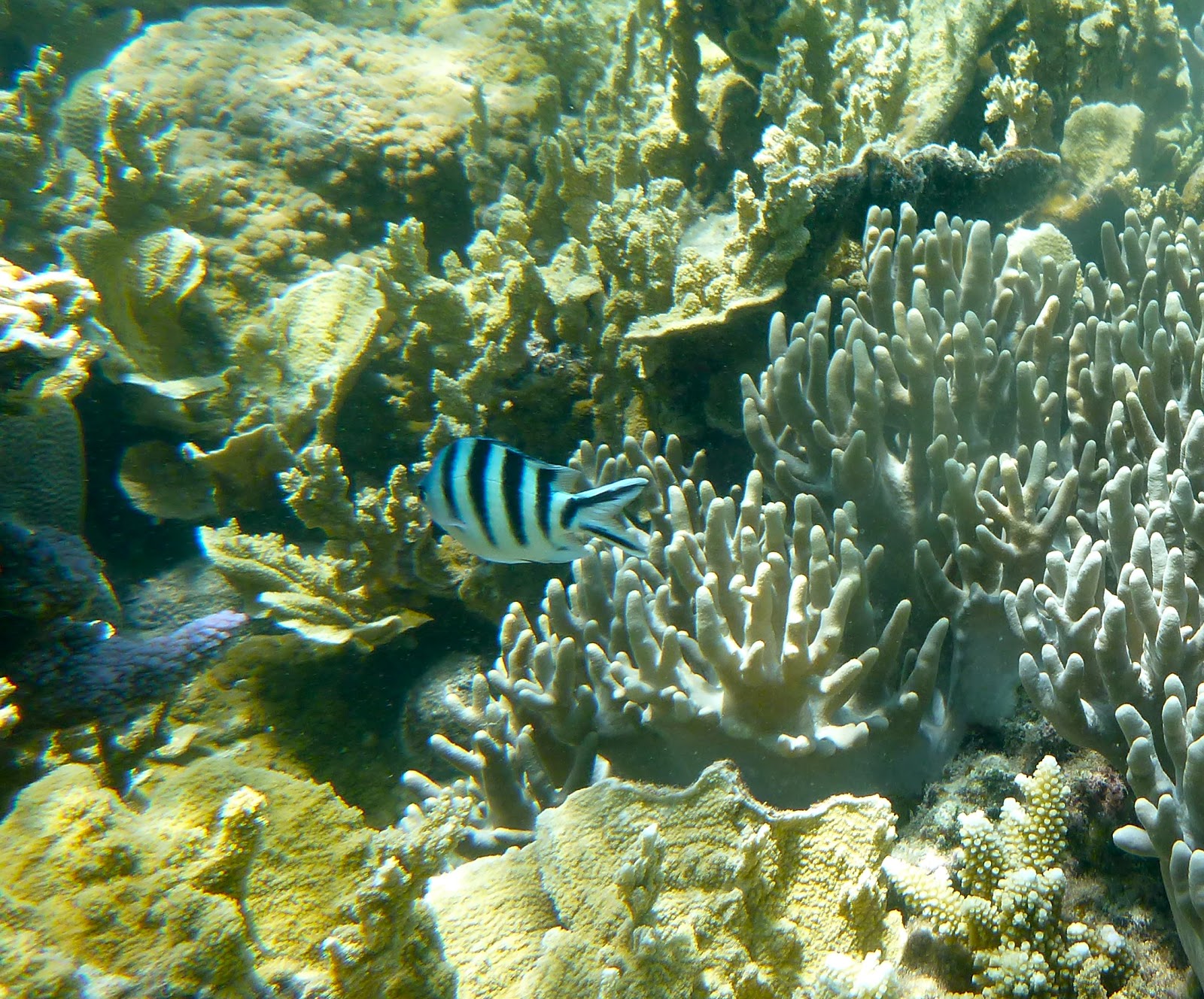
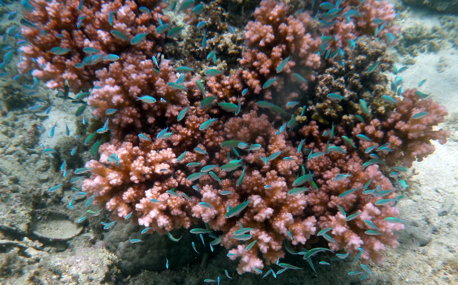
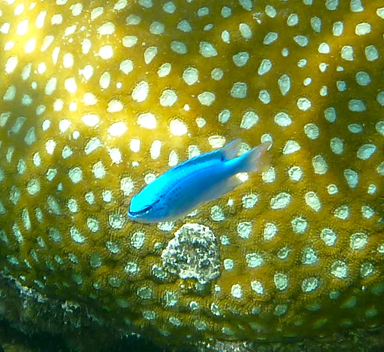
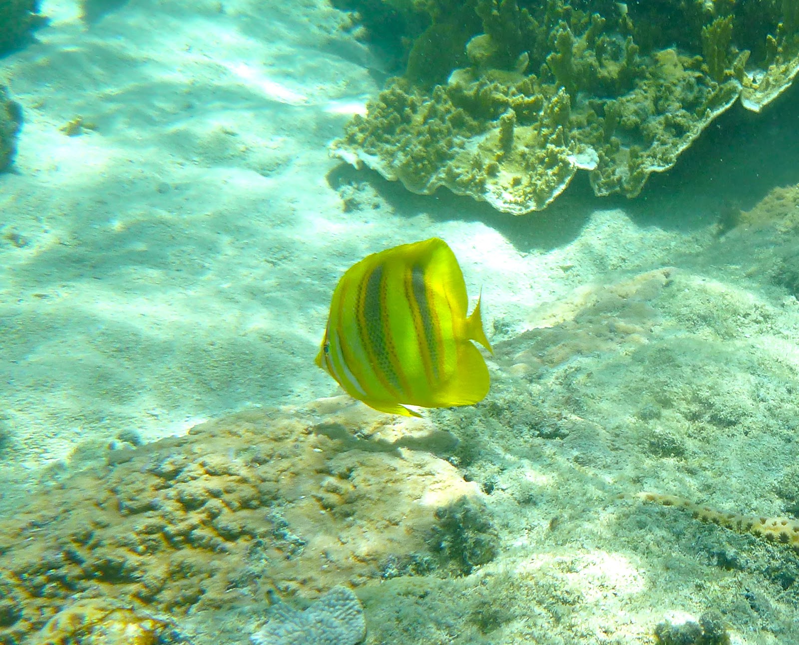
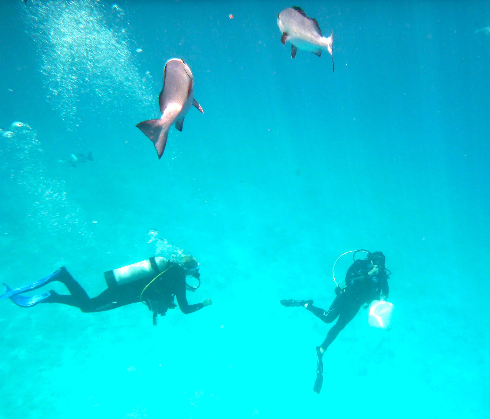
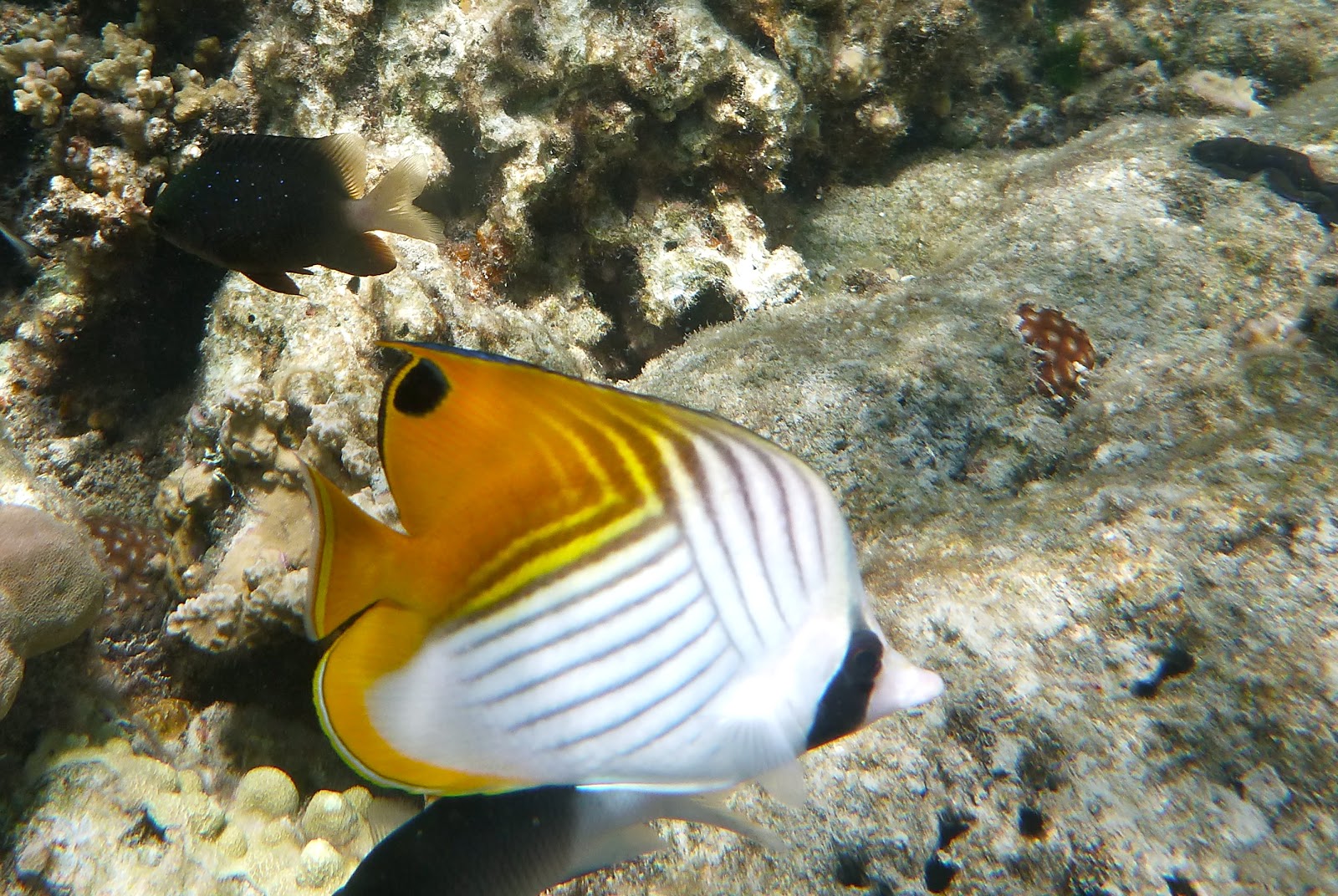
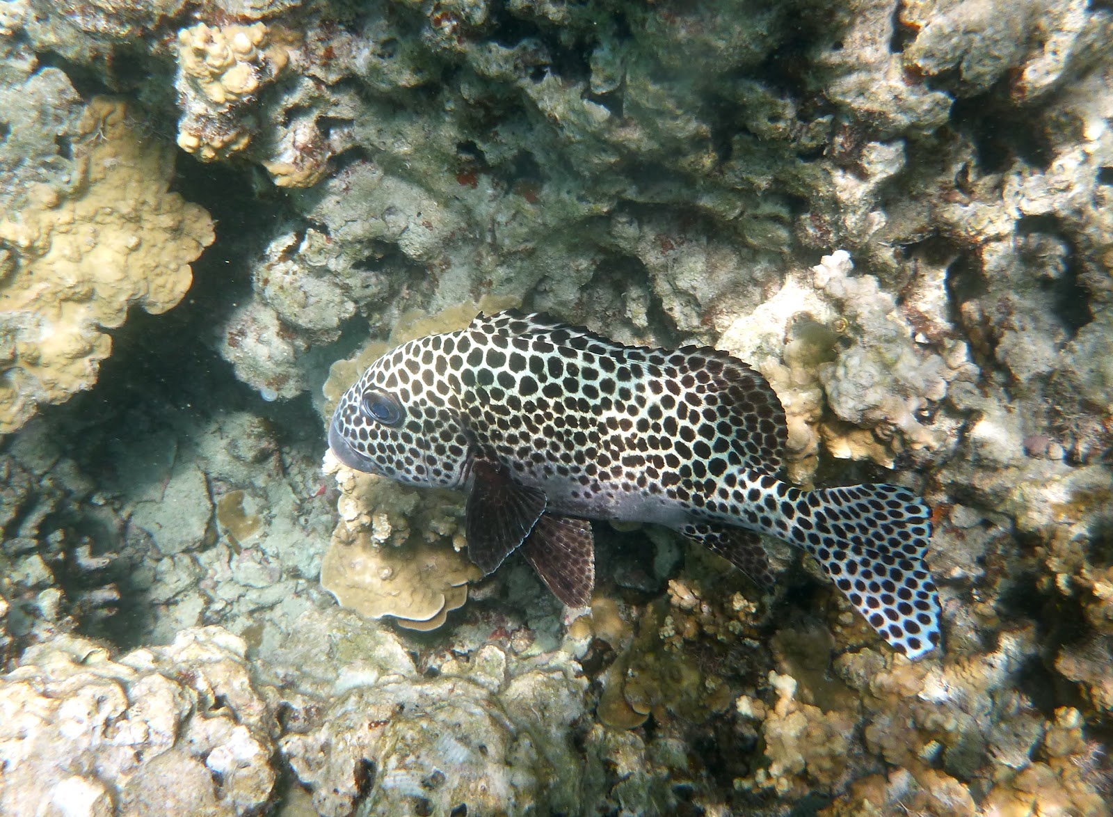
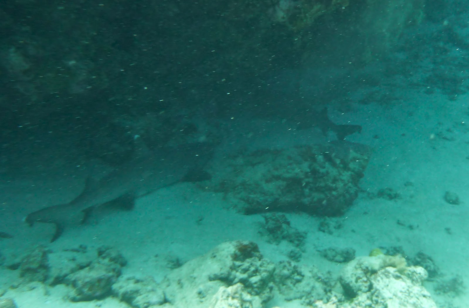
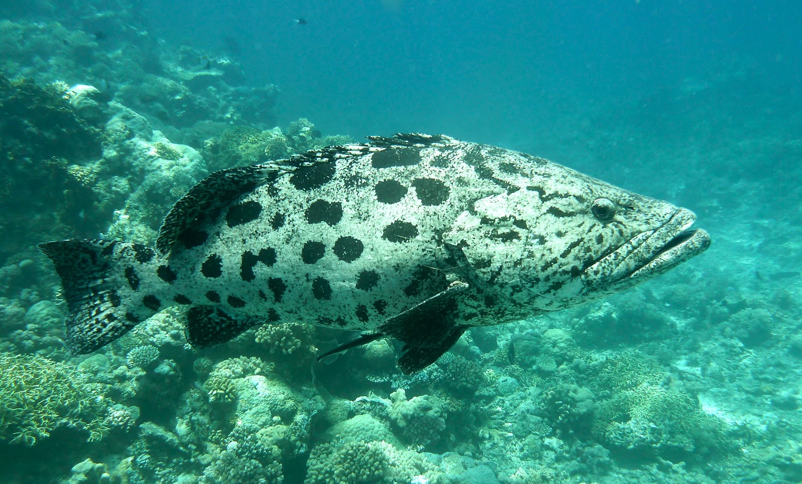
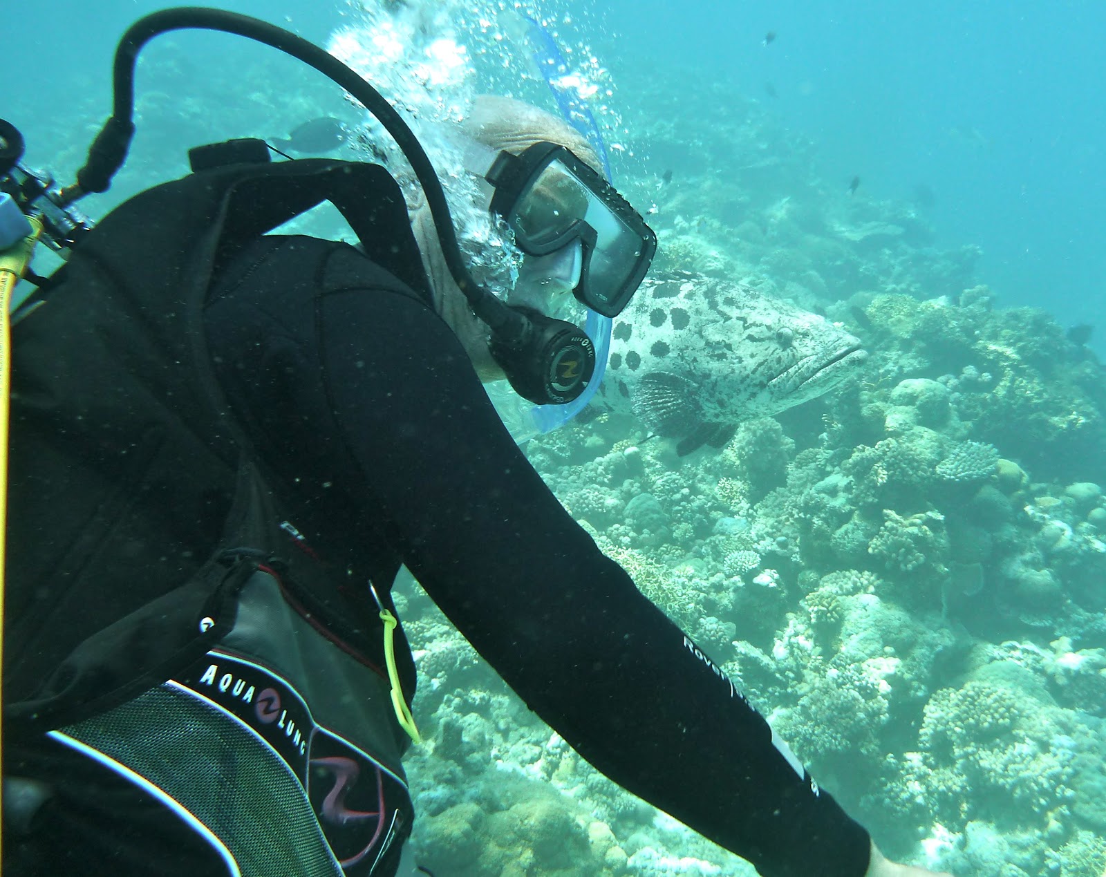
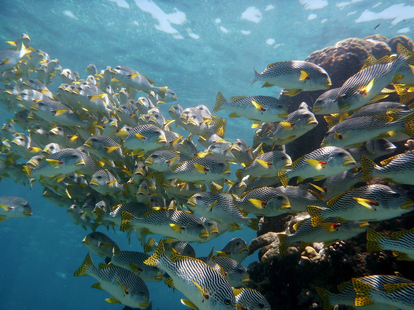
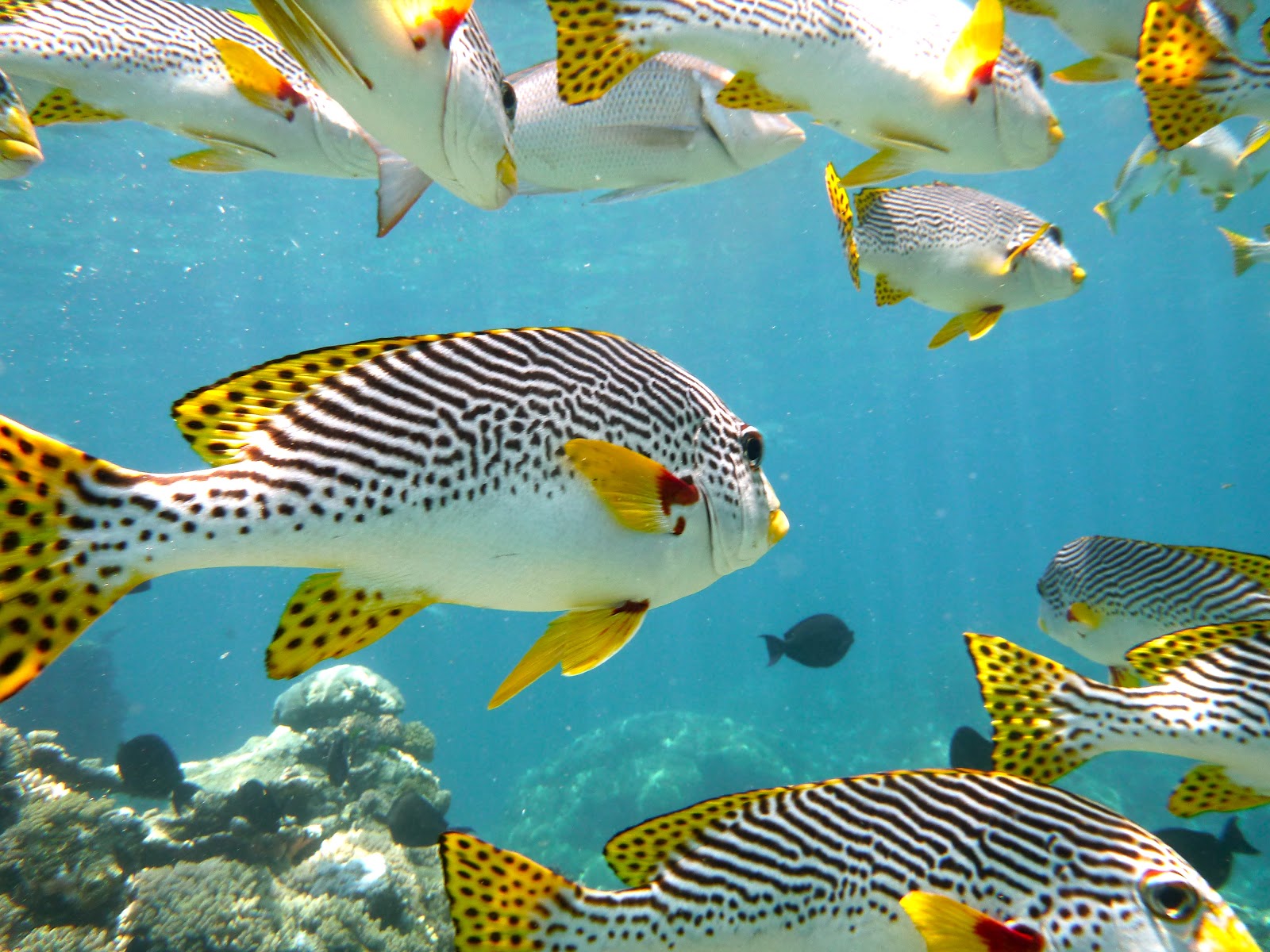
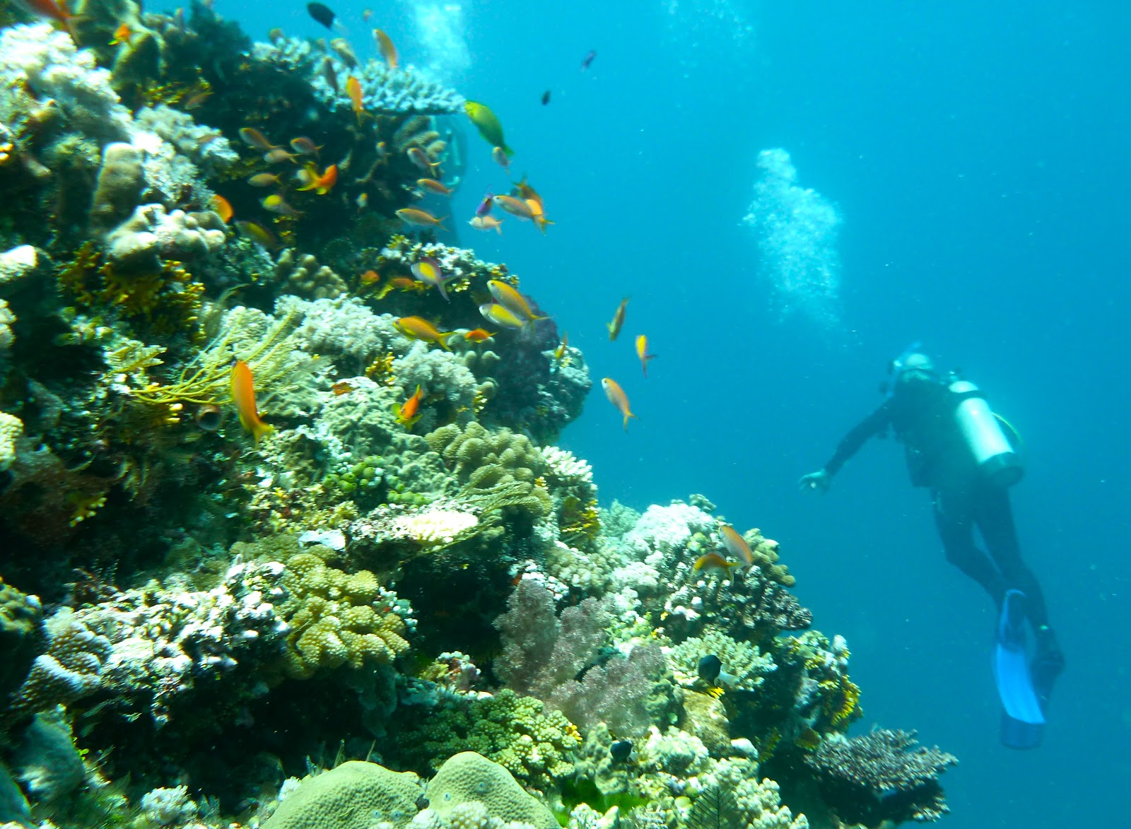
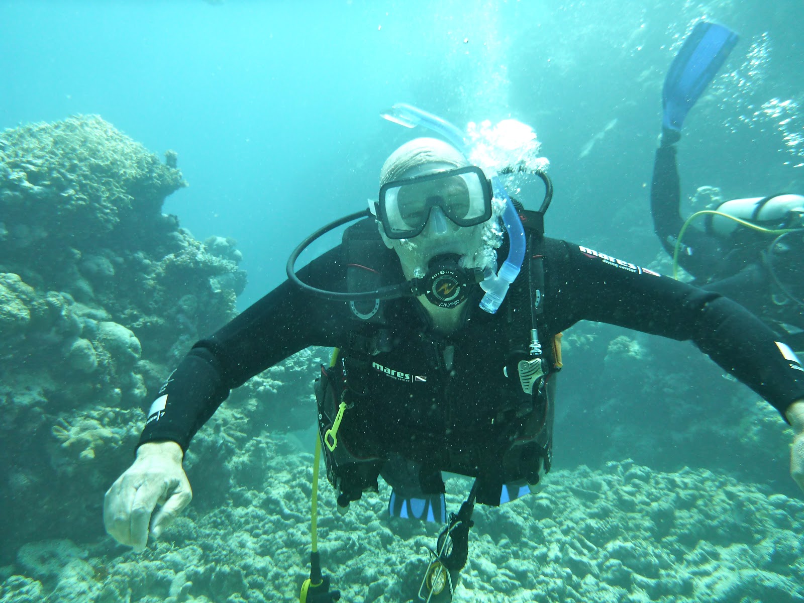
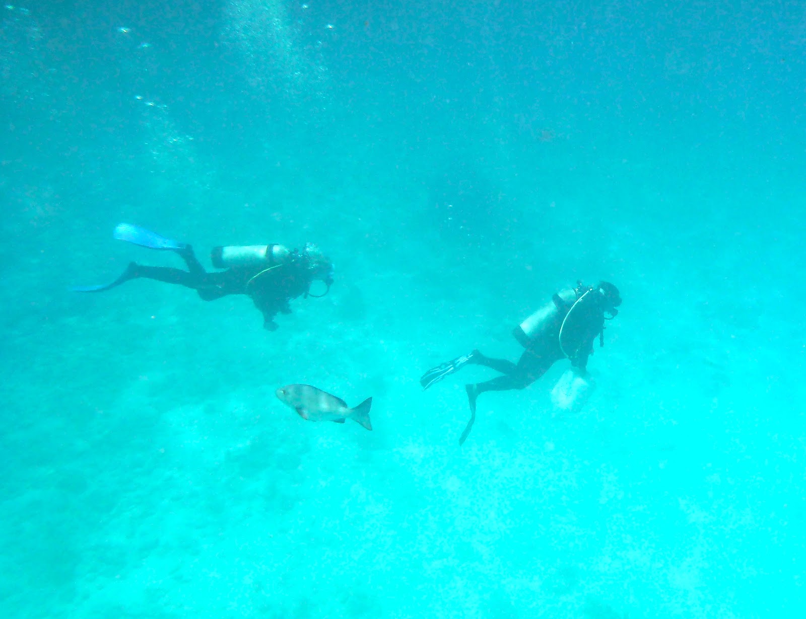
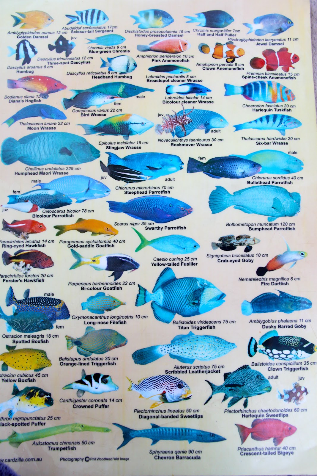
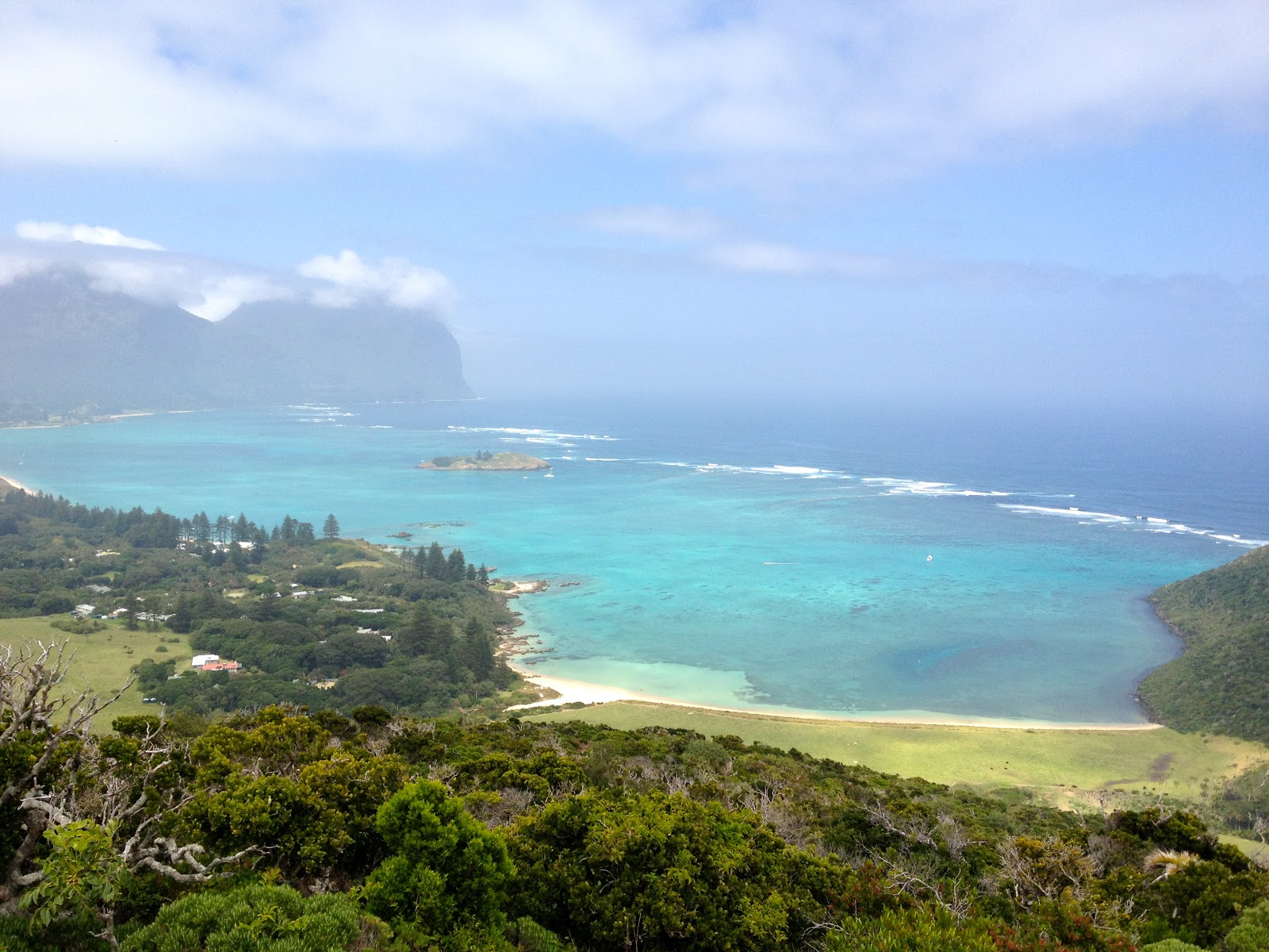
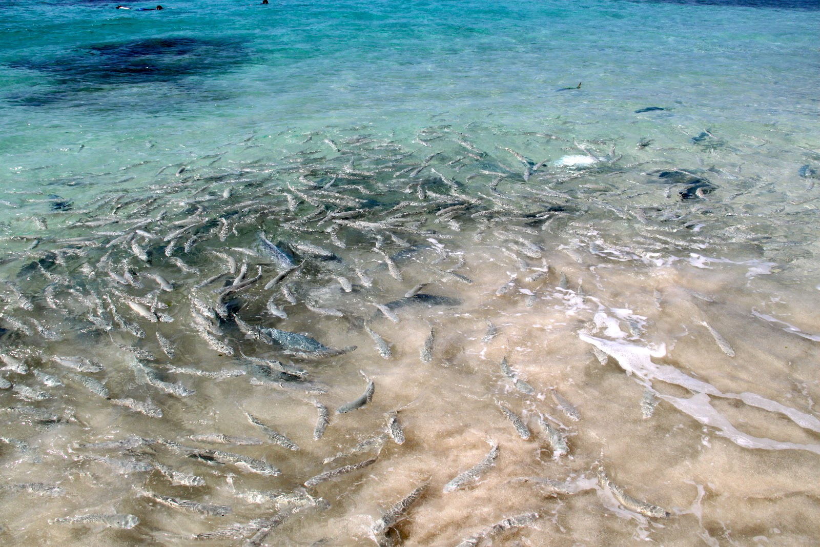
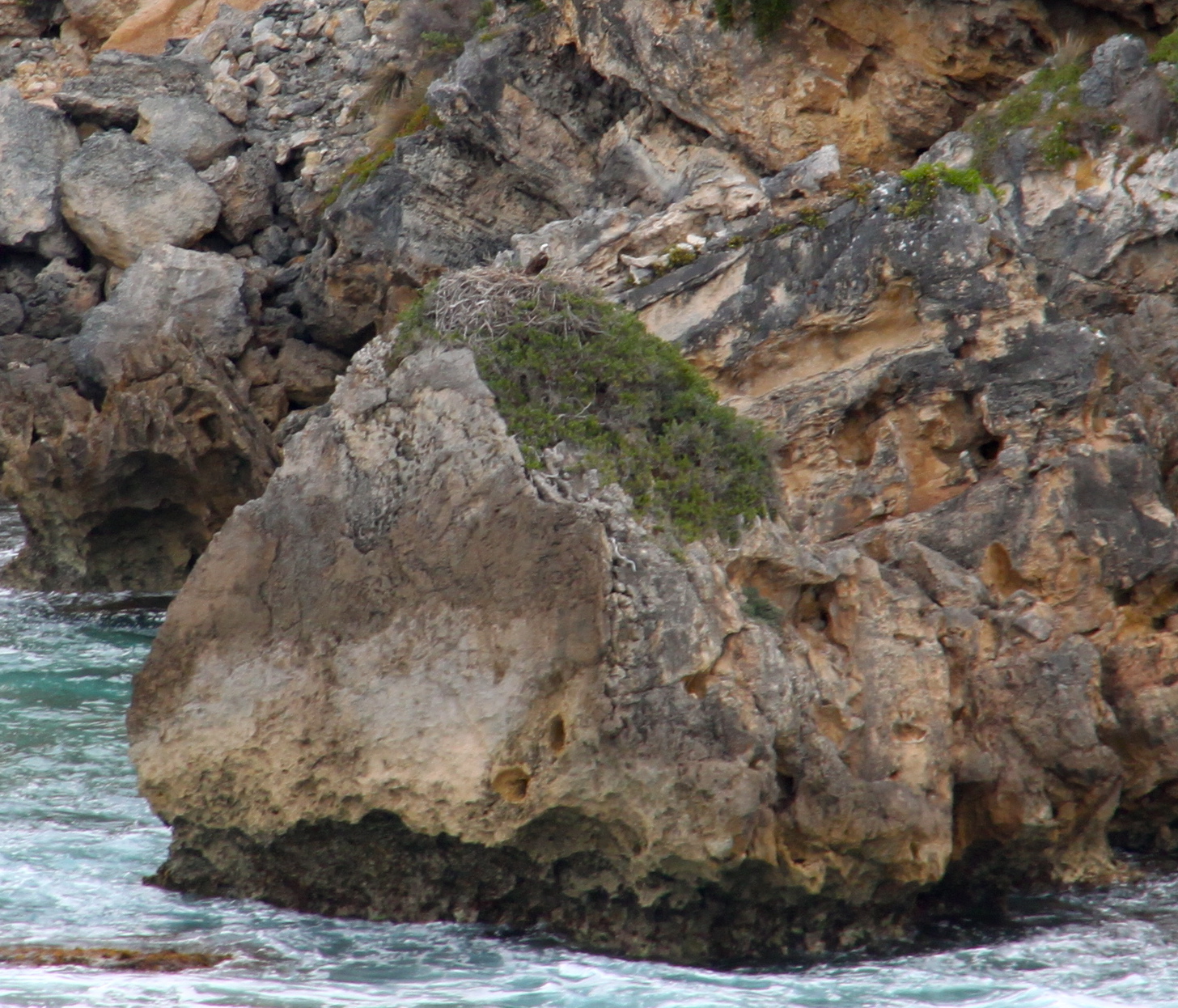
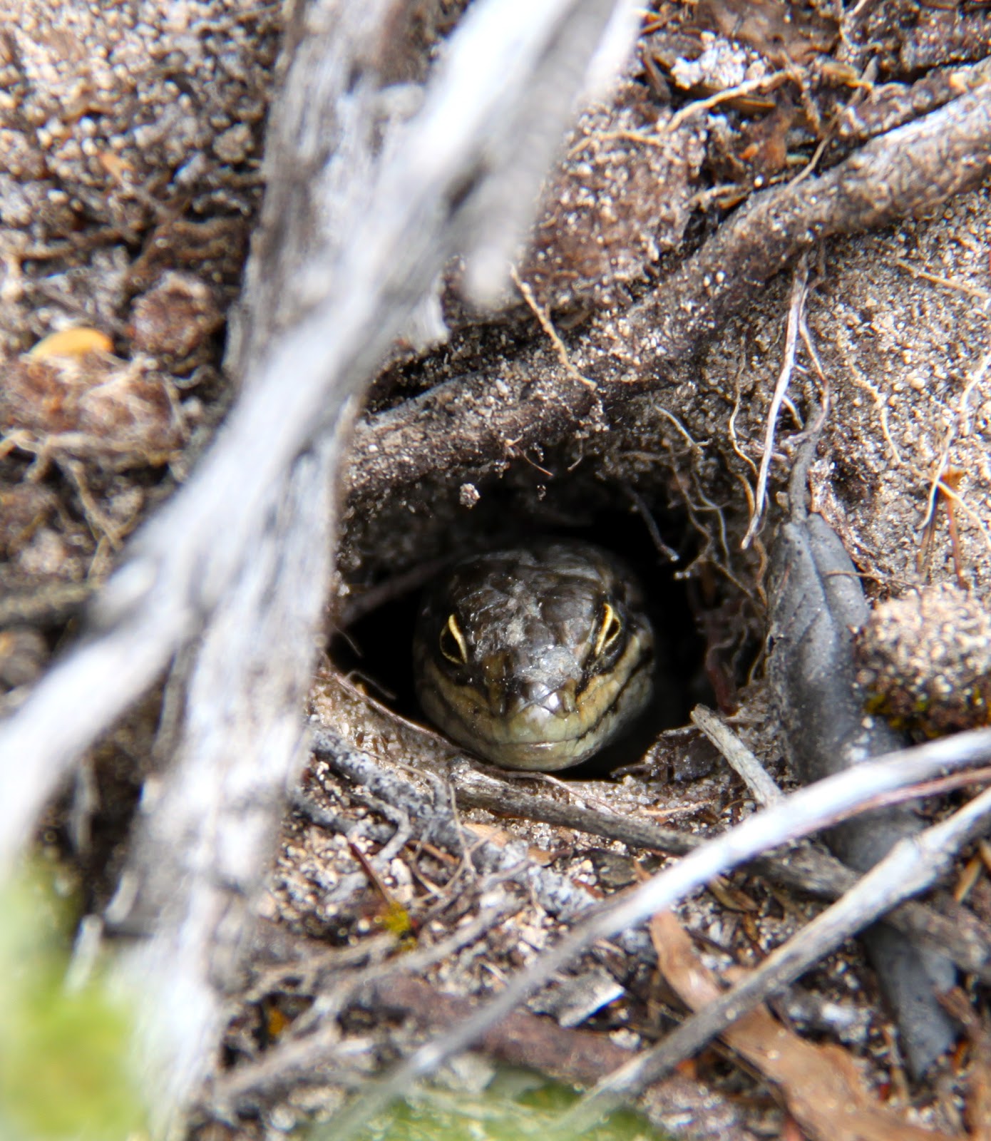
Lord Howe marks the southern end of the Great Barrier Reef.
It is the southern most coral reef in the world.
There is a mix of tropical warm water and cold water fish as a result of the collision of warm water and cold water currents.
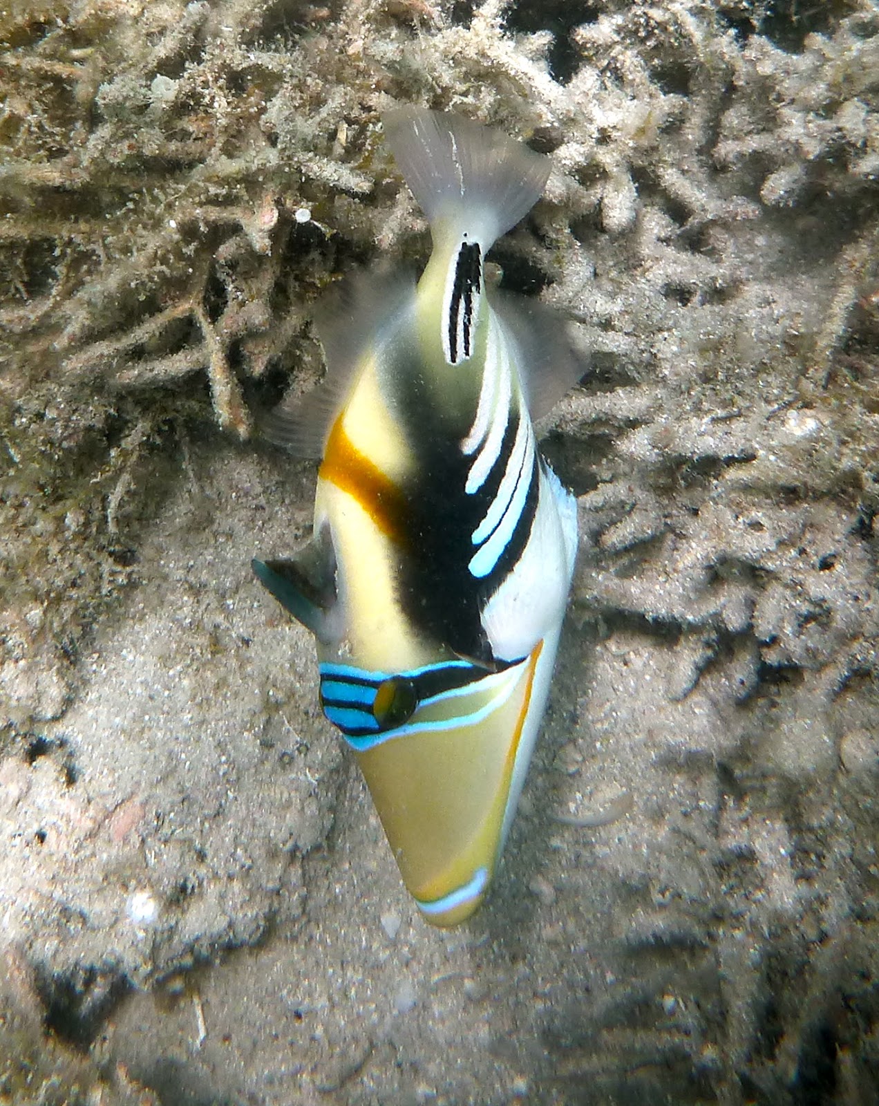
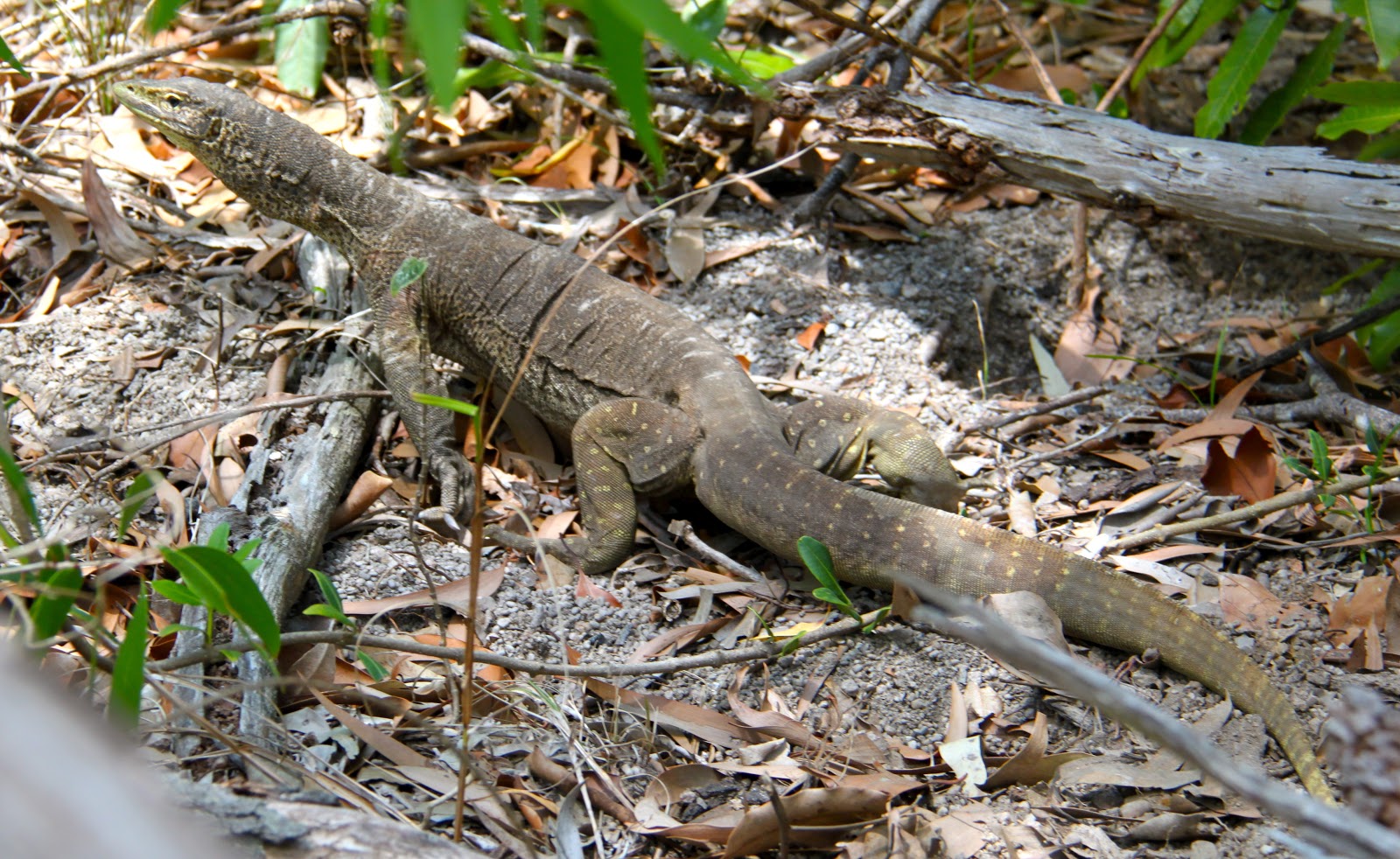
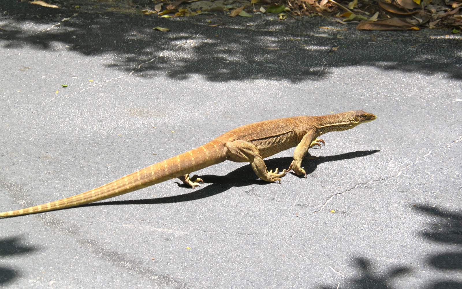
The clown fish is usually yellow and white but at Lord Howe it is black and white.
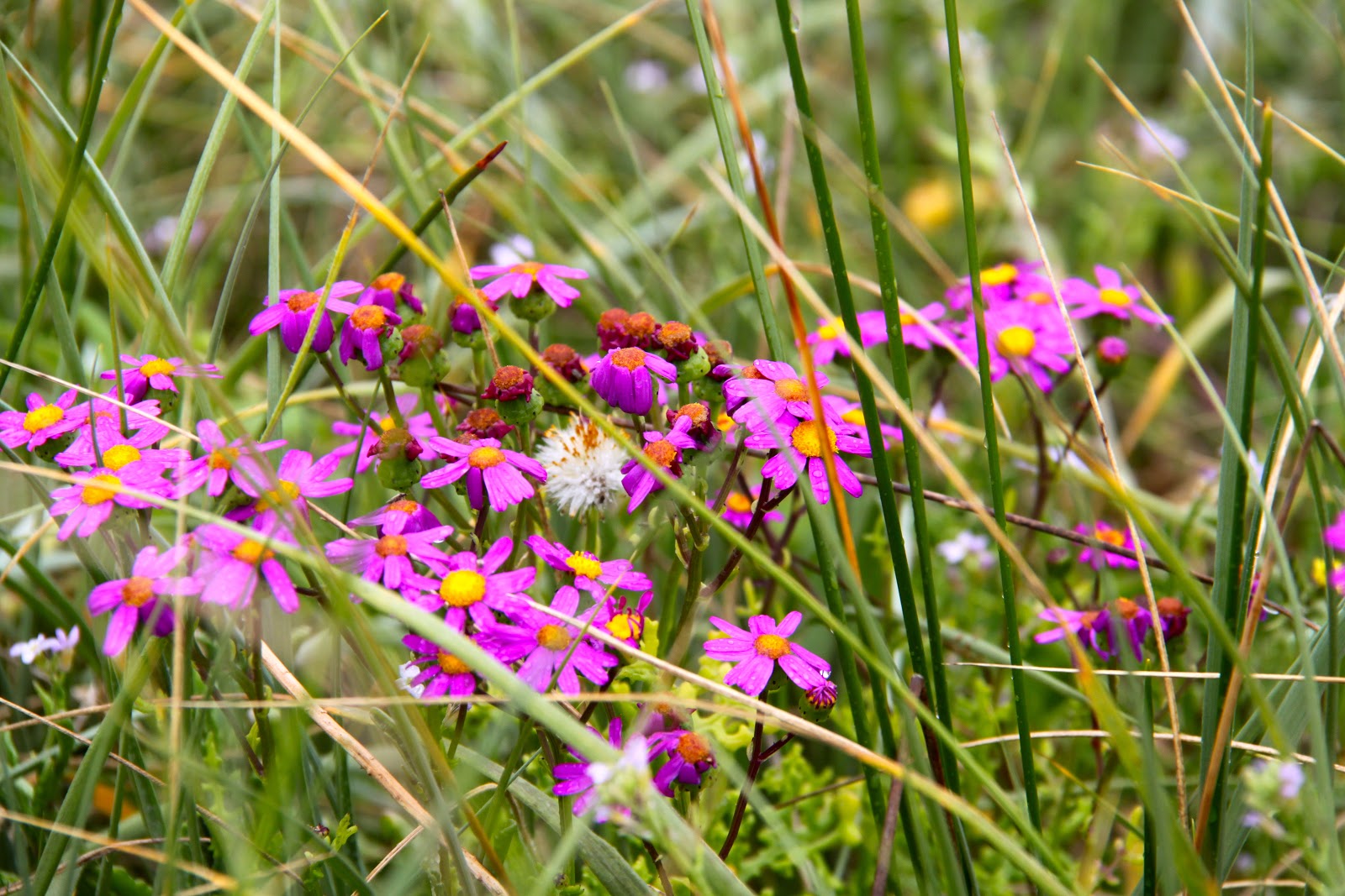
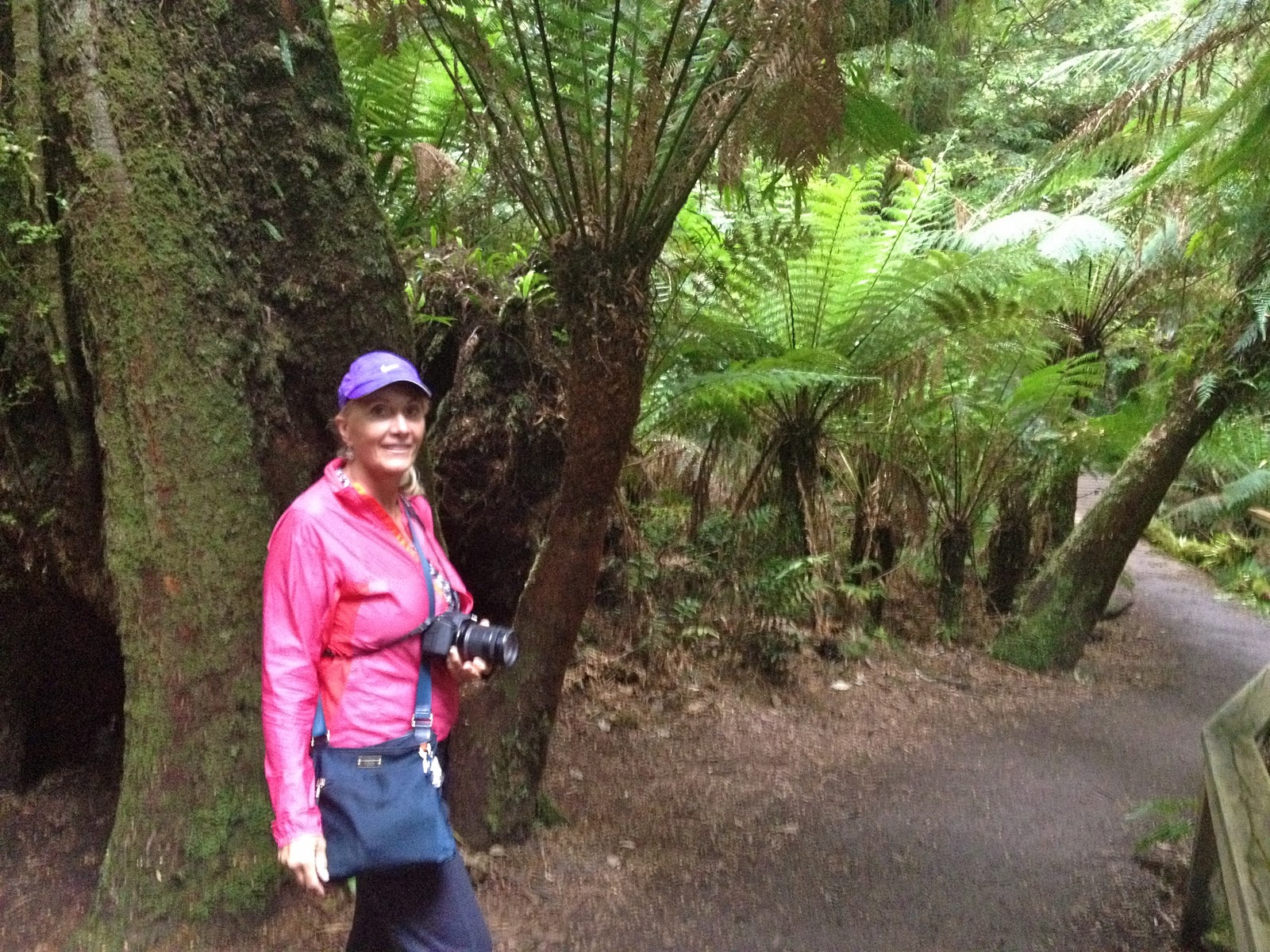
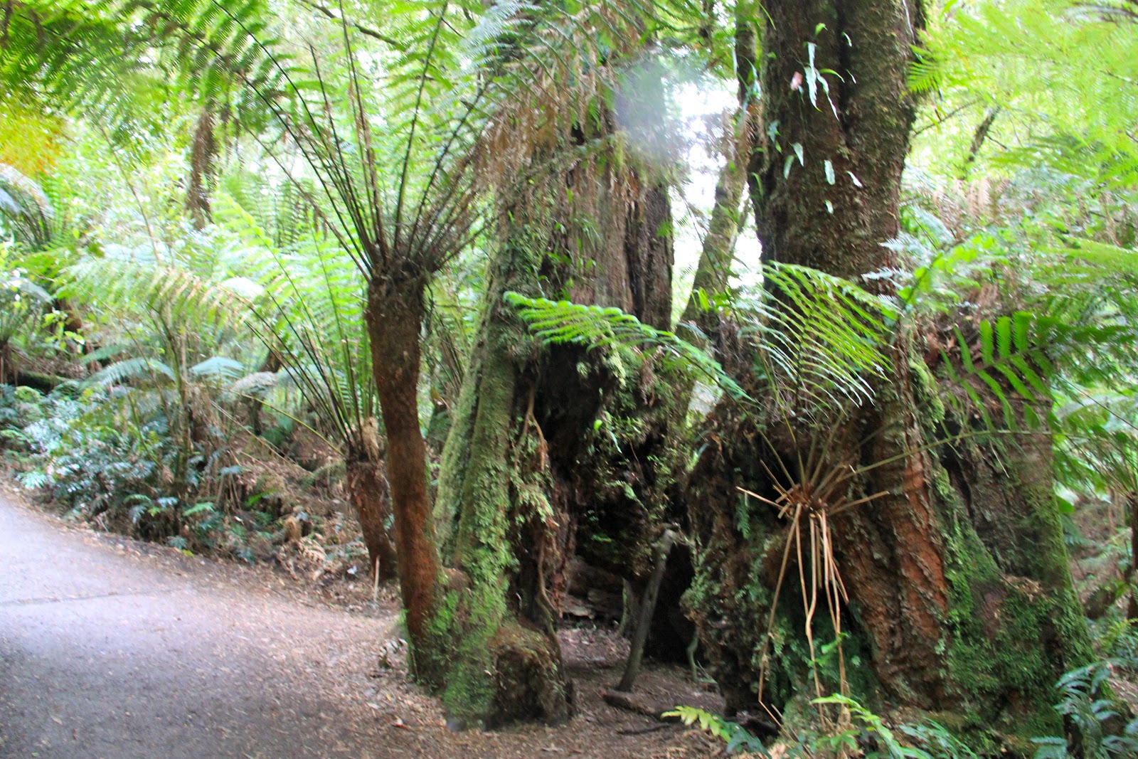
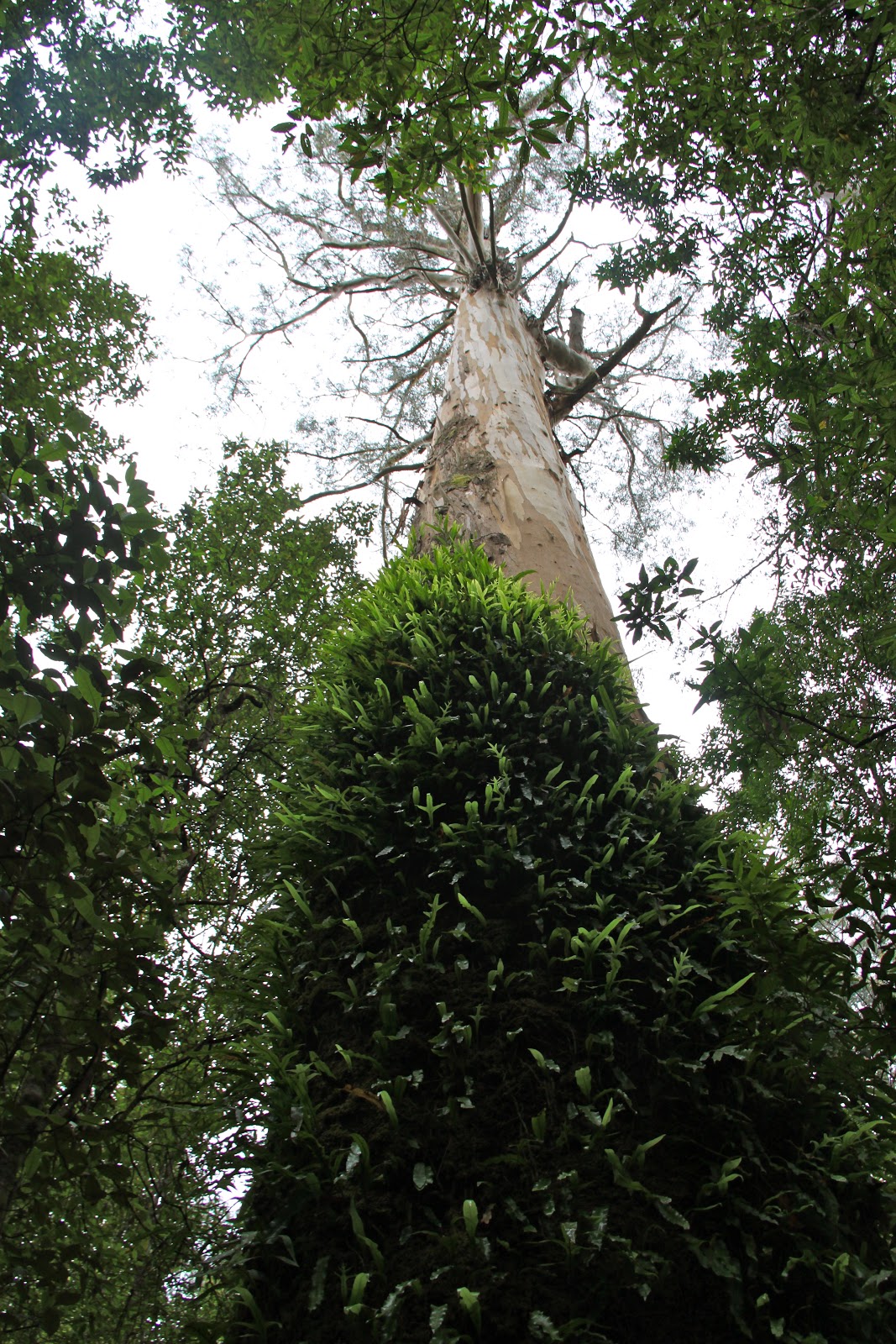
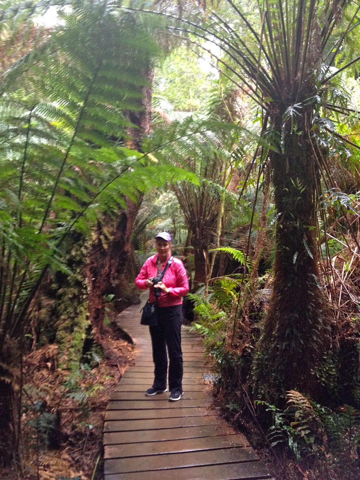
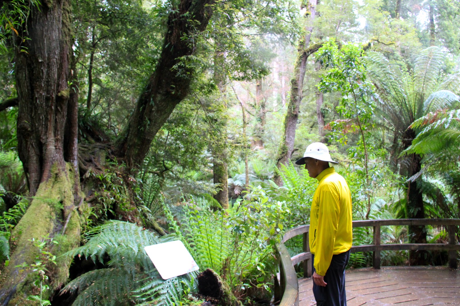
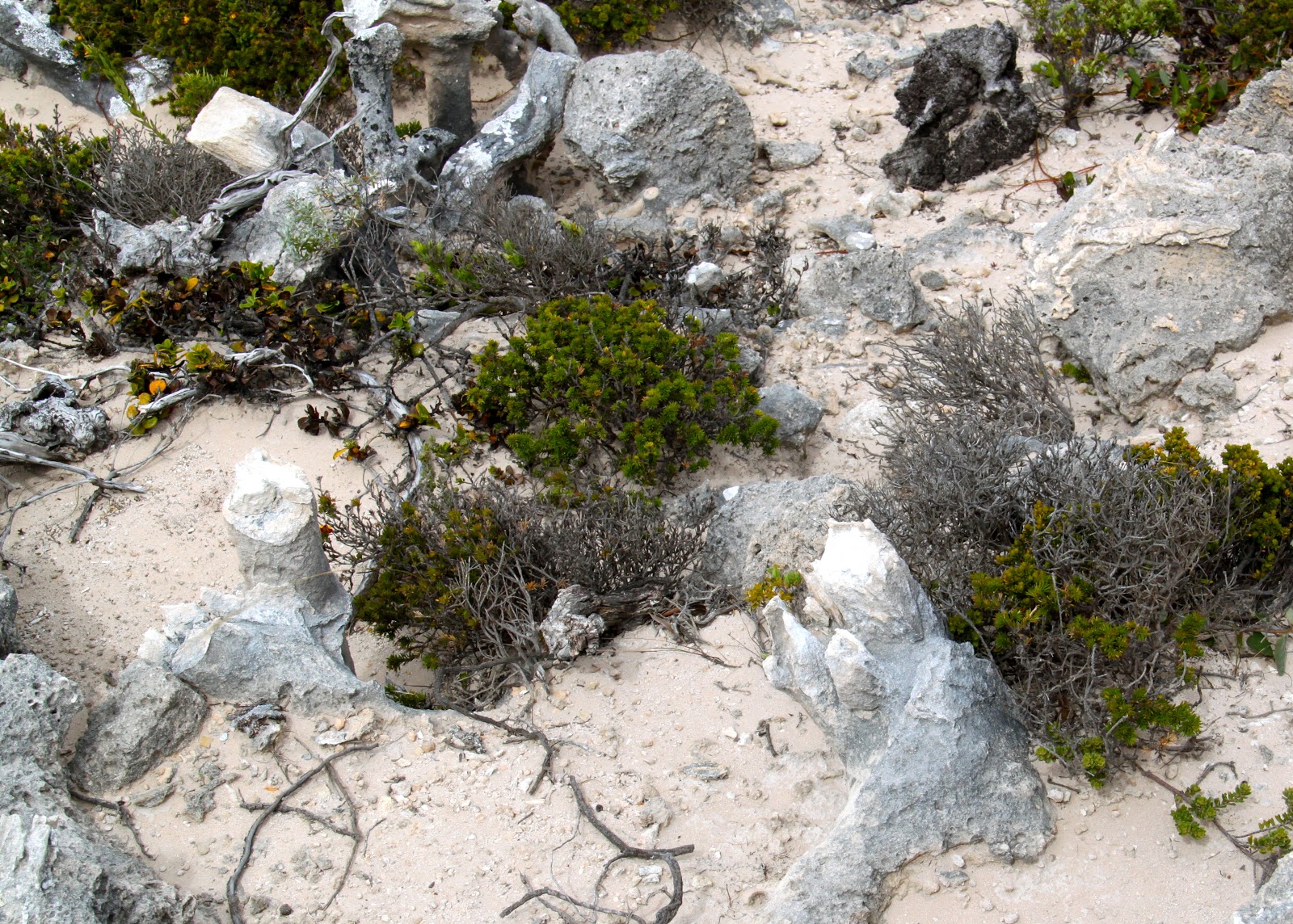
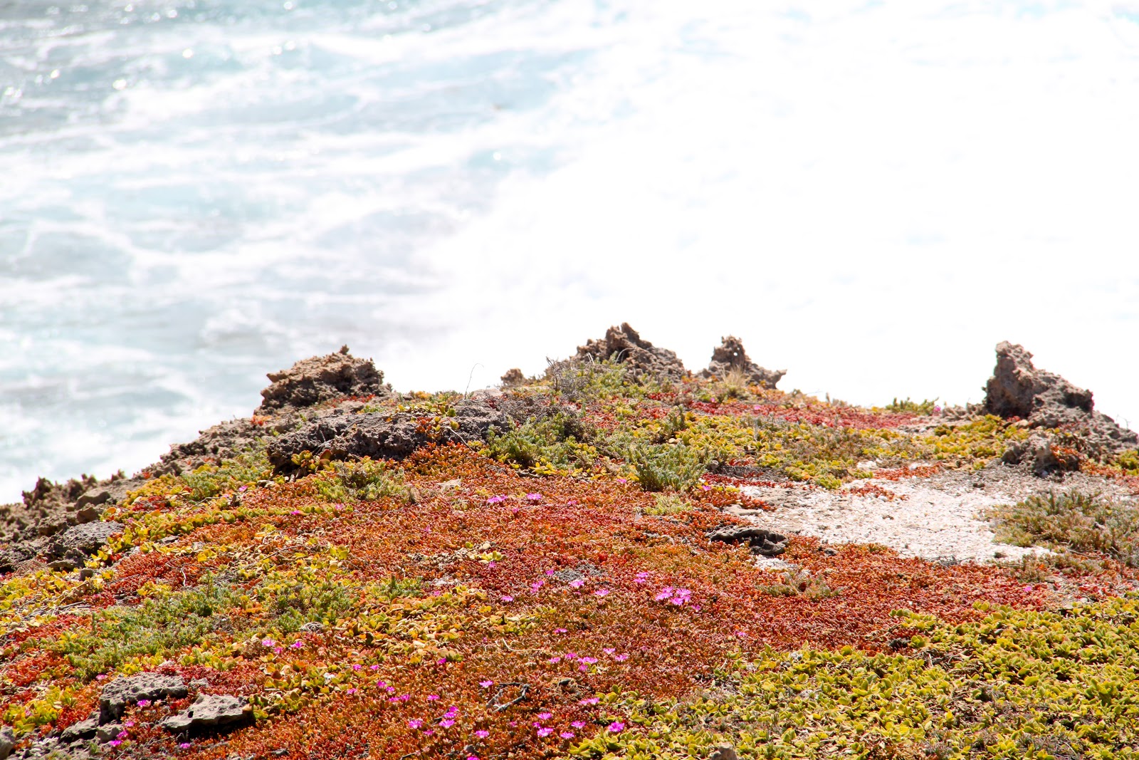
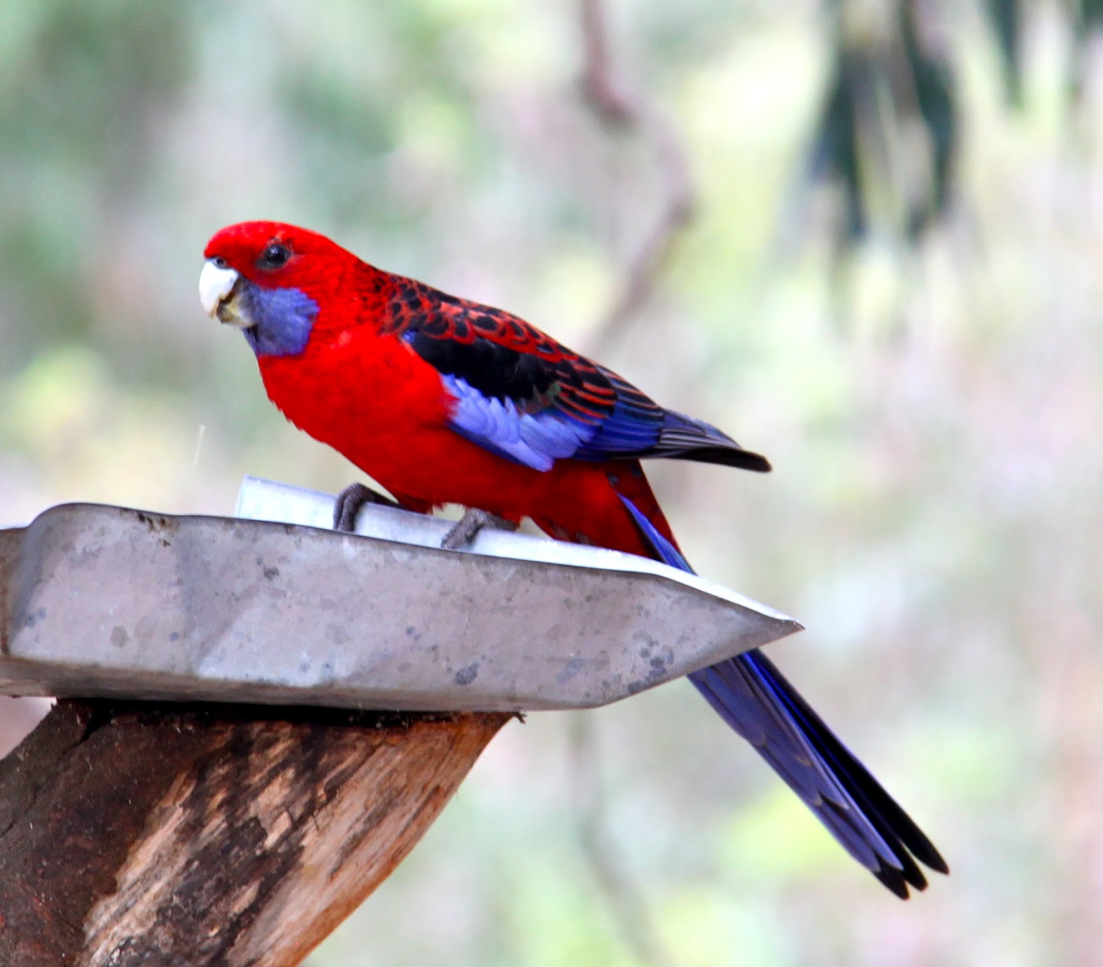
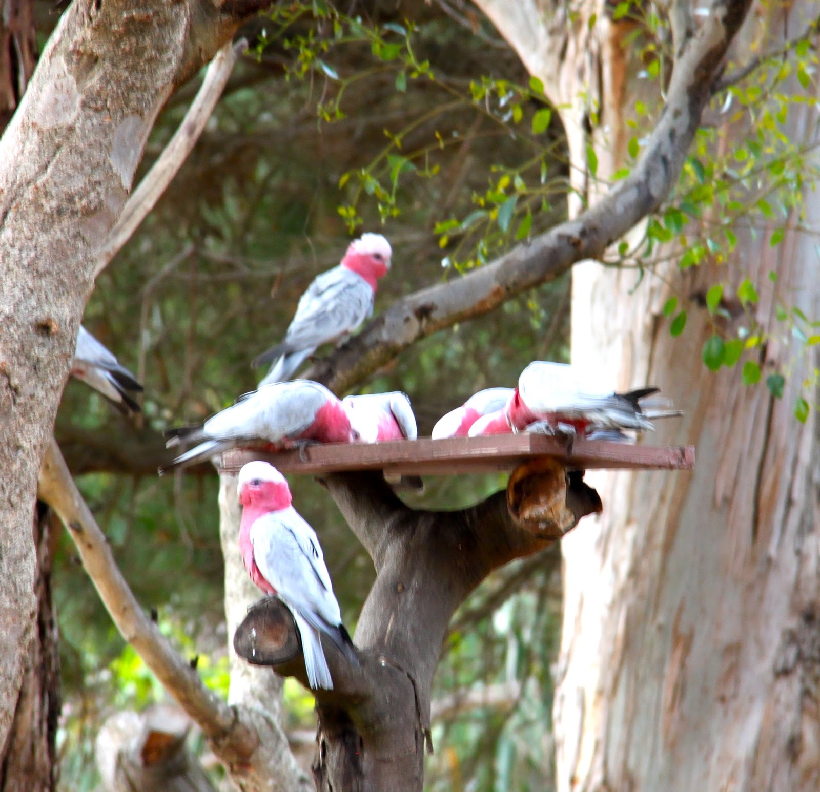
There are many varieties of plants found only on Lord Howe.
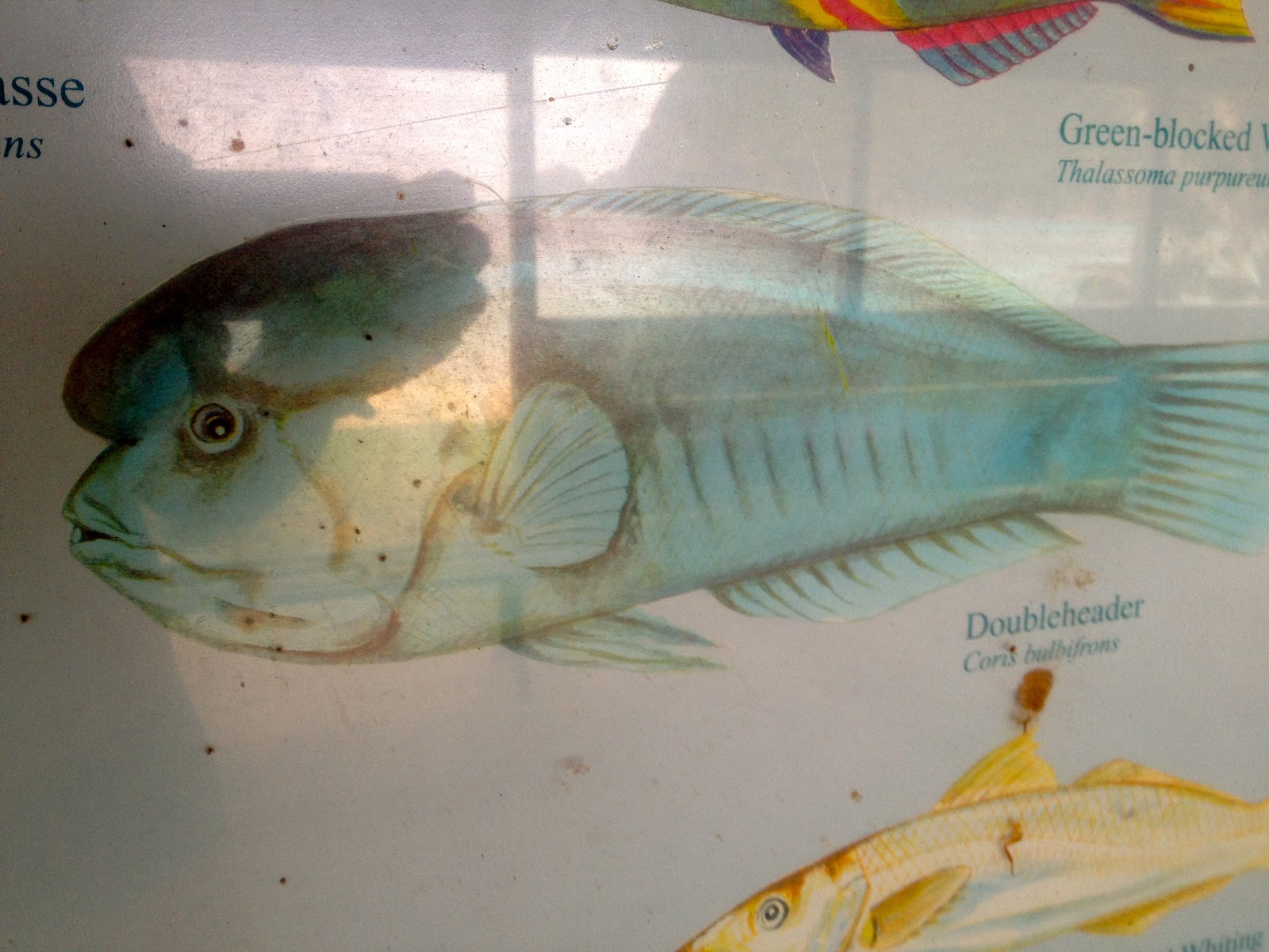
The Doubleheader fish is only found around the reefs at Lord Howe.
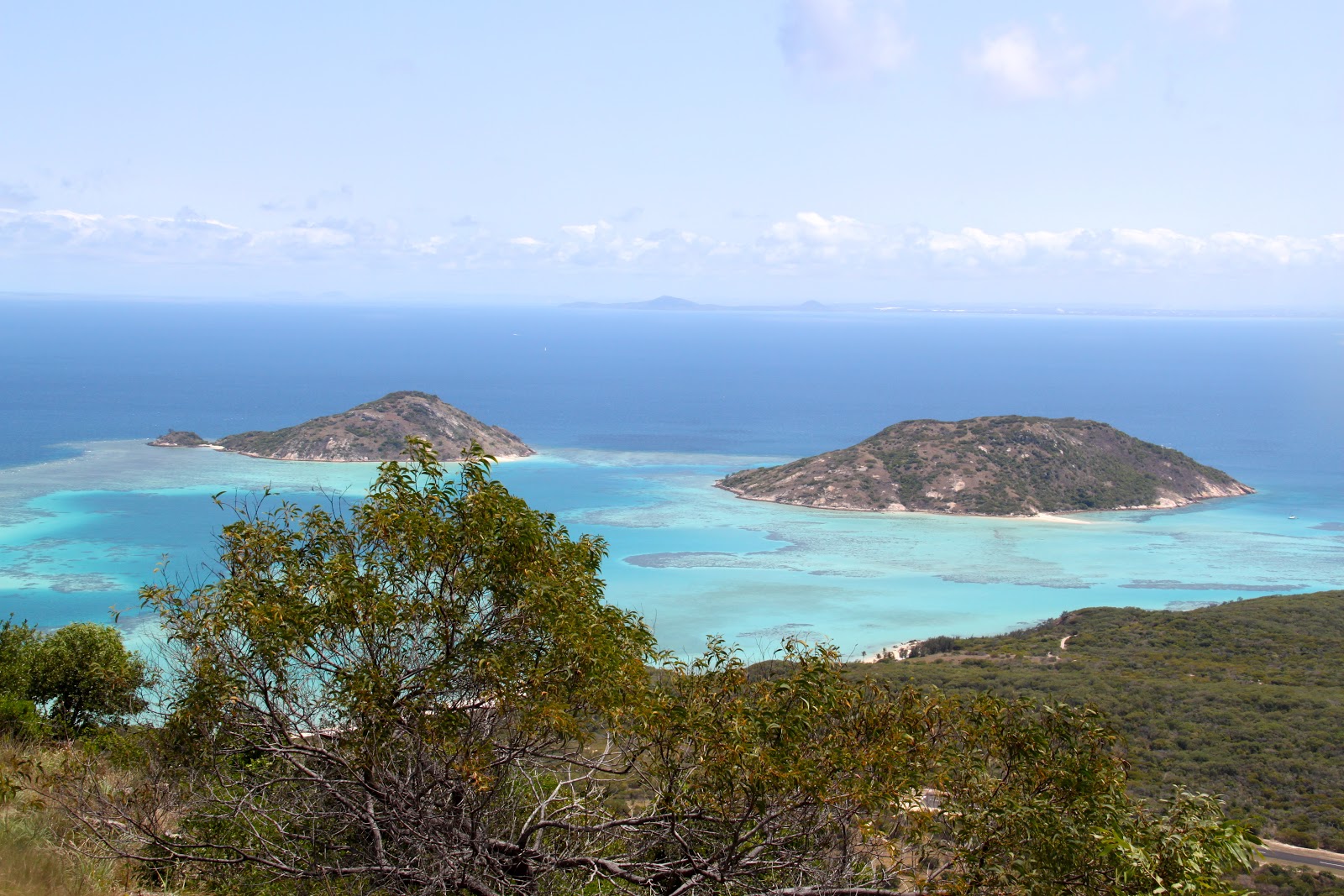
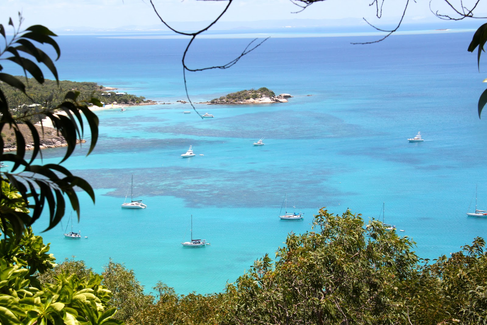
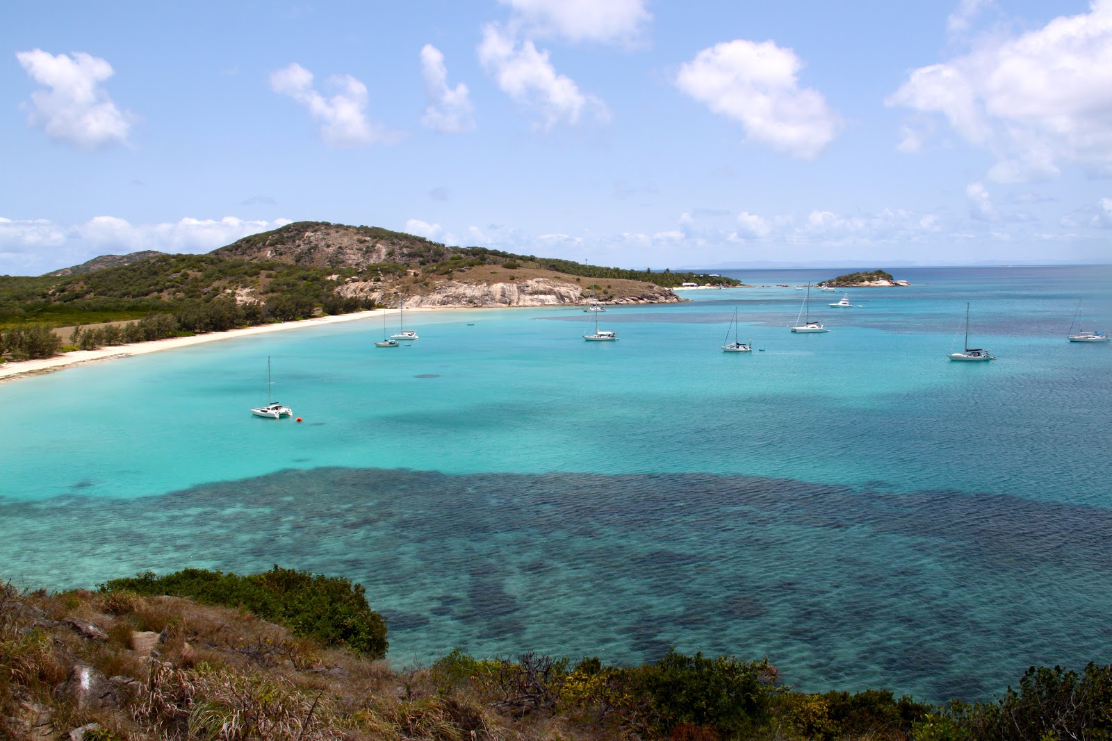
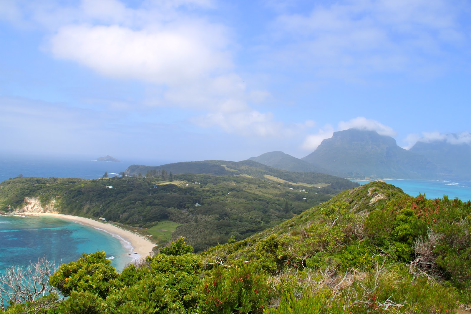
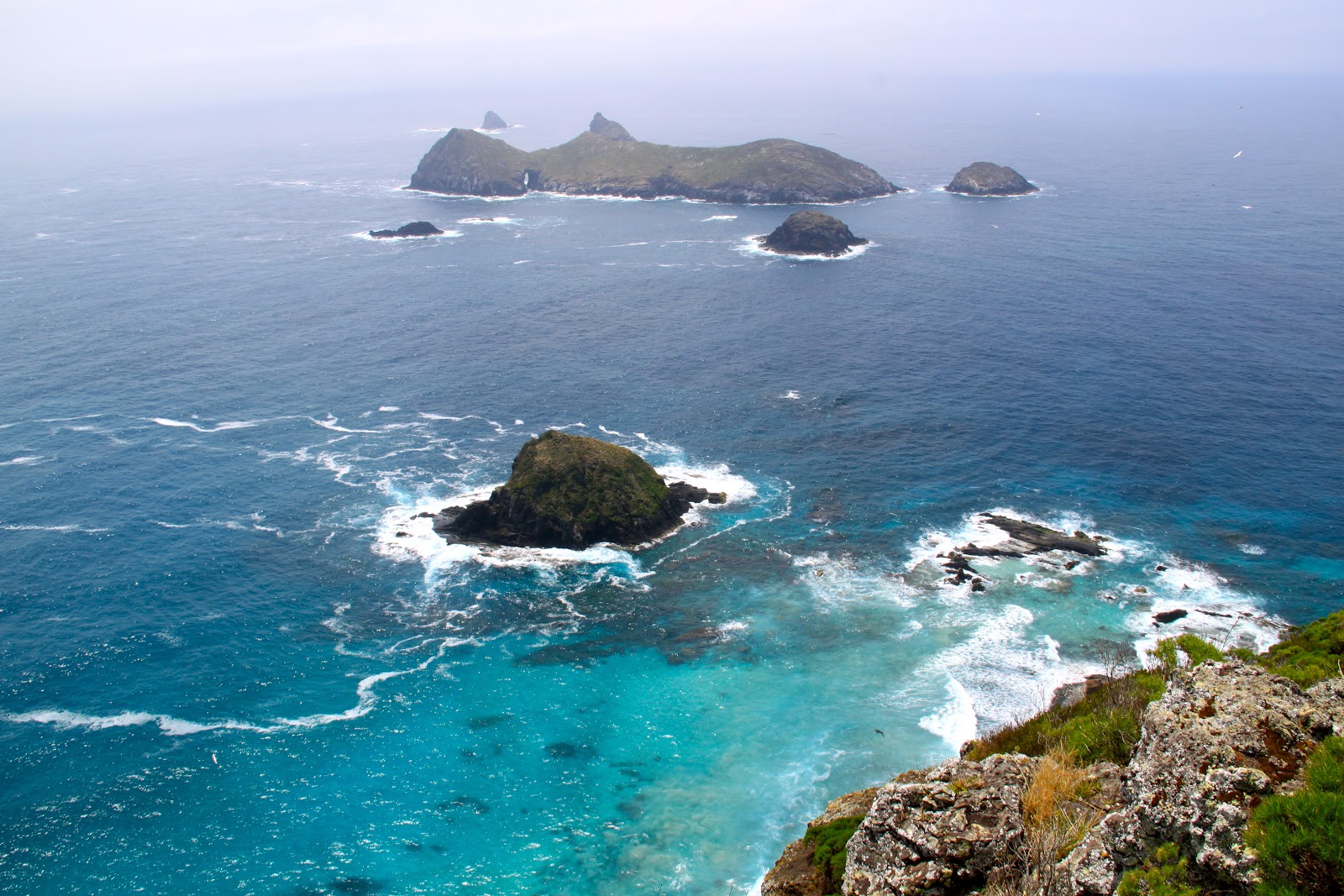
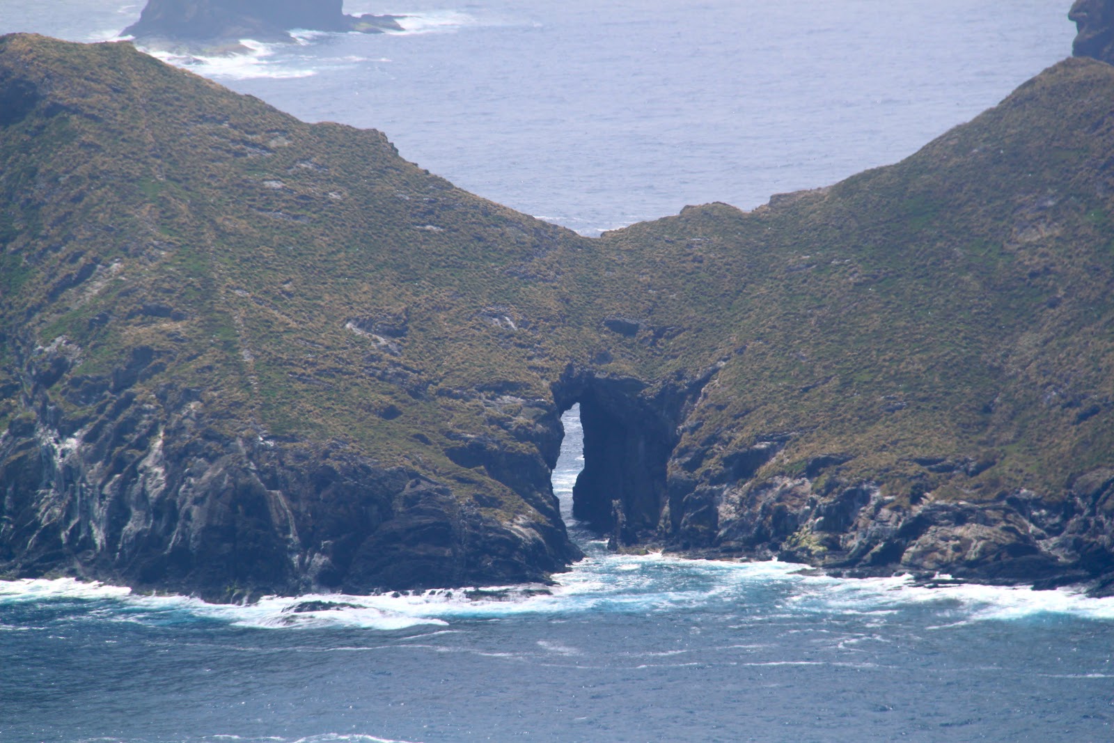
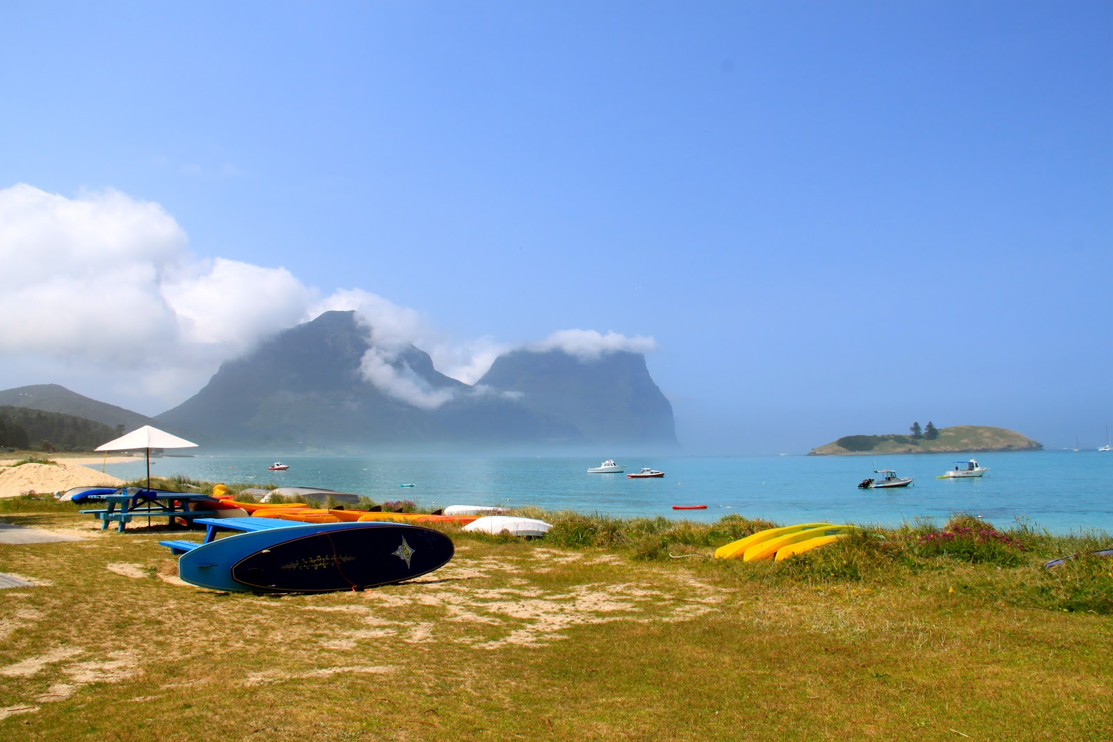
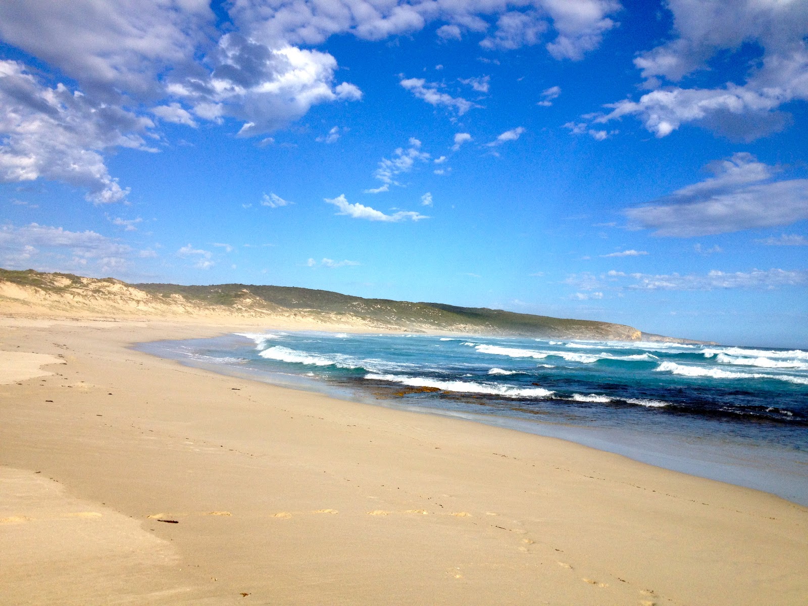
There are many smaller islands surrounding Lord Howe that are all uninhabited and add to the pristine beauty.
 |
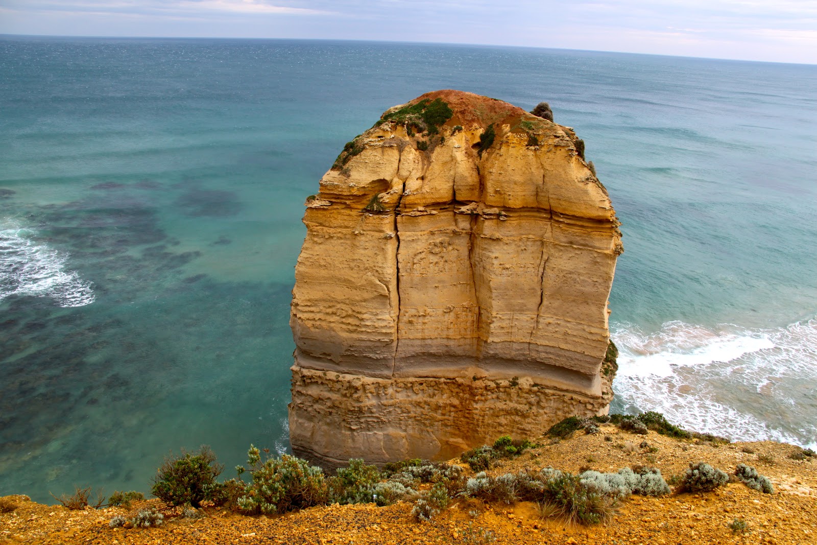
| Beautiful Island |
 |
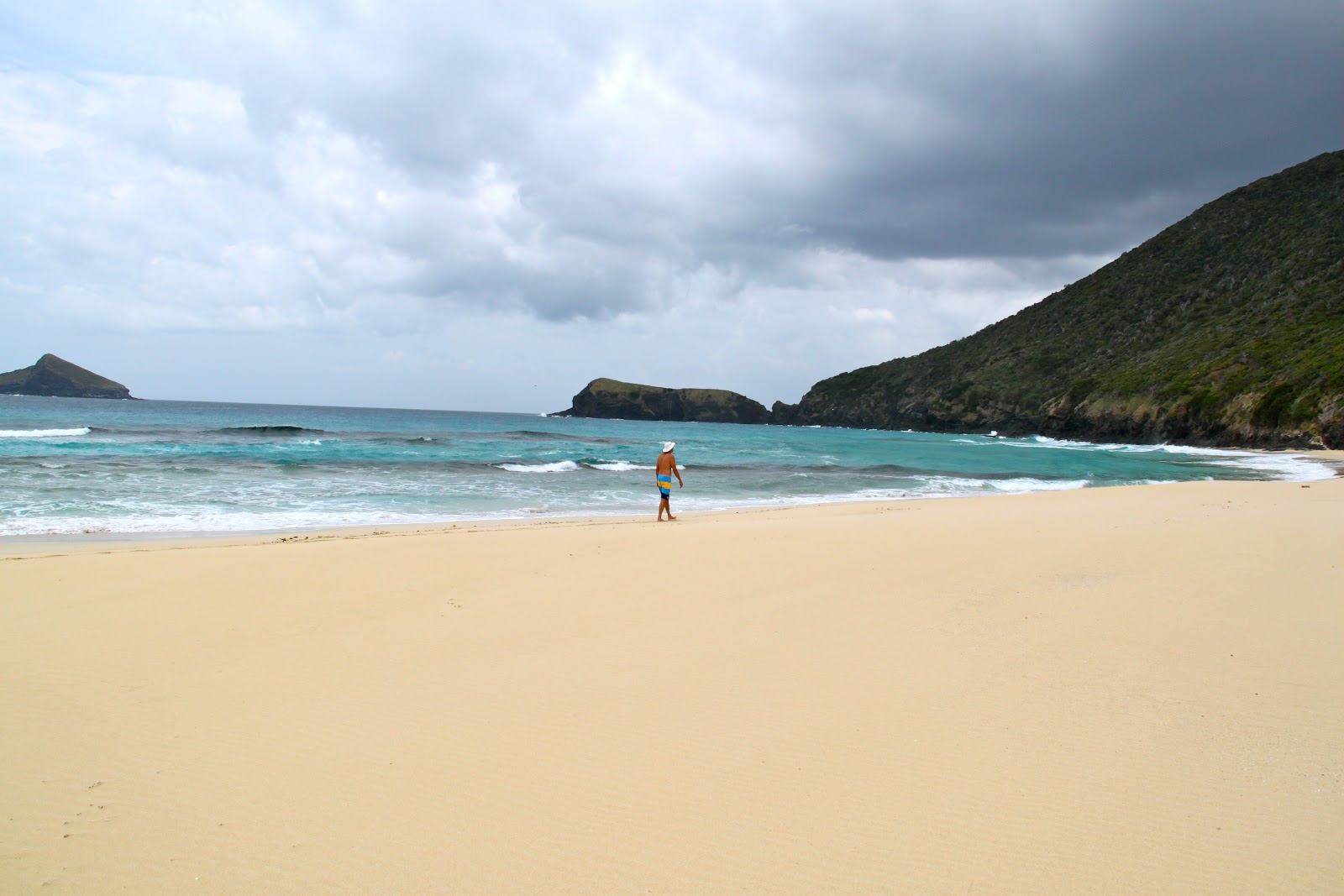
| When we flew in we couldn’t see the mountain at the end of the island. It was too foggy. |
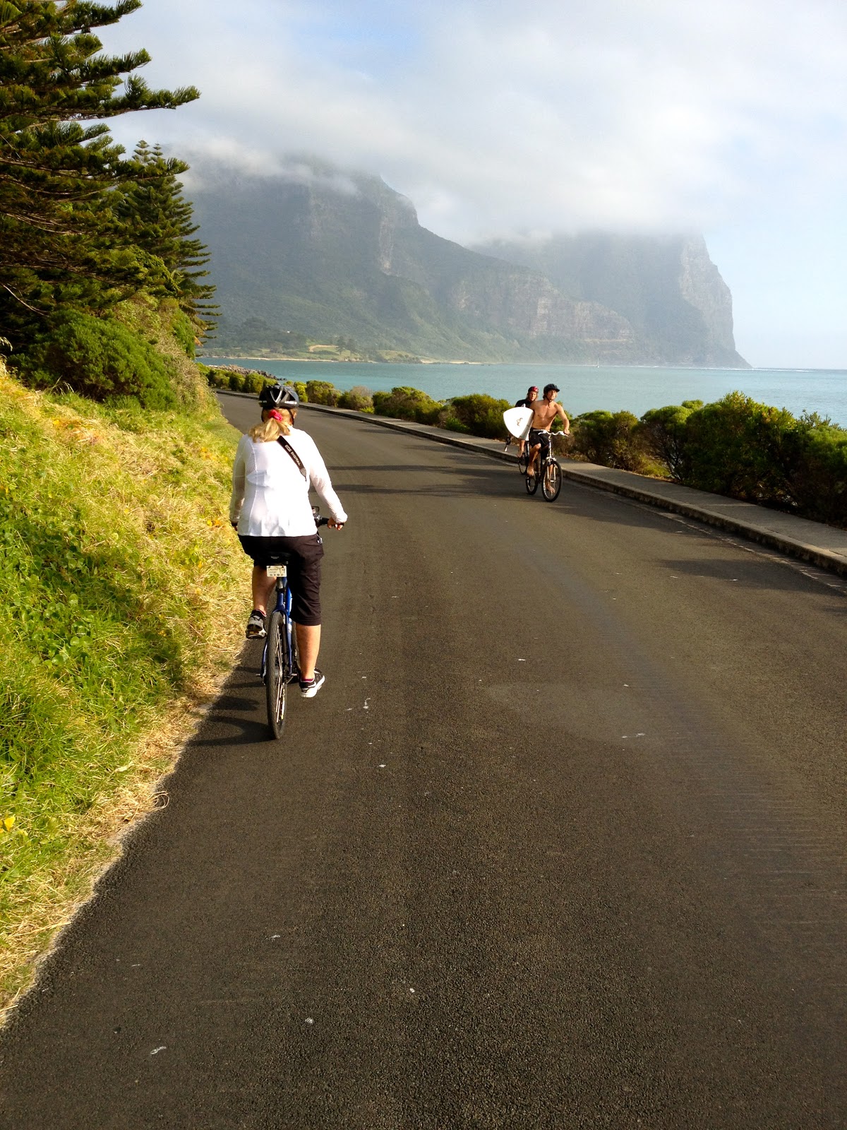
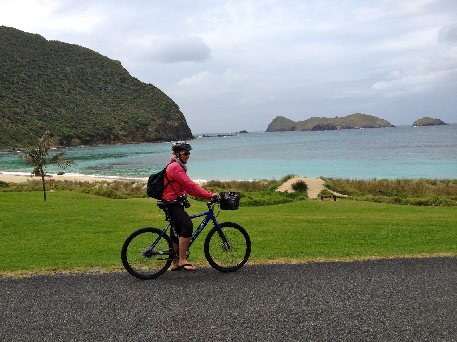
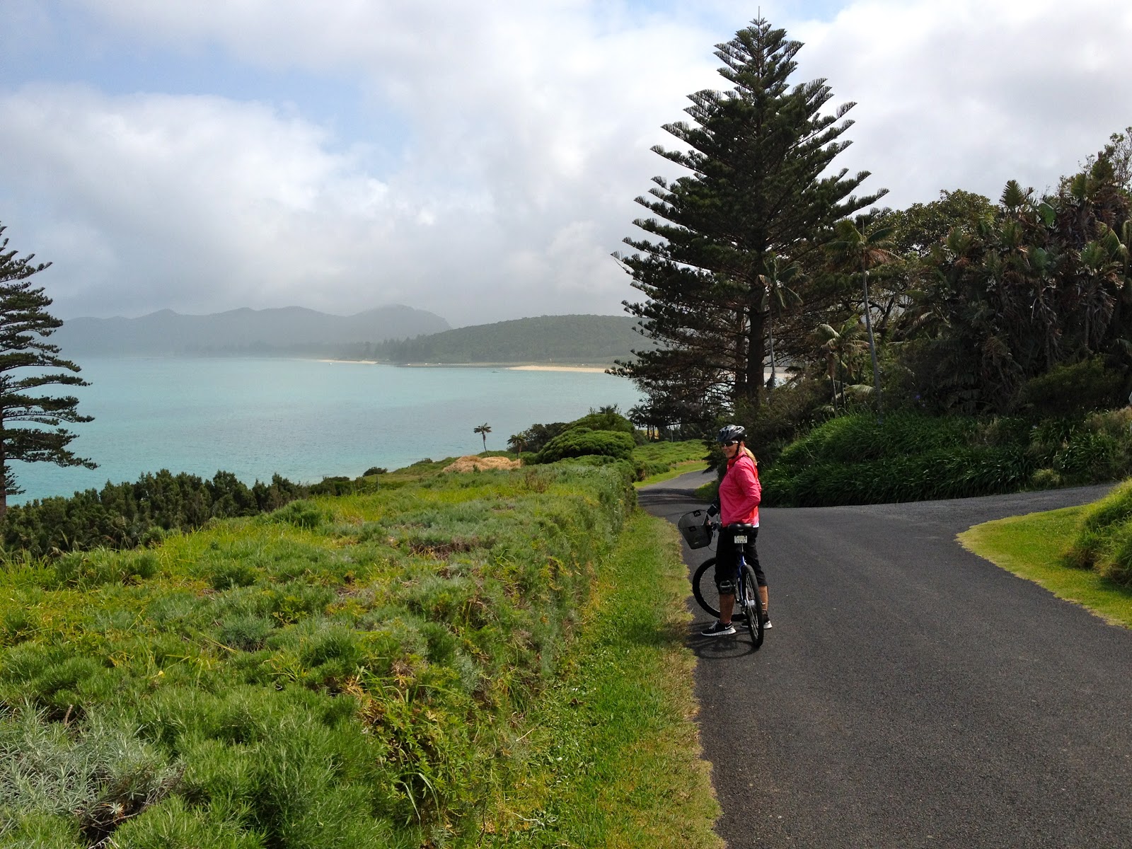
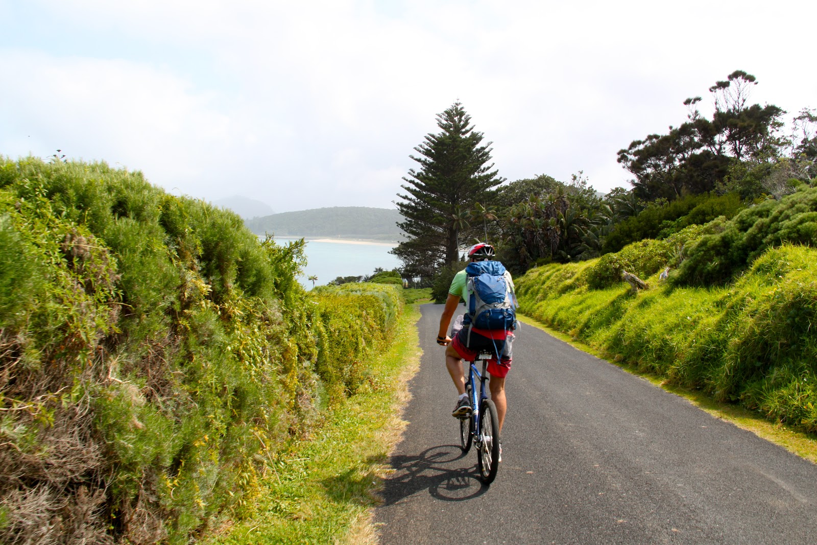
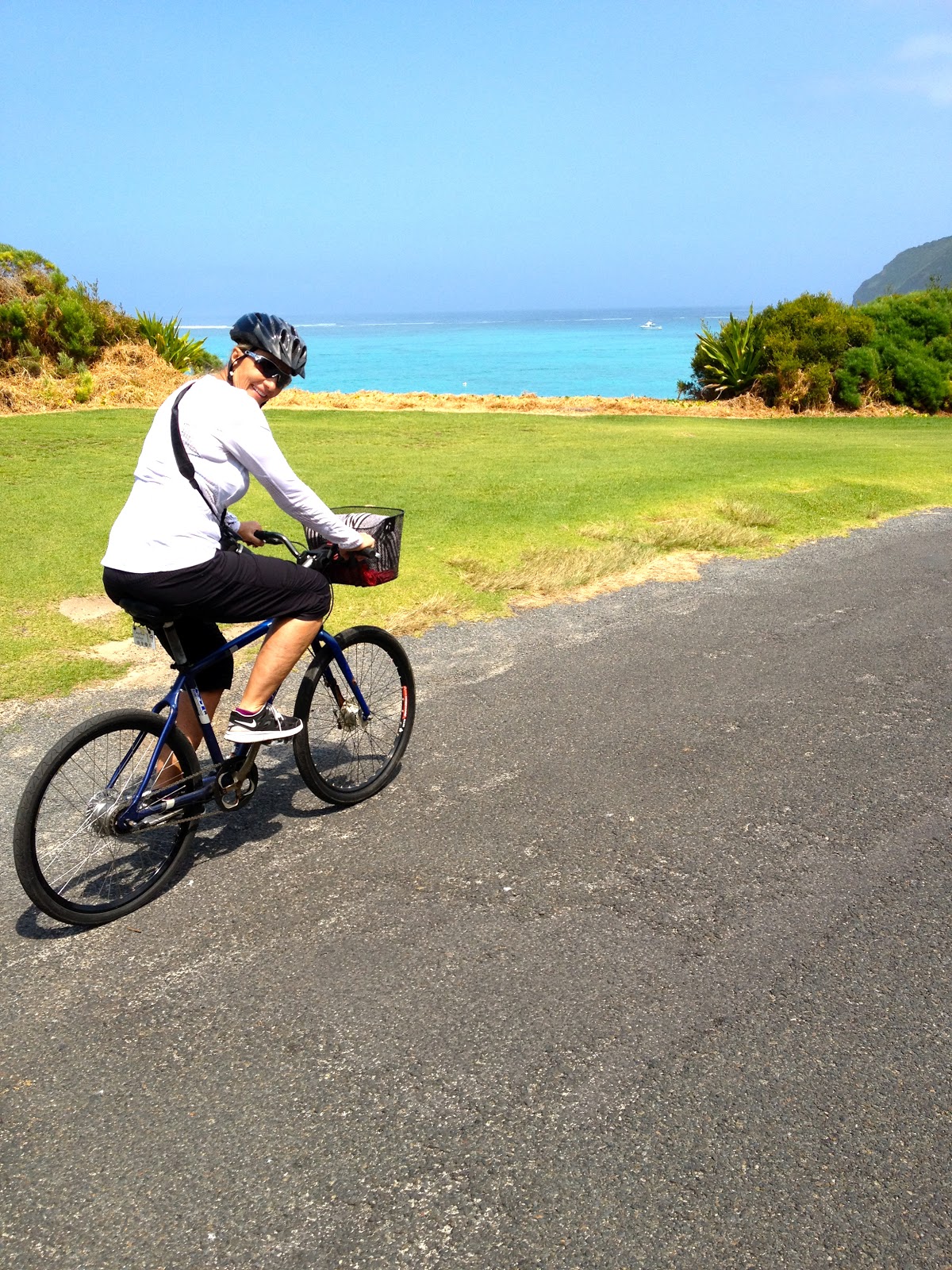
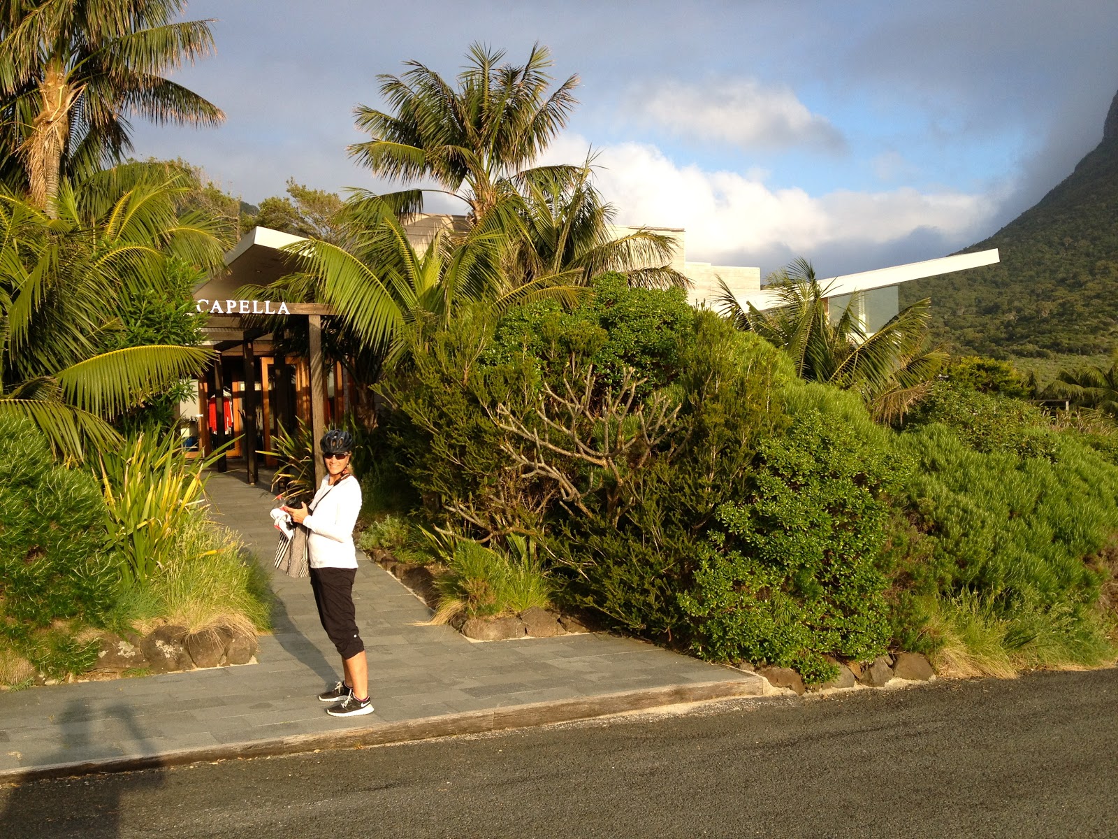
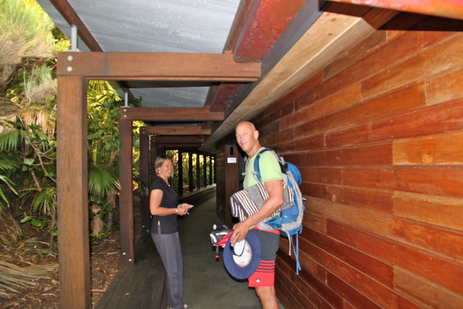
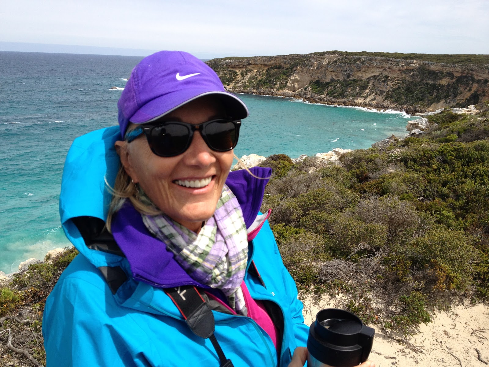
The clouds thinned out and we were able to land and it is a beautiful day. Since our room was not ready we changed into our swim suits and were outfitted for our bicycles which will be our mode of transportation during our stay.
 |
| Remember to drive on the wrong side of the road! |
 |
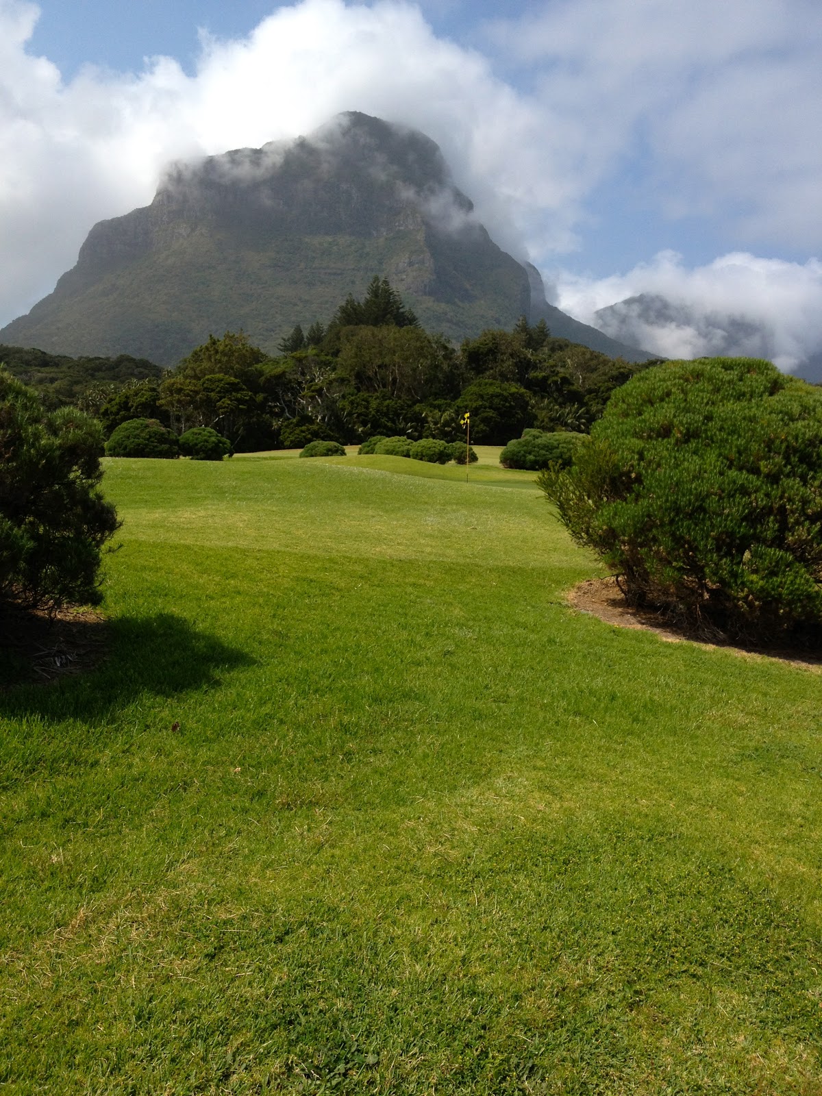
| We rode past the 9 hole golf course. |
 |
| Breathtaking beauty. It’s hard to watch the road. |
 |
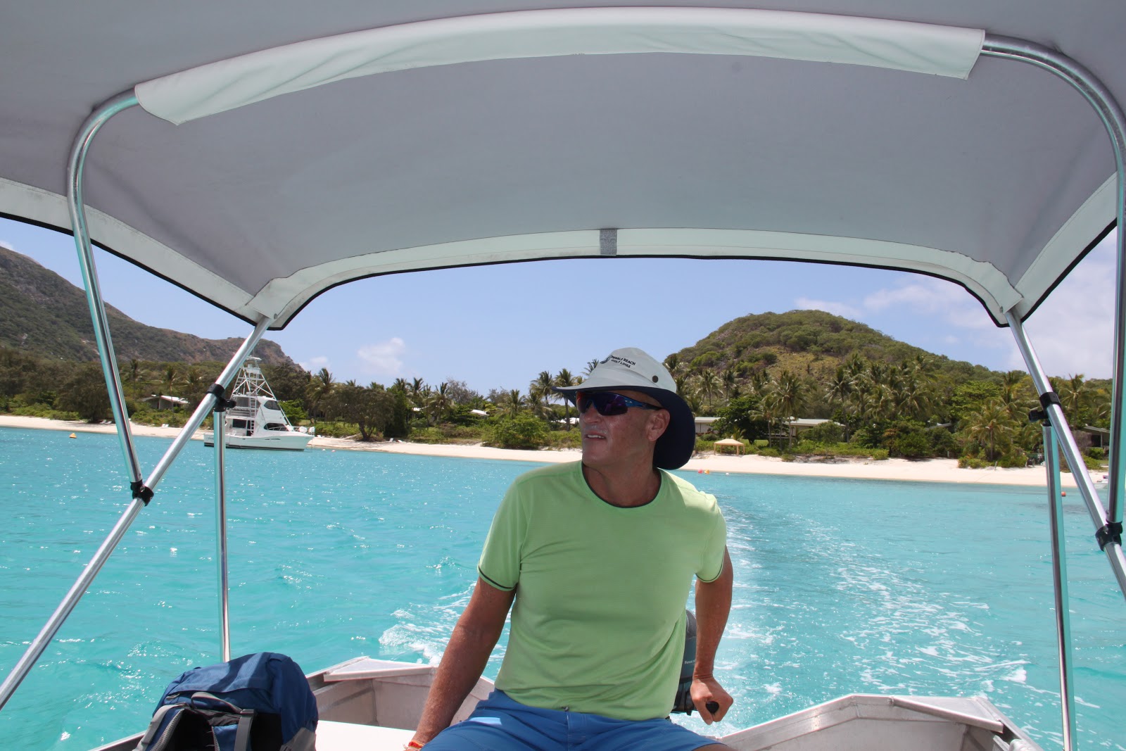
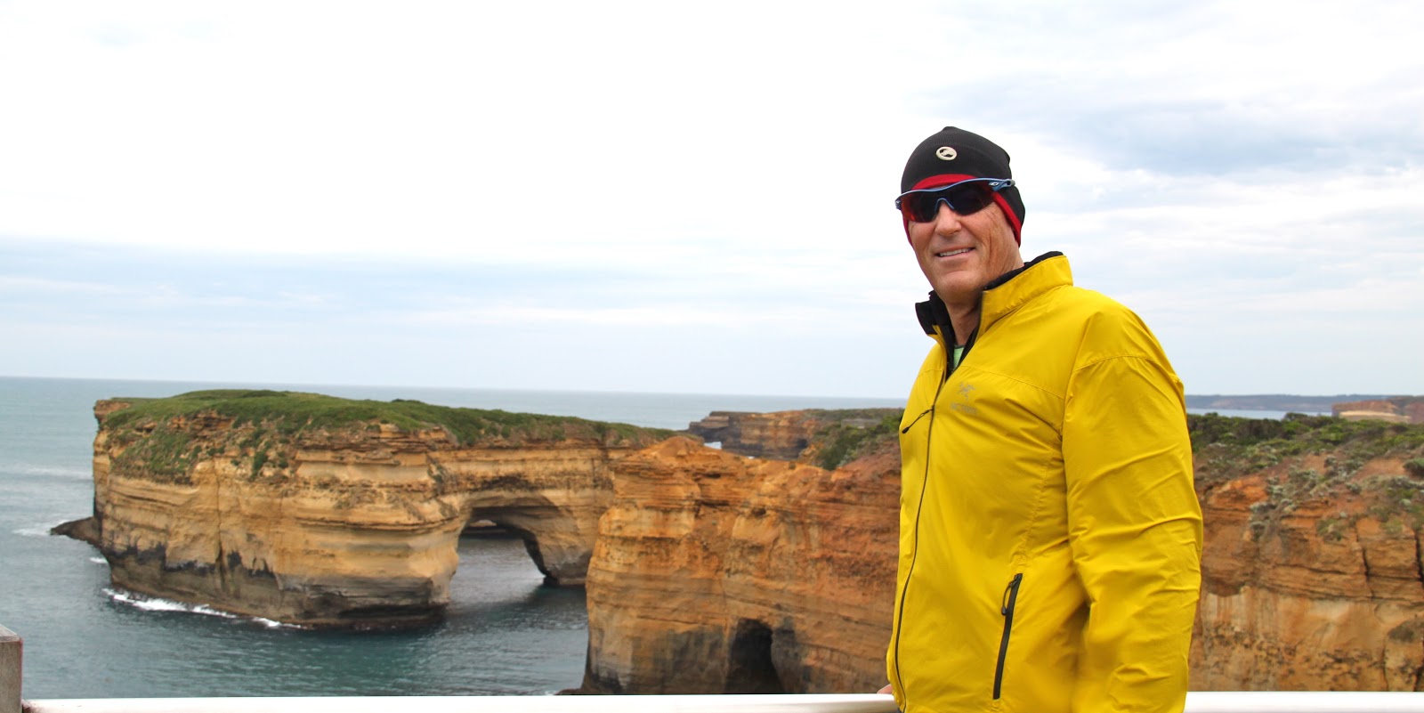
| Scott |
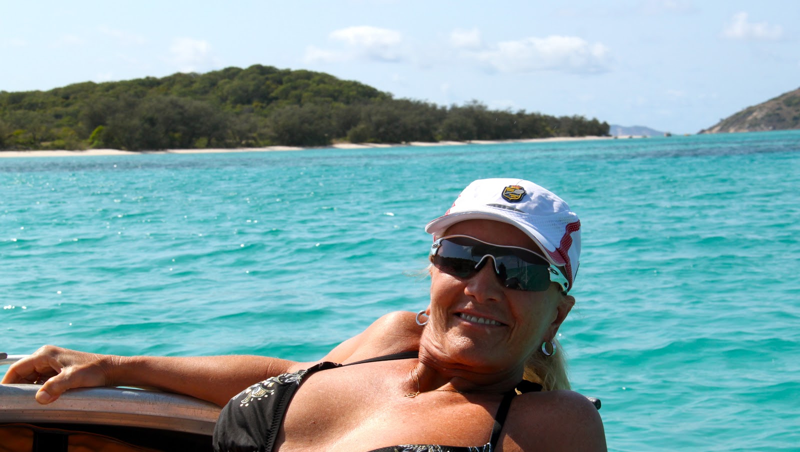
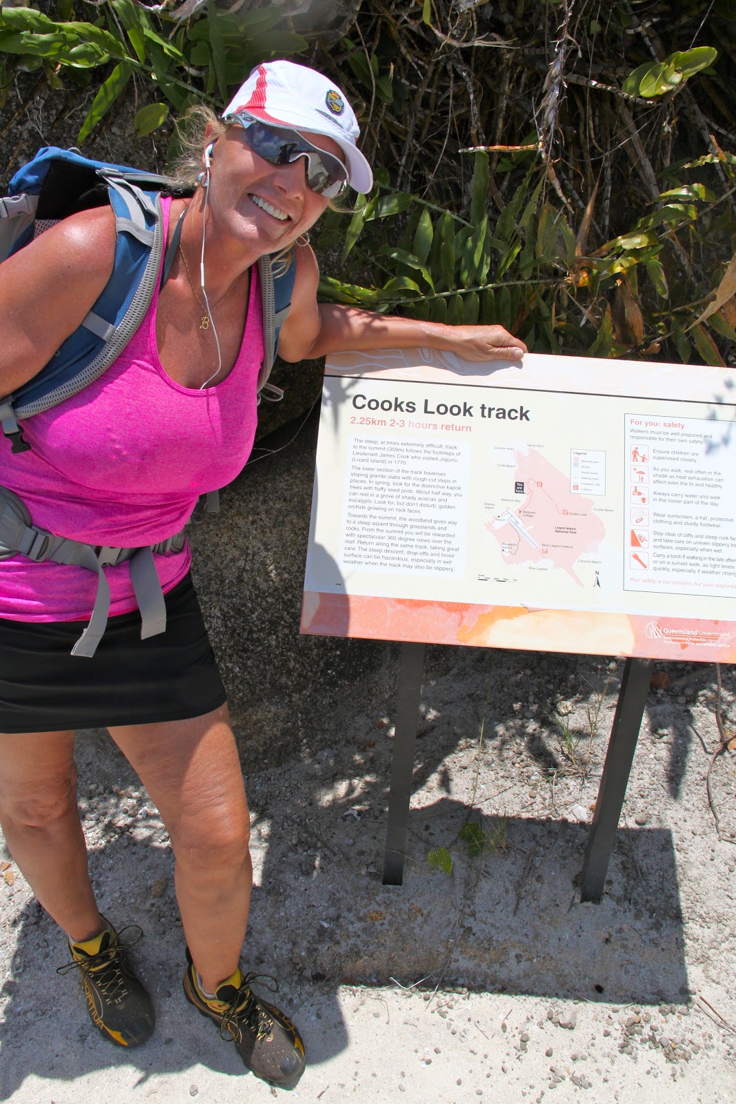
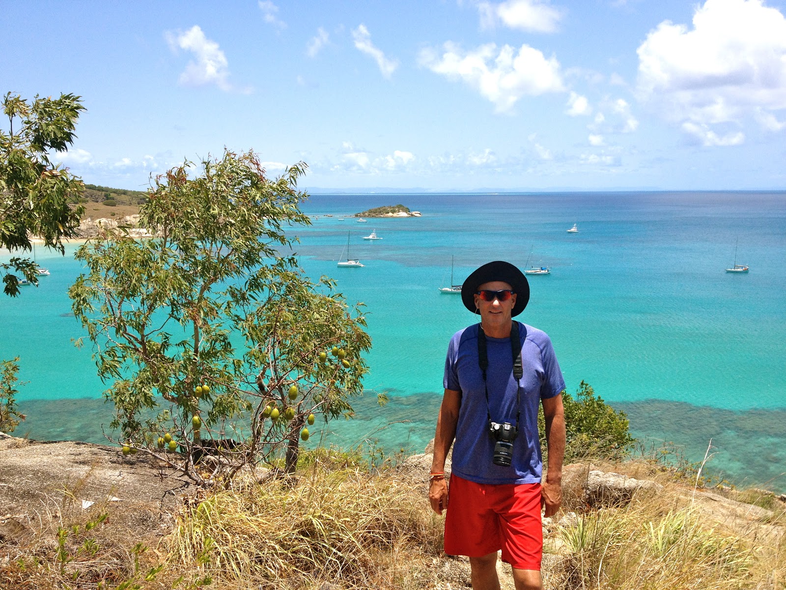
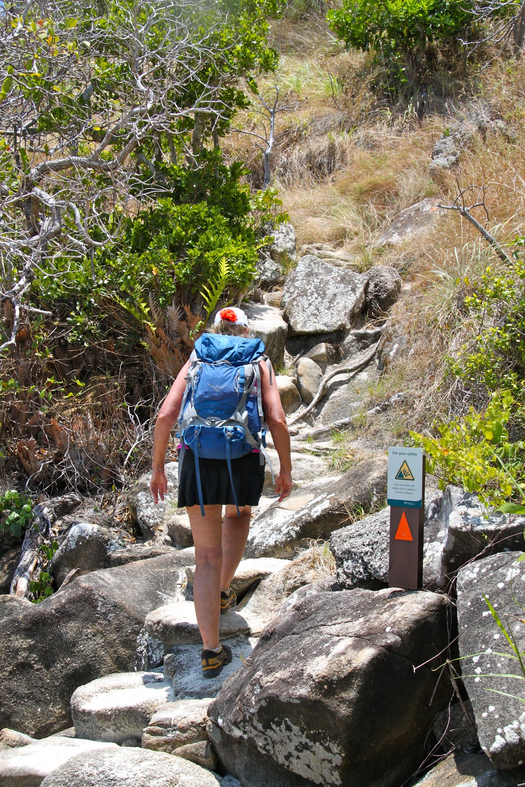
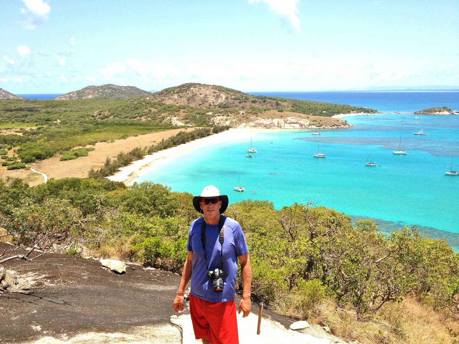
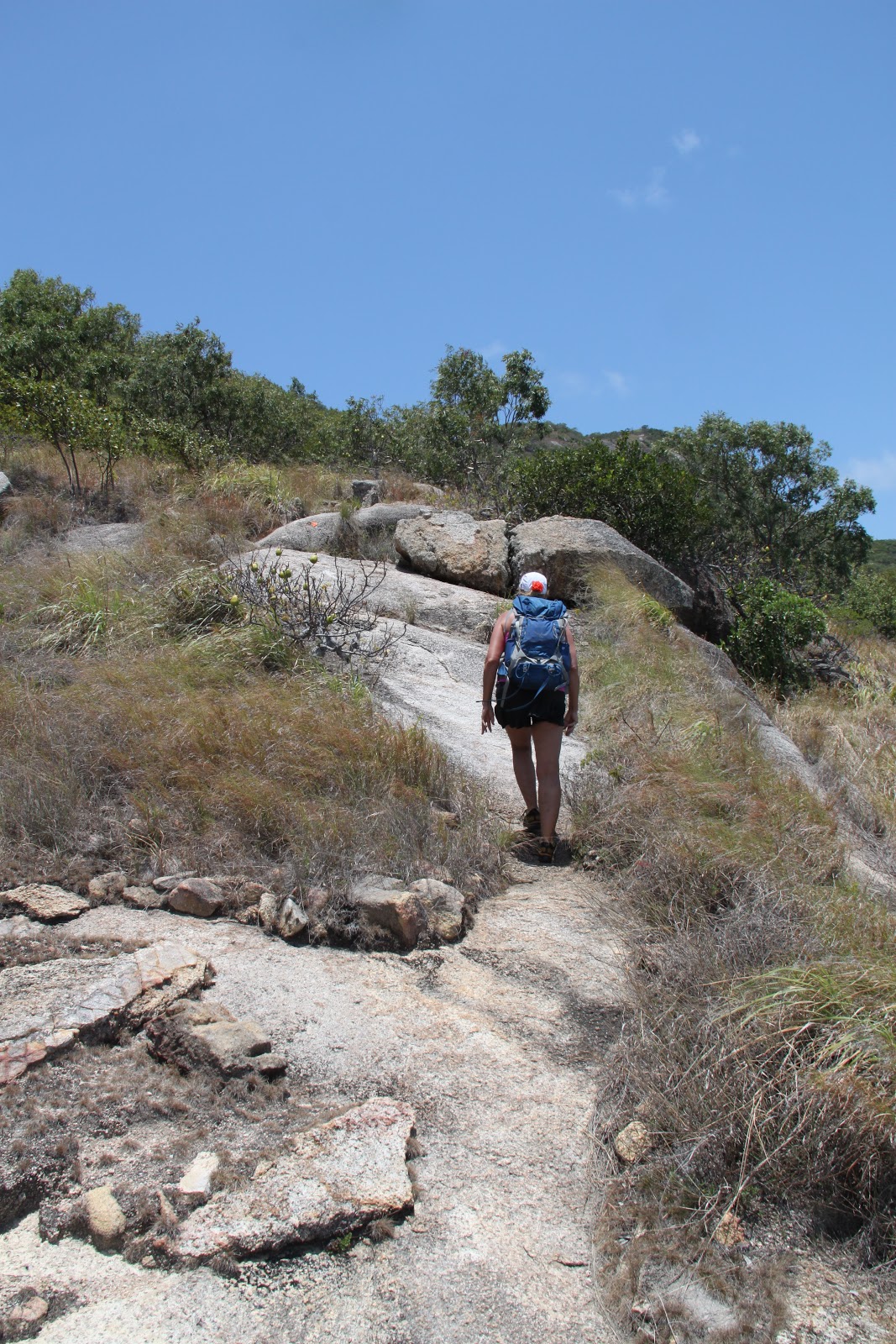
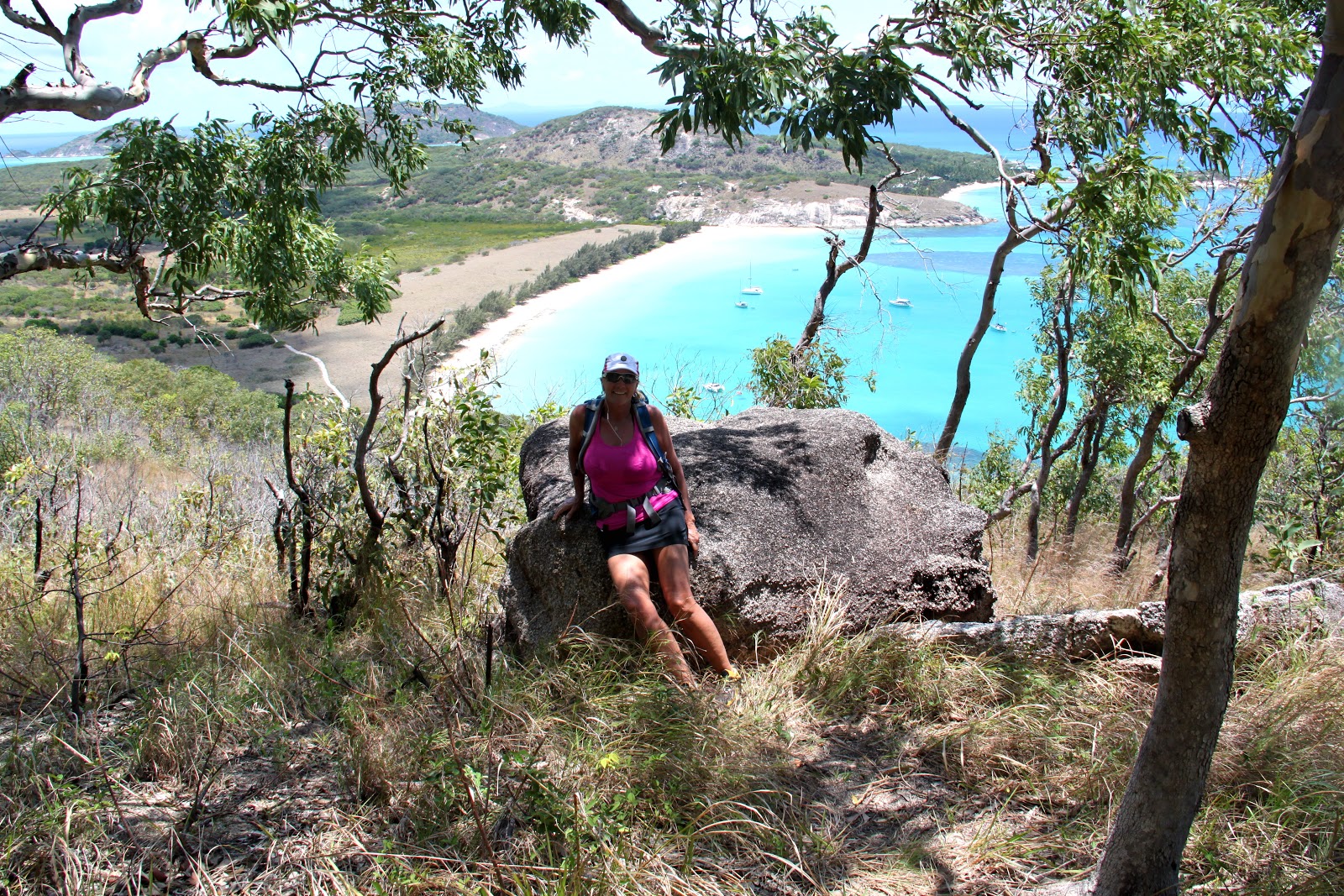
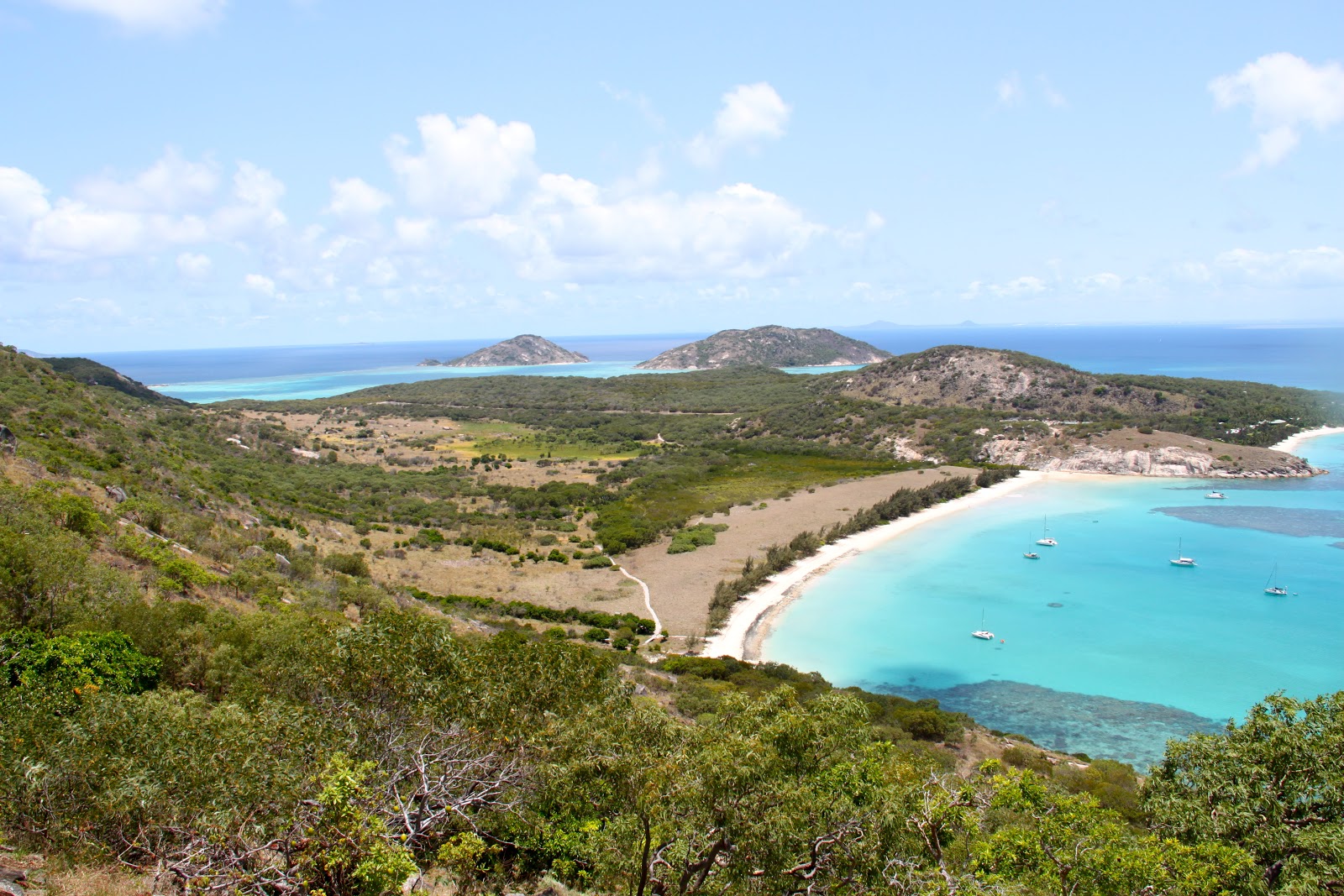
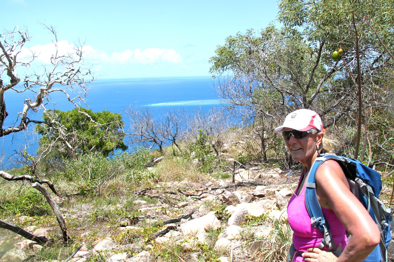
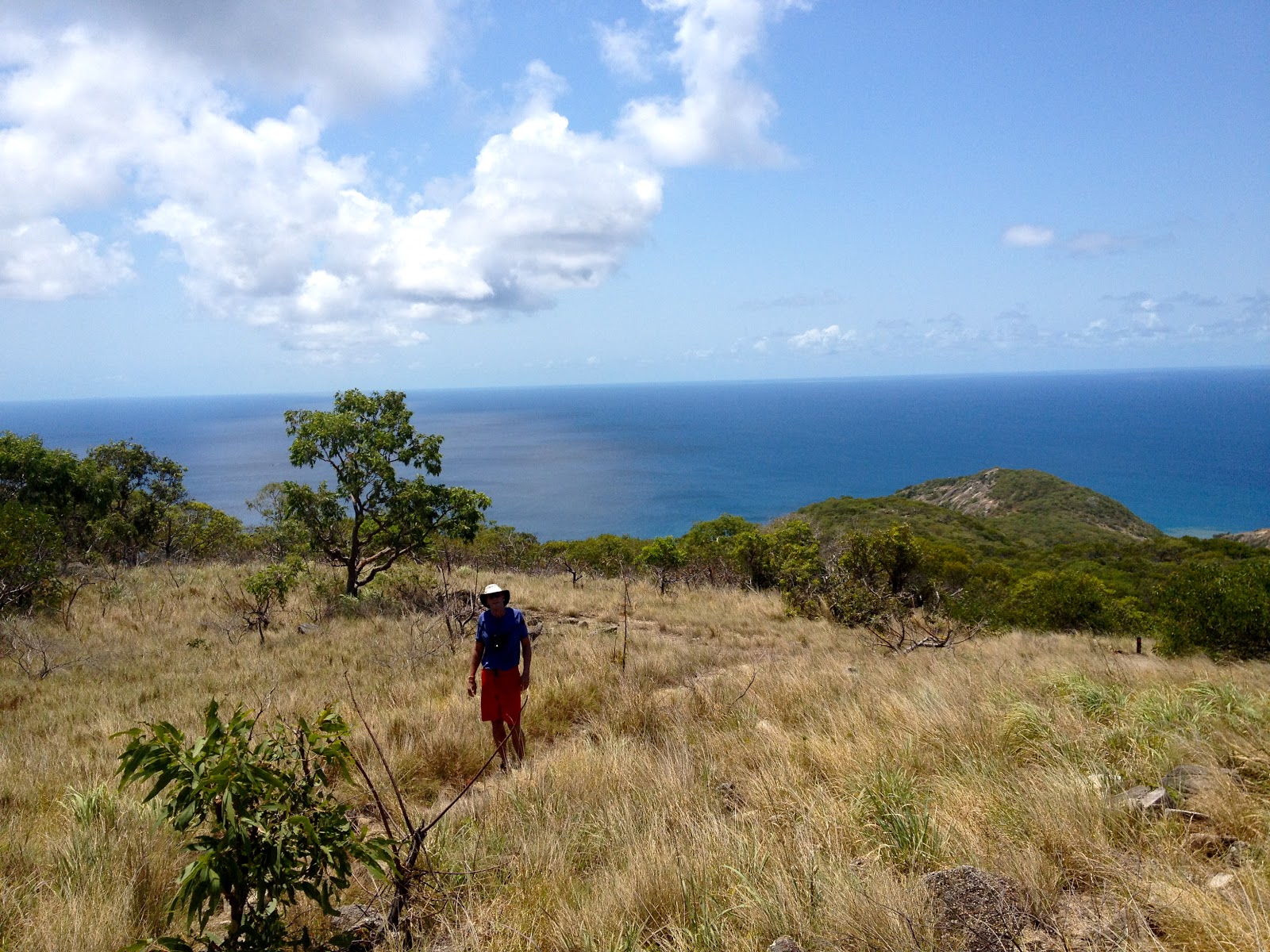
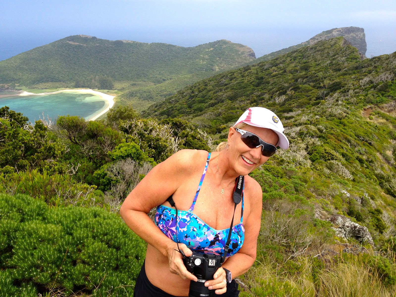
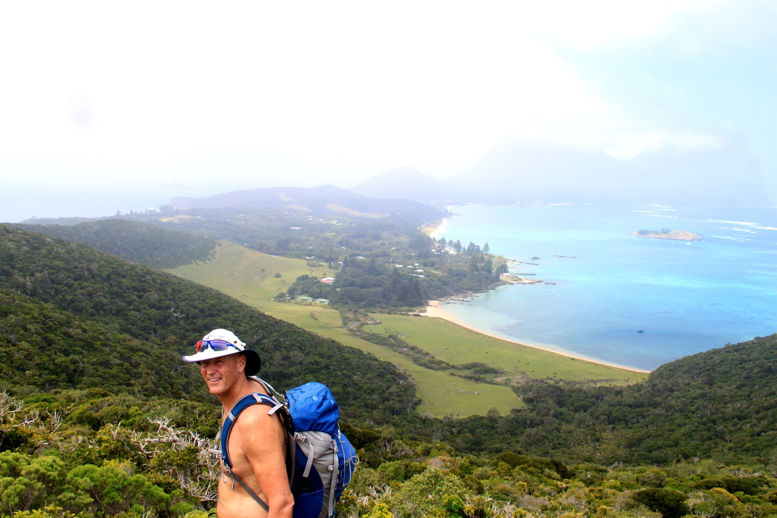
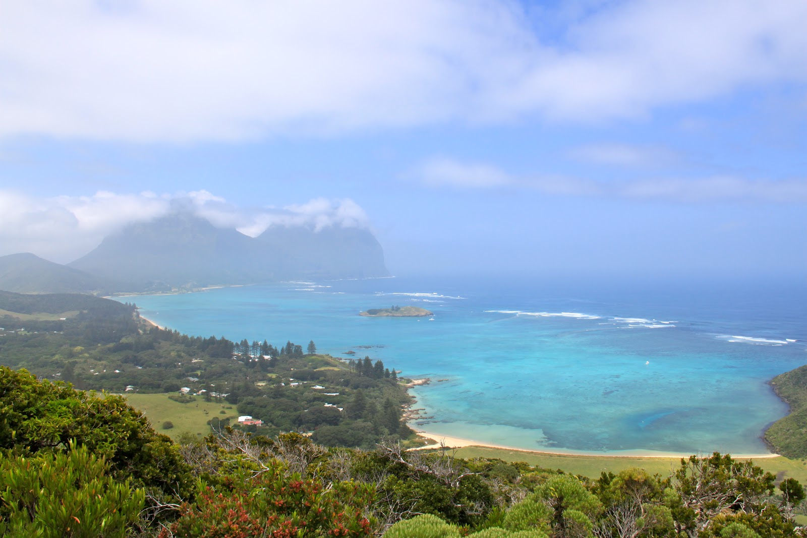
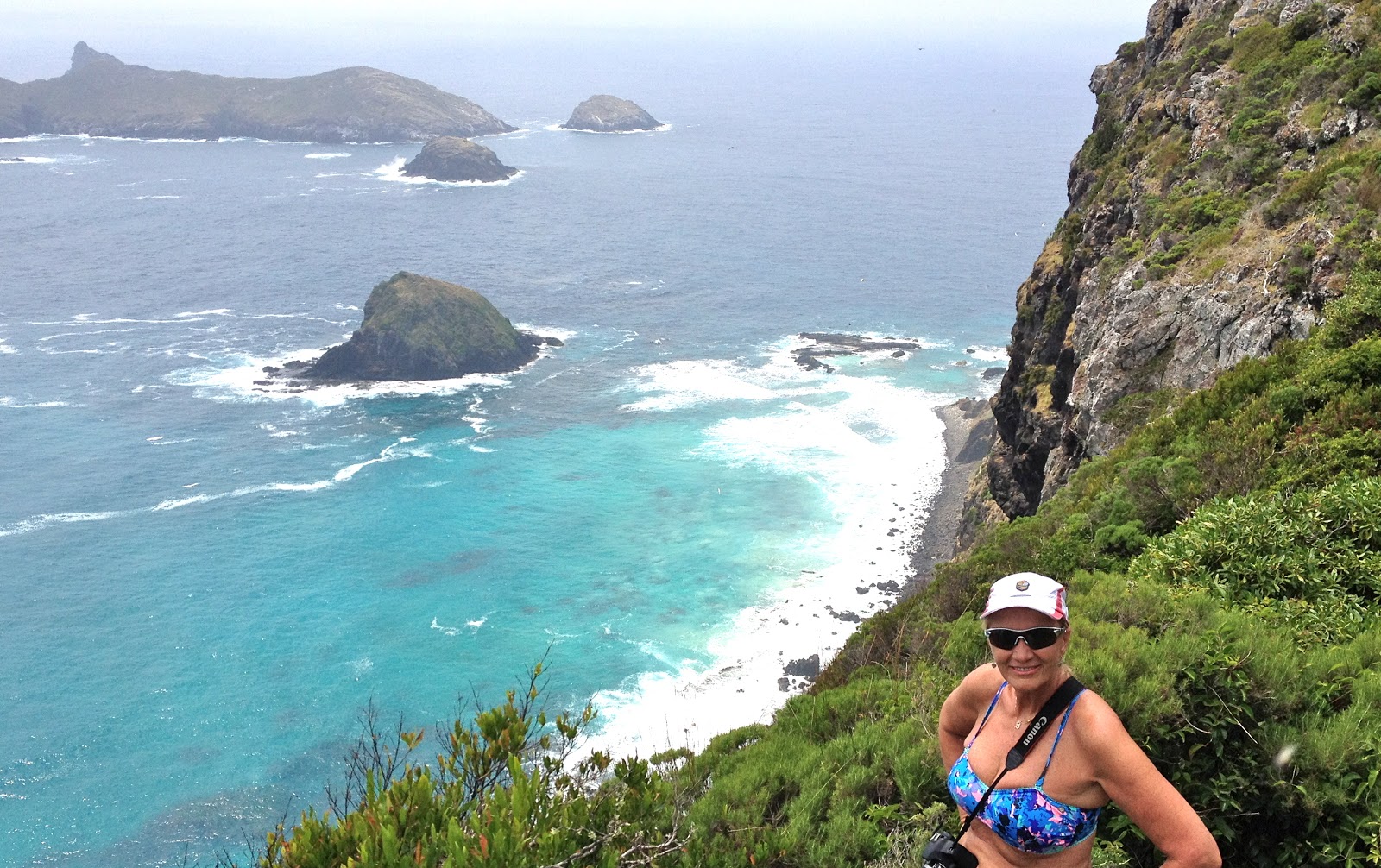
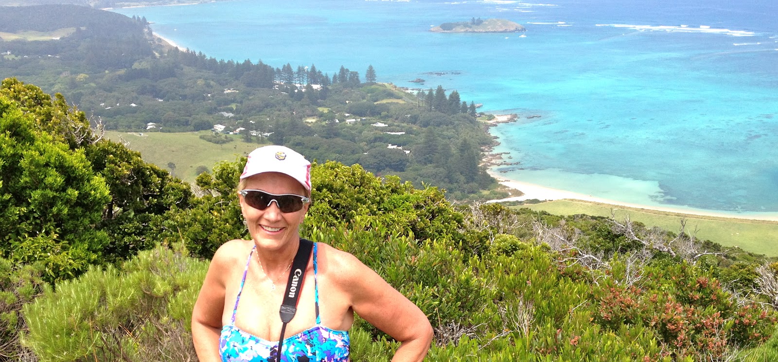
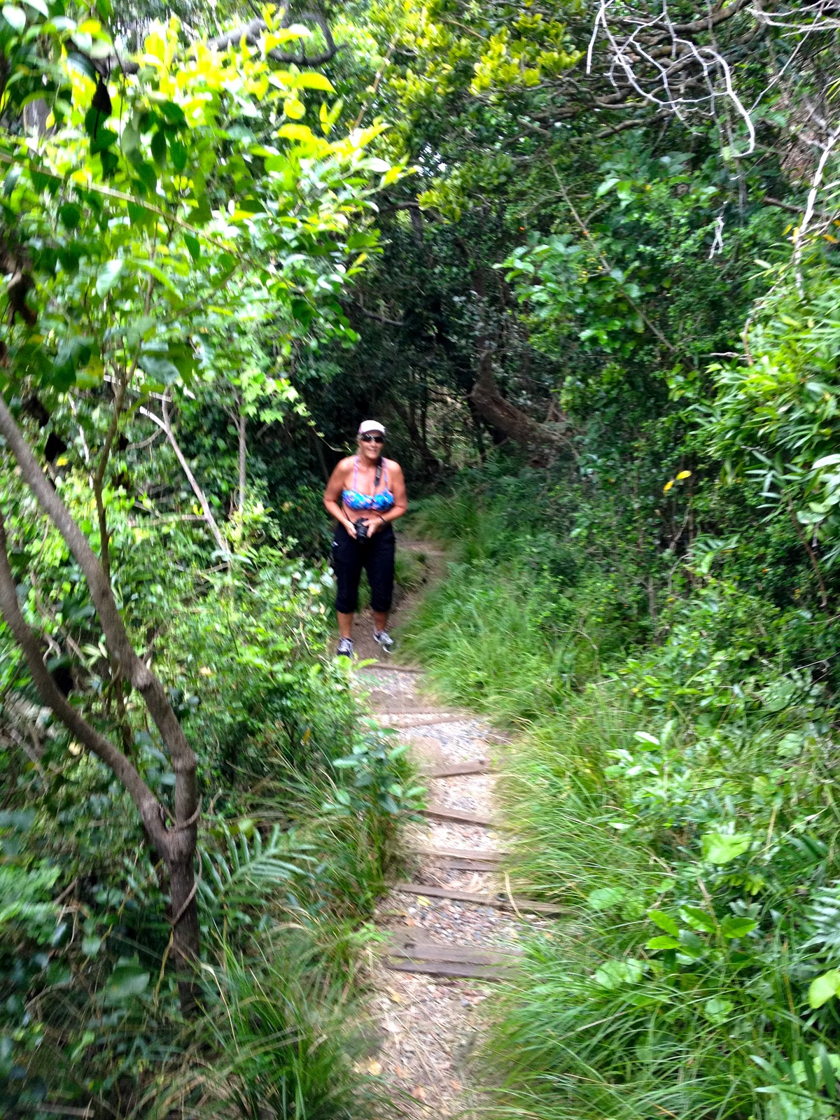
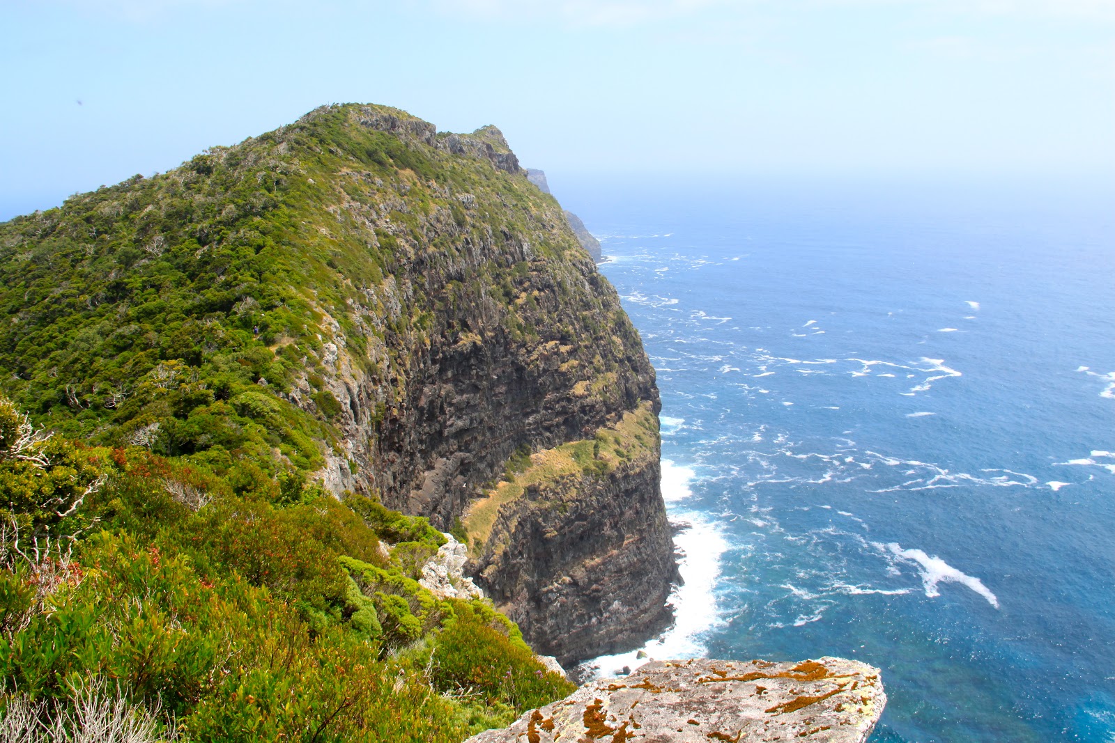
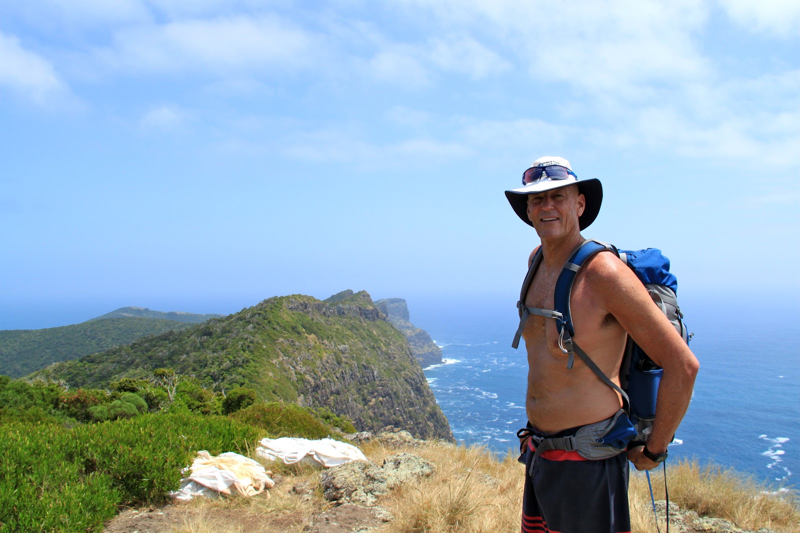
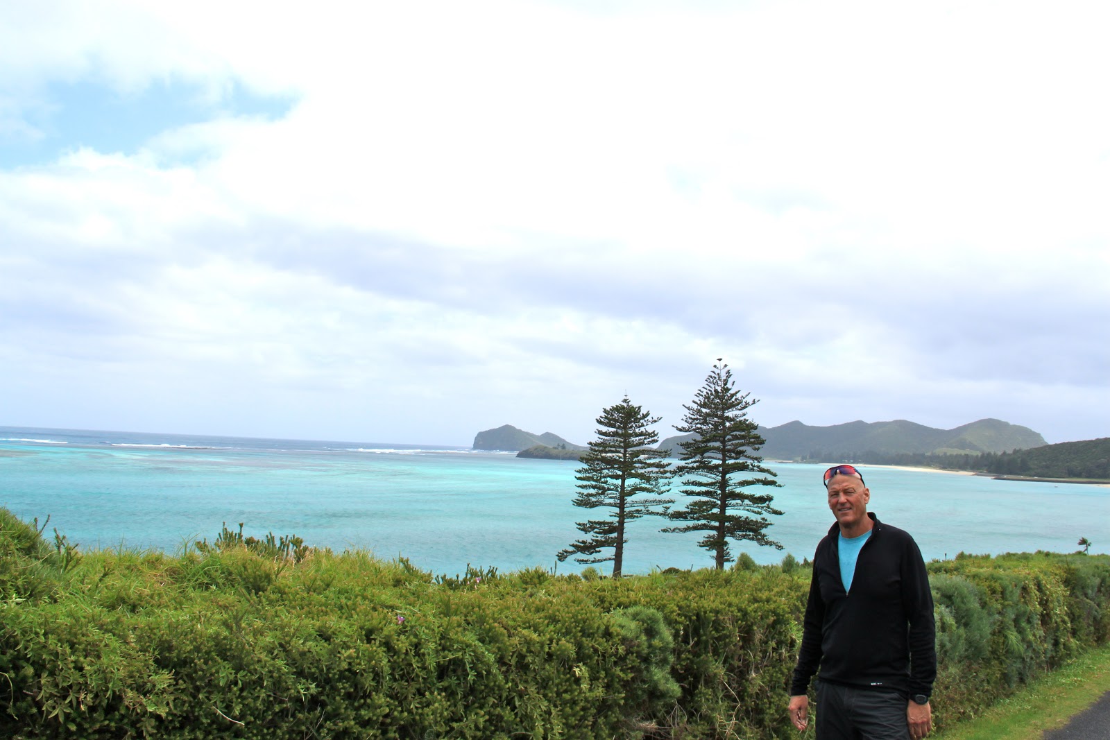
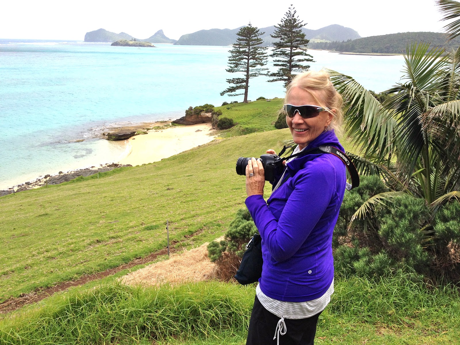
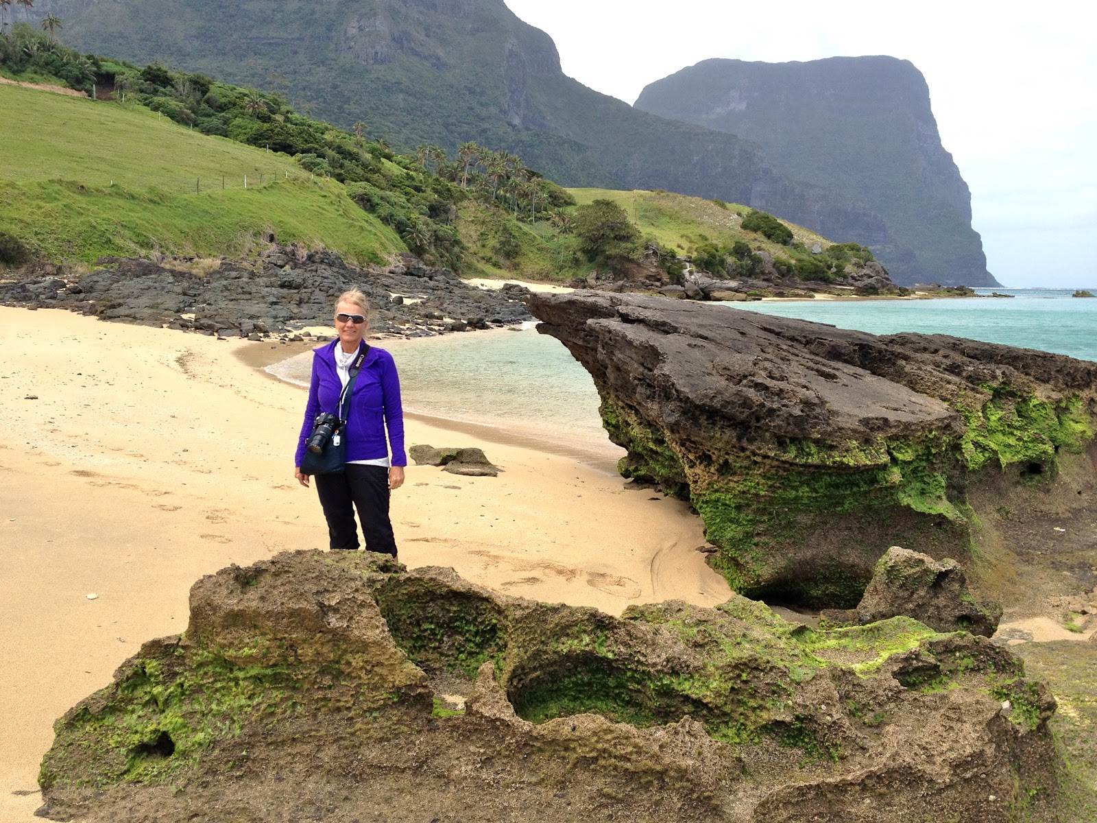
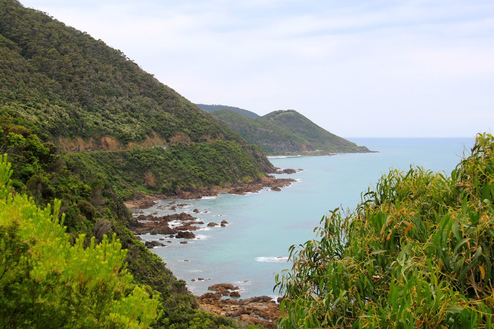
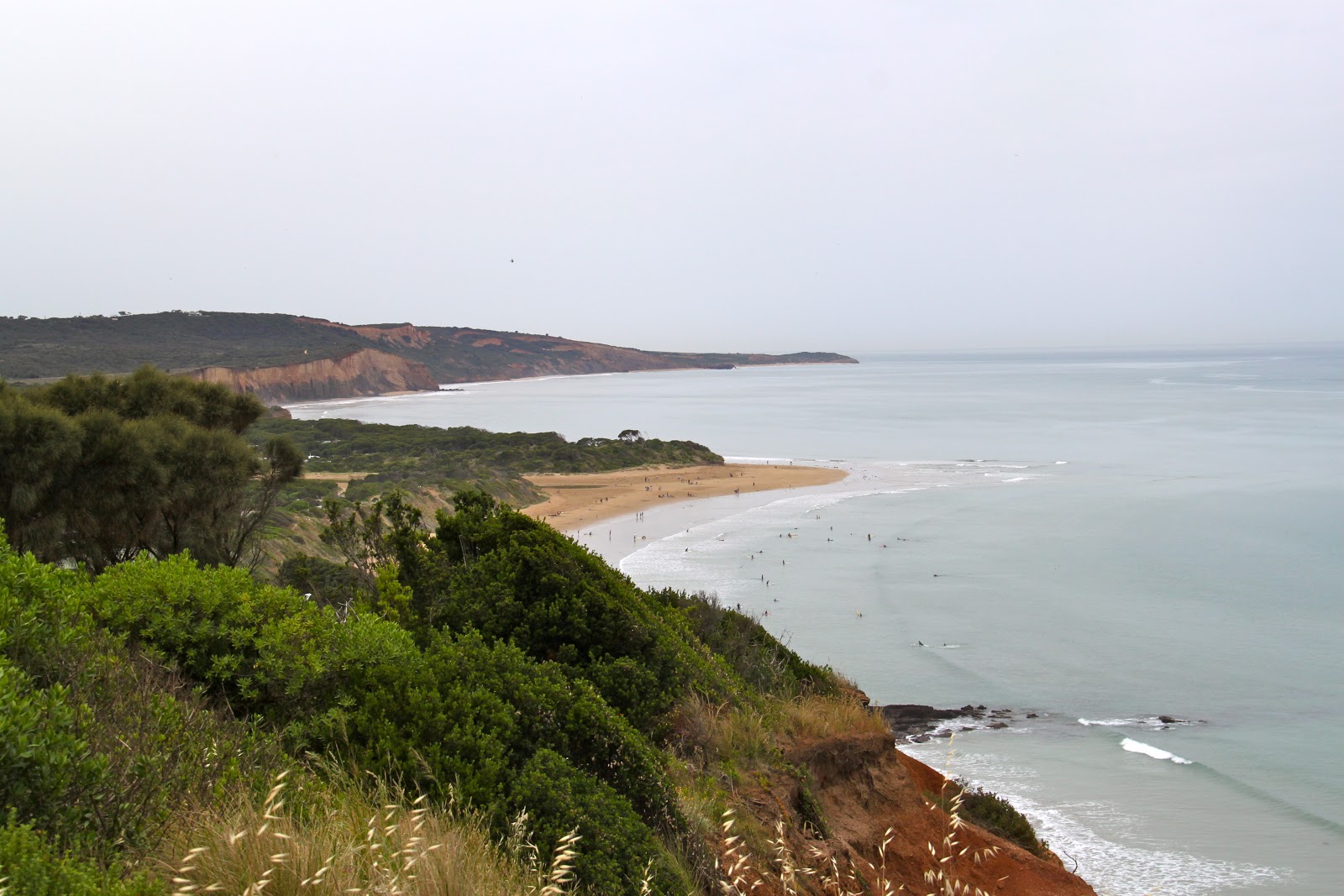
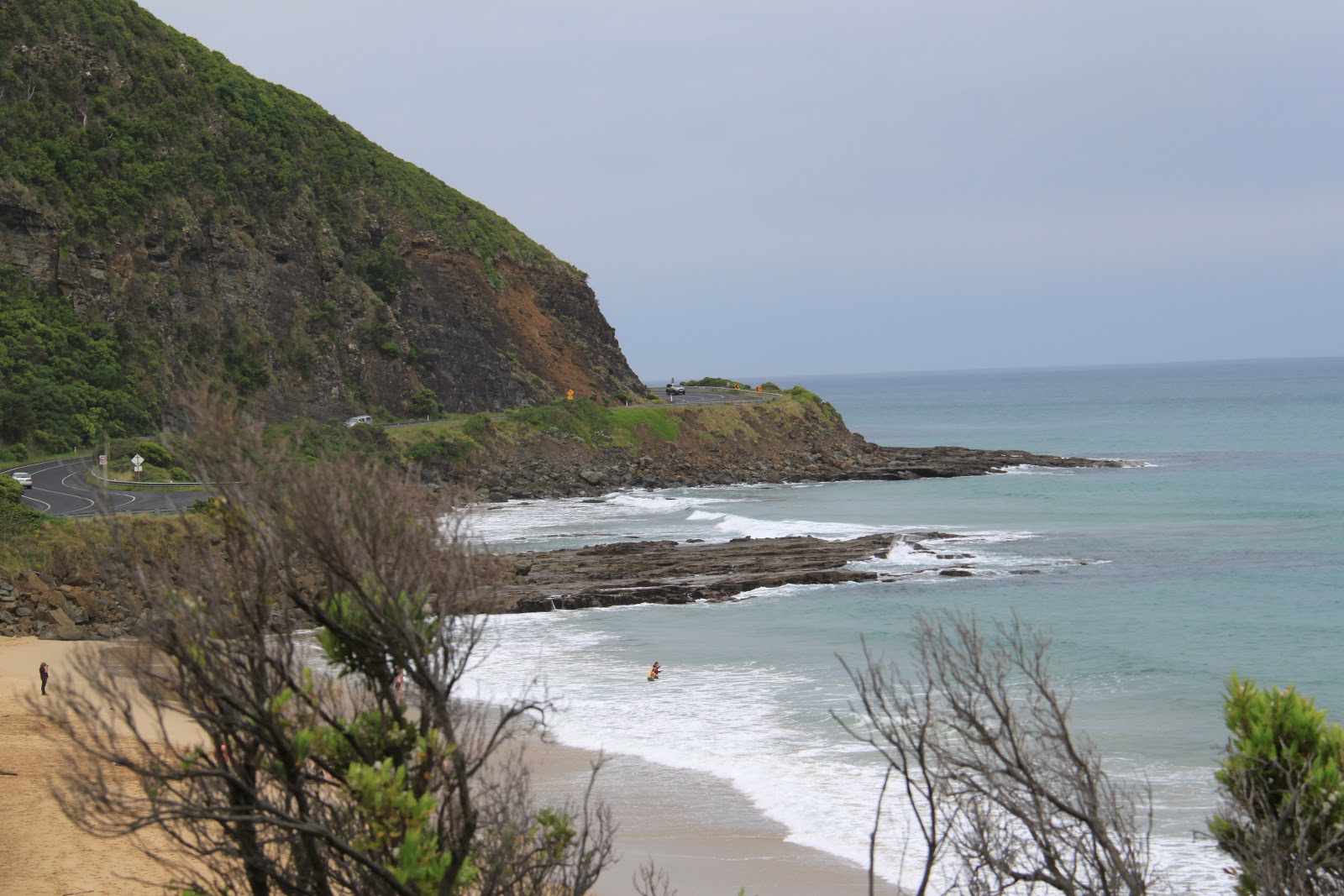
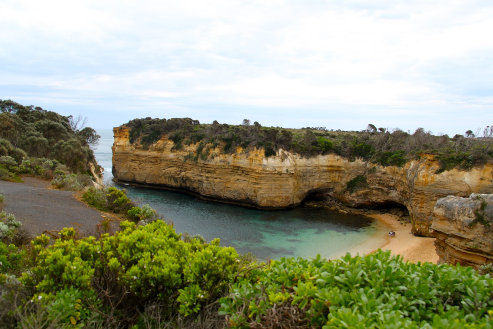
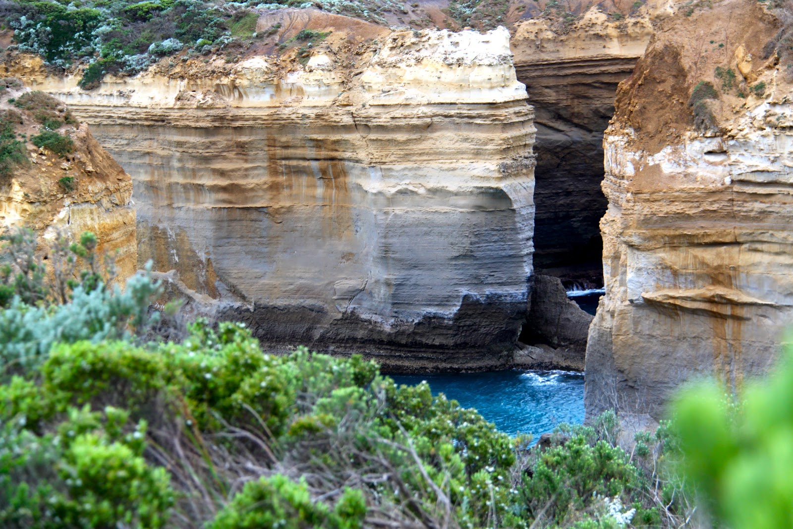
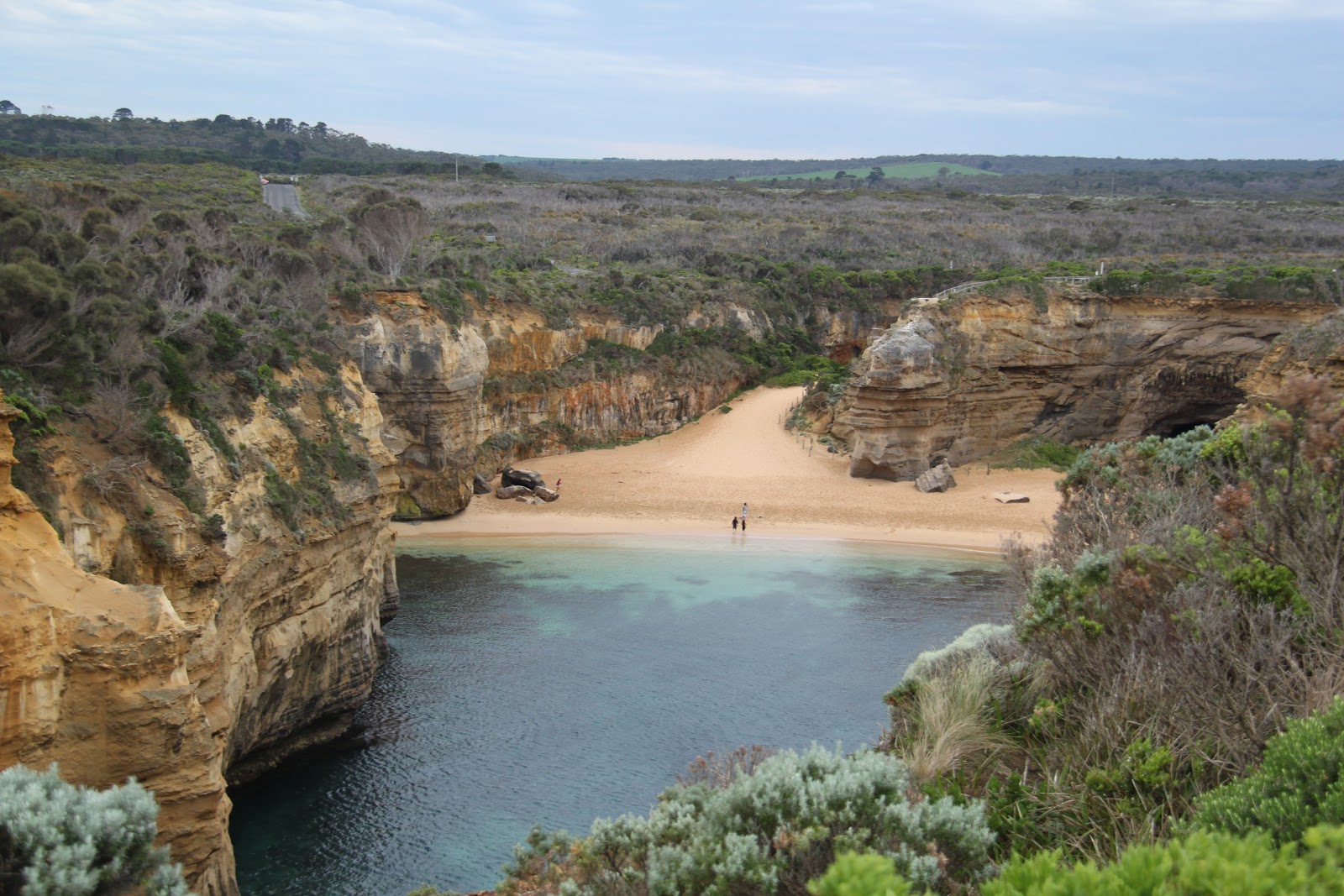
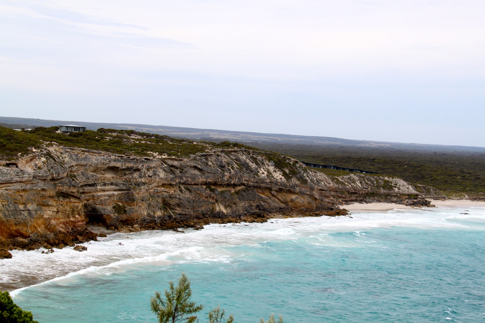
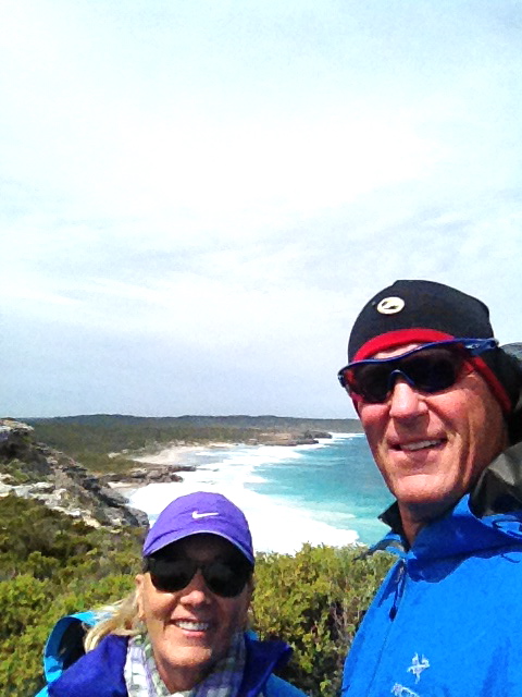
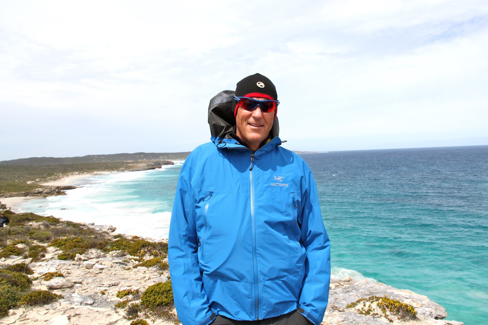
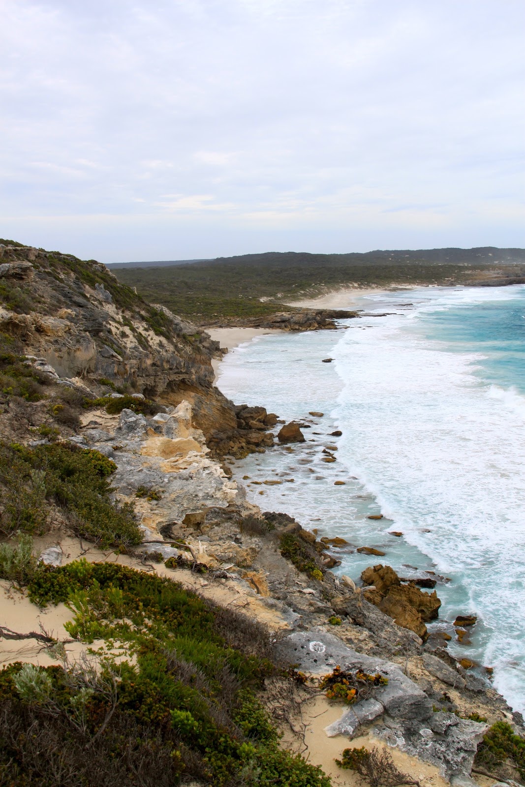
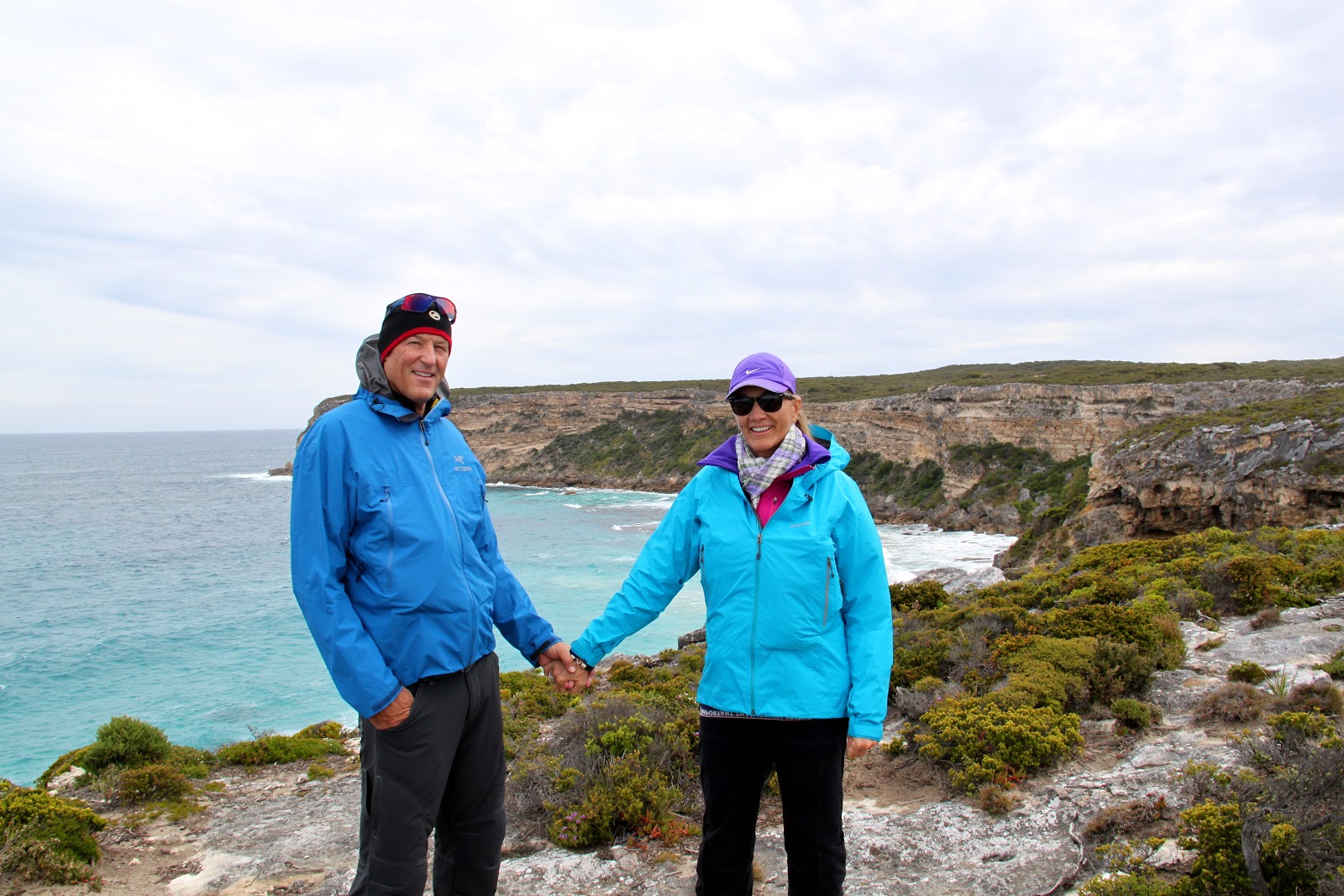
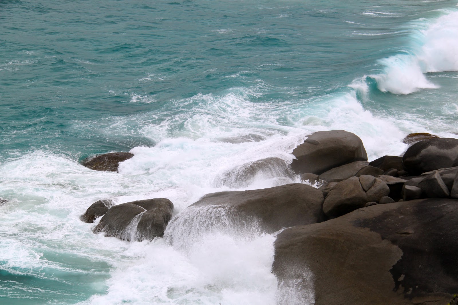
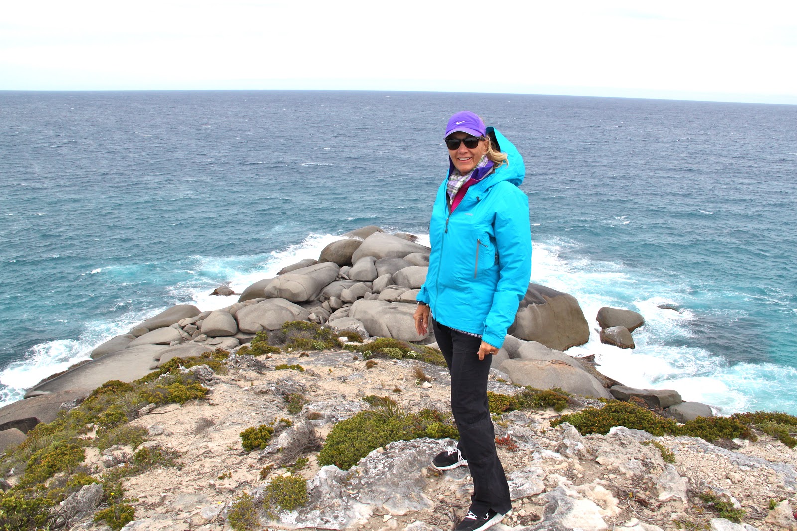
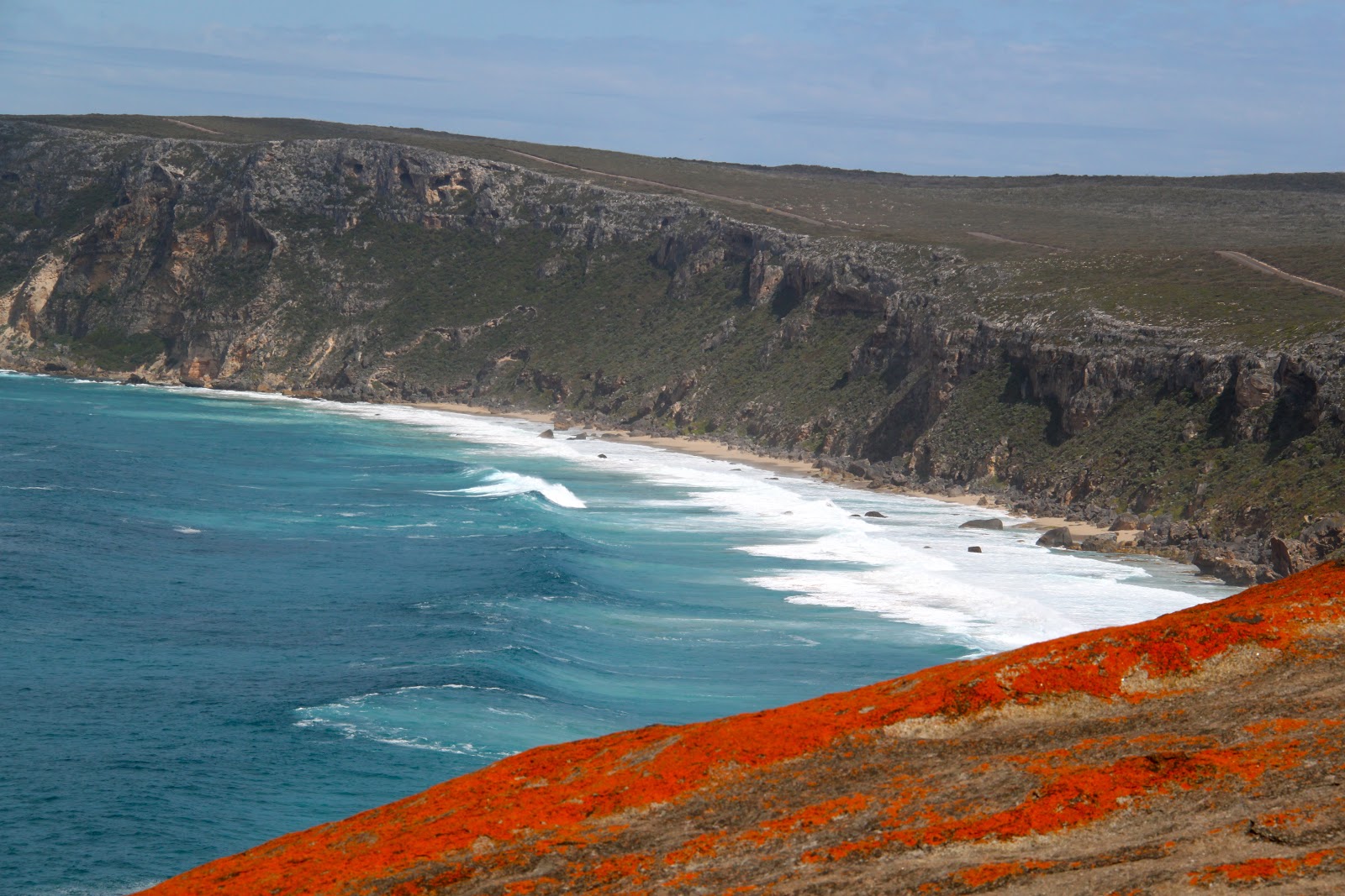
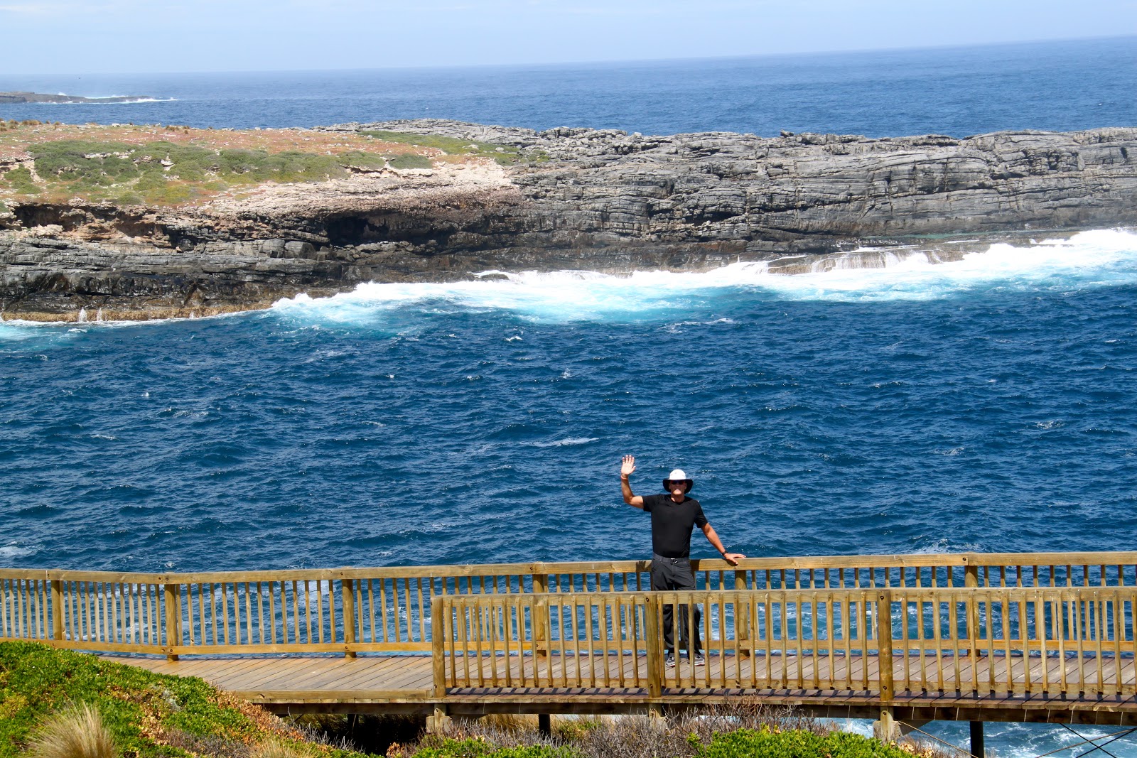
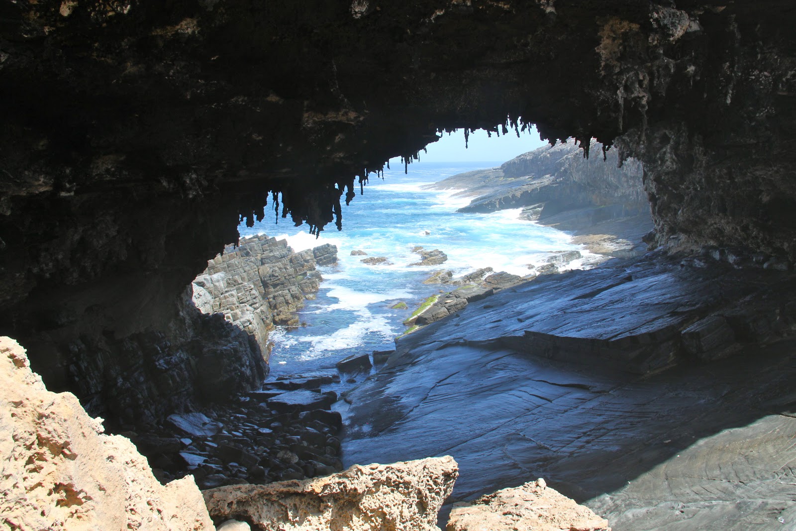
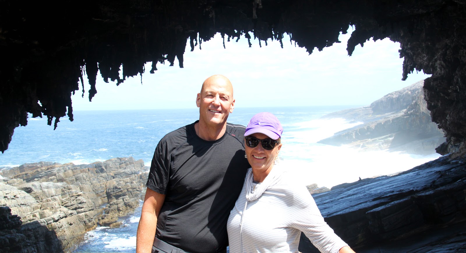
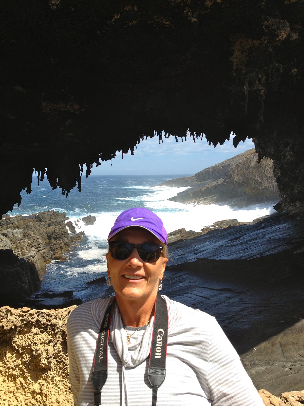
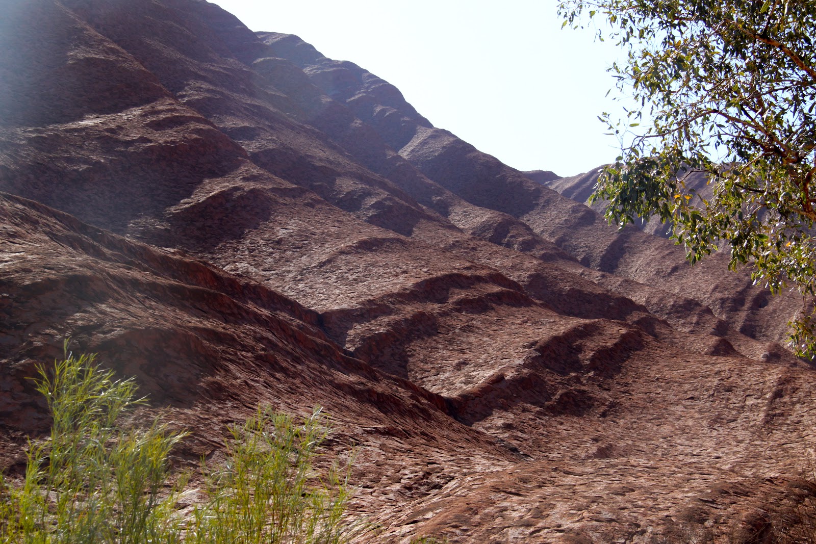
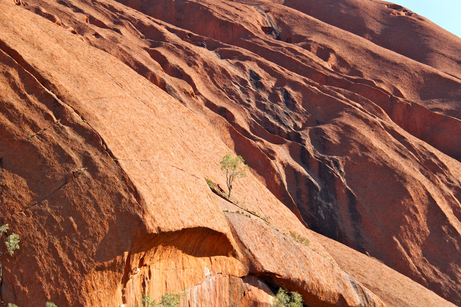
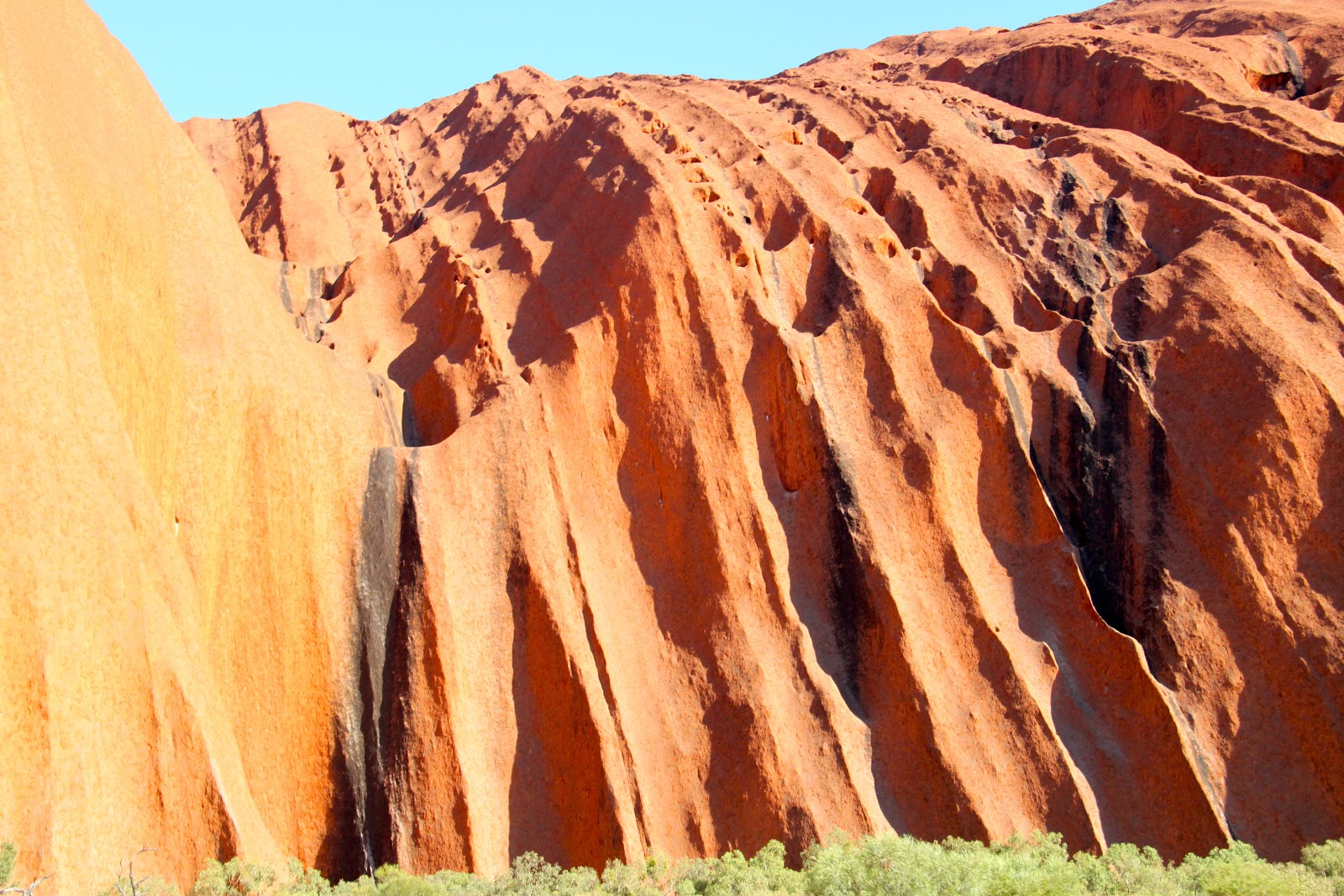
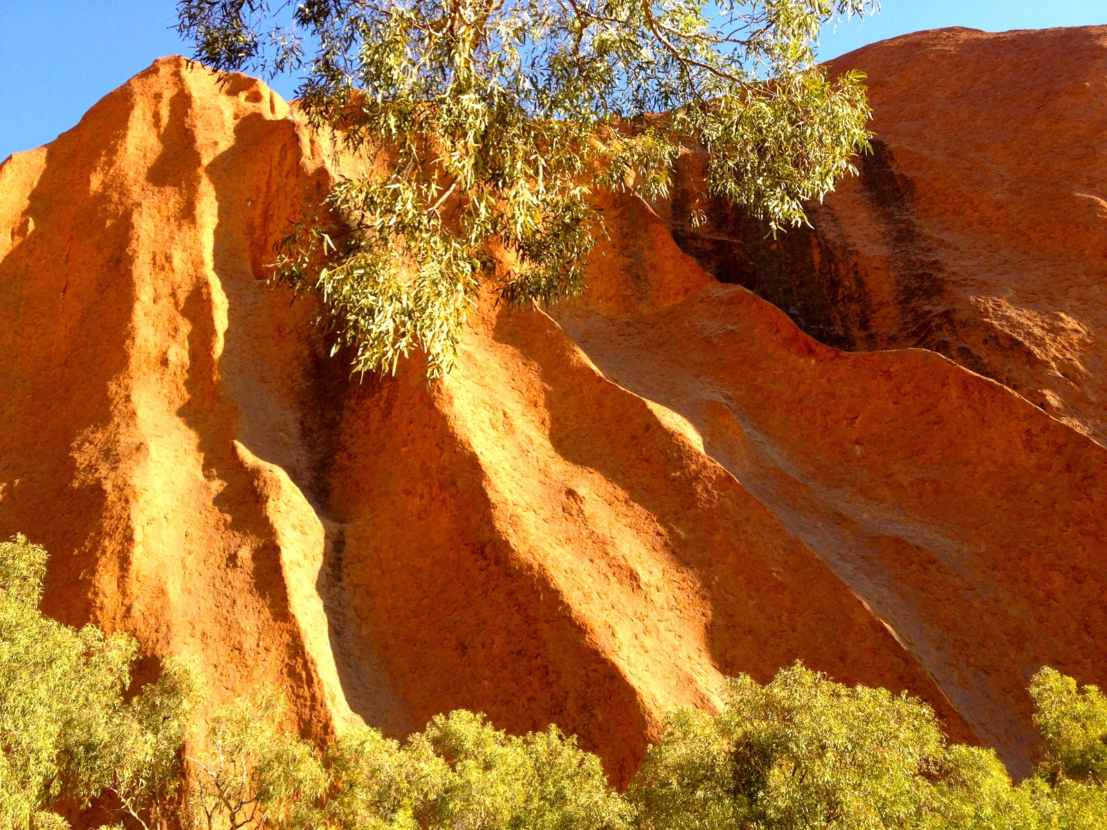
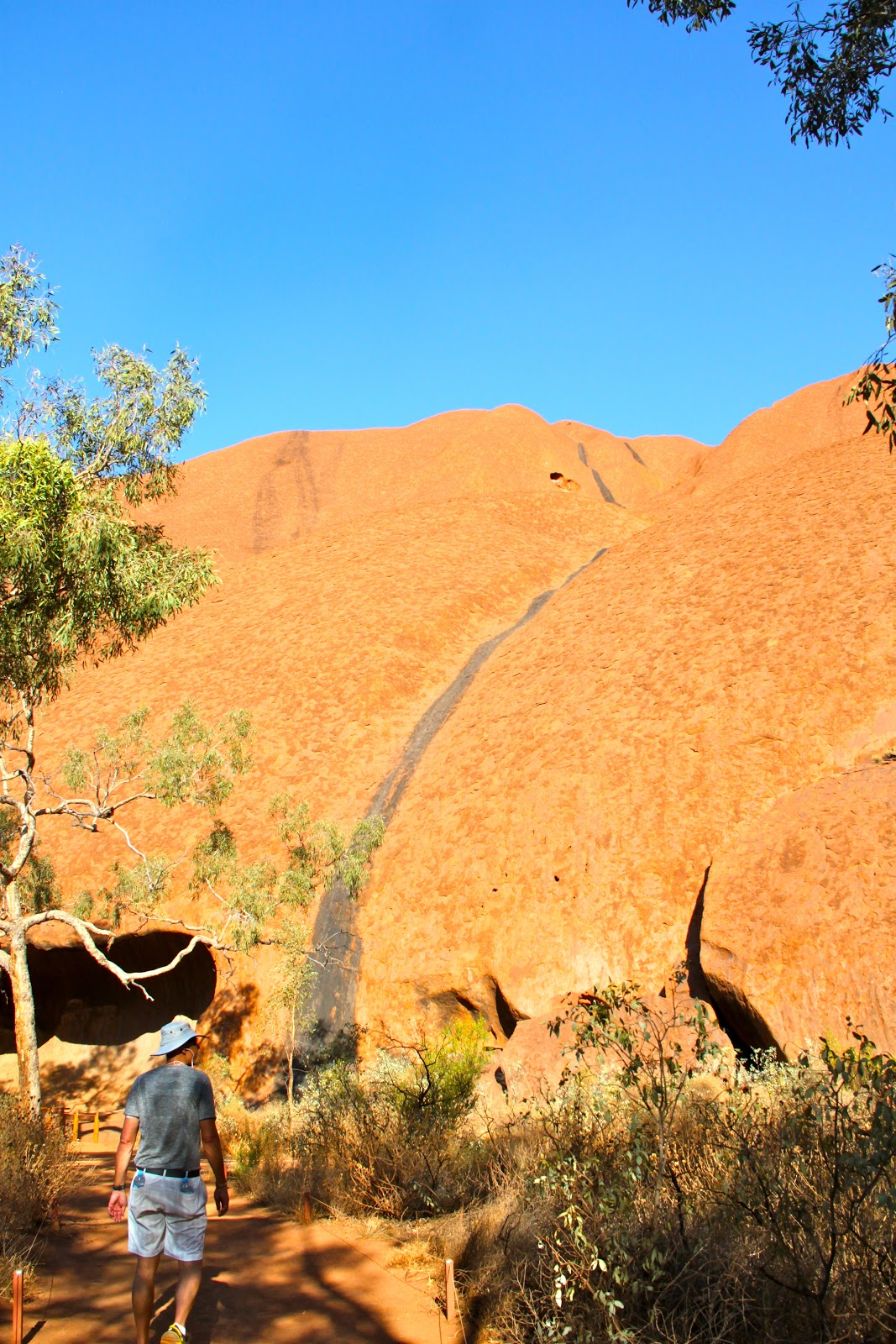
We rode to the far end of the island to begin a hike. The hike will loop past the turtle beach (where we can see turtles swimming in shallow water) and up steep slopes to a ridge with beautiful views along the coastline and back across Lord Howe and far out to sea.
 |
| Views along the way |
 |
| Scott along the way |
 |
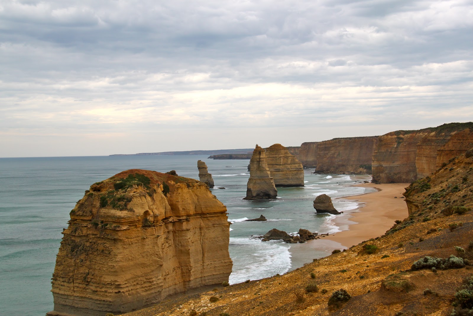
| Beautiful views |
 |
| What a pretty Island |
 |
| Watch your step! |
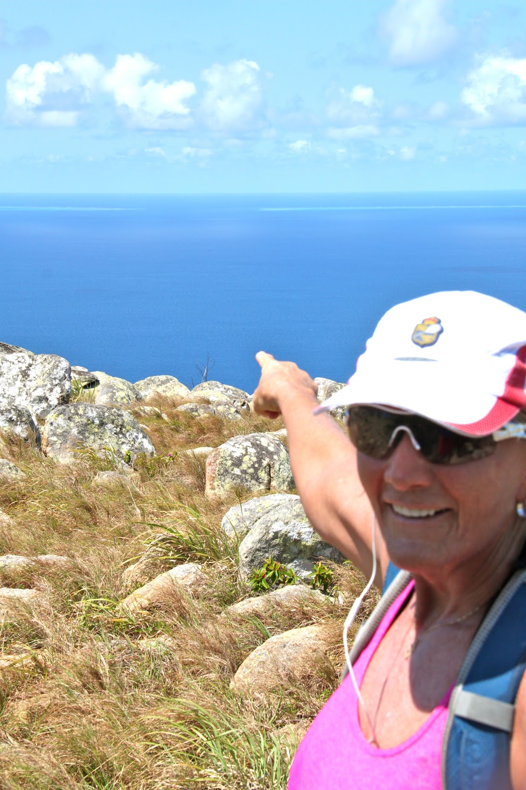
It feels great to get some exercise.
The views are magnificent.
 |
| At the end of the hike we walked through cow fields. |
 |
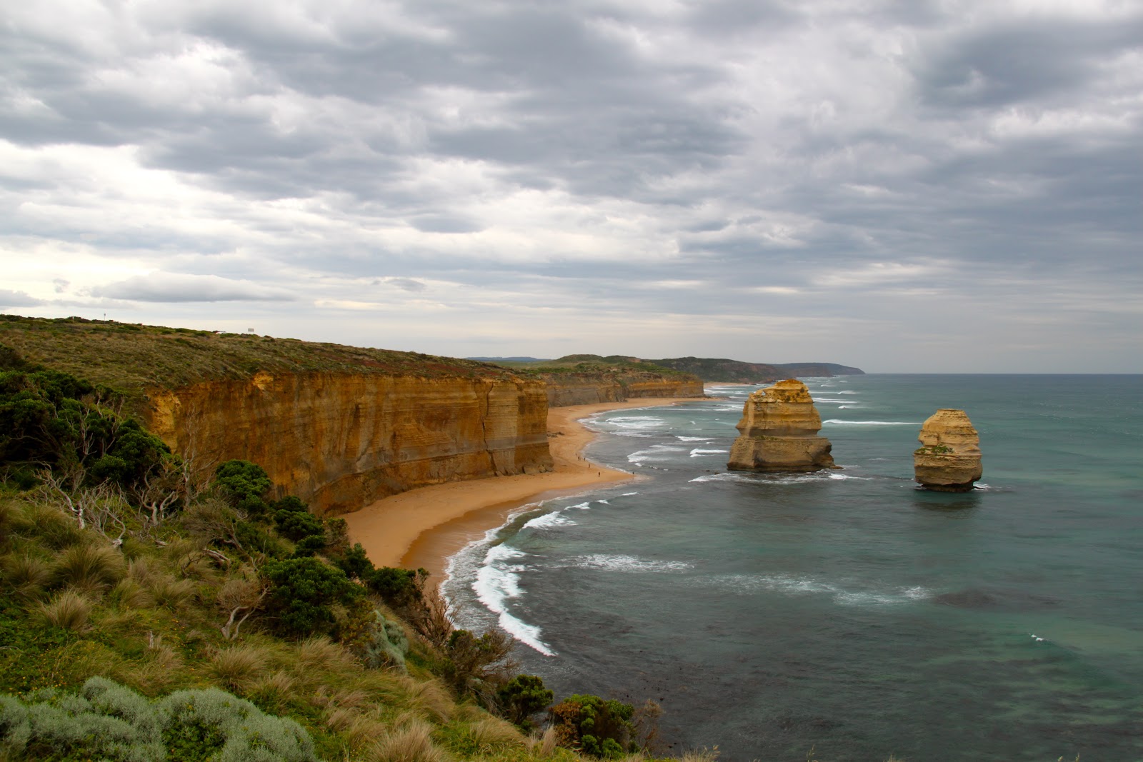
| Views at the end of the hike |
We comment that the beauty of this island is idyllic. With its beautiful beaches, lush tropical plants and trees, and the beautiful water and sand and mountains, we agree that it is prettier than Bora Bora. We stayed a week on Bora Bora more than 25 years ago when there were only 2 small hotels on that island.
There are 350 full time residents on Lord Howe.
Most are 6th generation children of the original settlers.
Kids don’t wear shoes to school.
Locals drive without their drivers’ licenses.
Only 400 tourists are allowed on the island at any one time.
 |
| Amazing scenery |
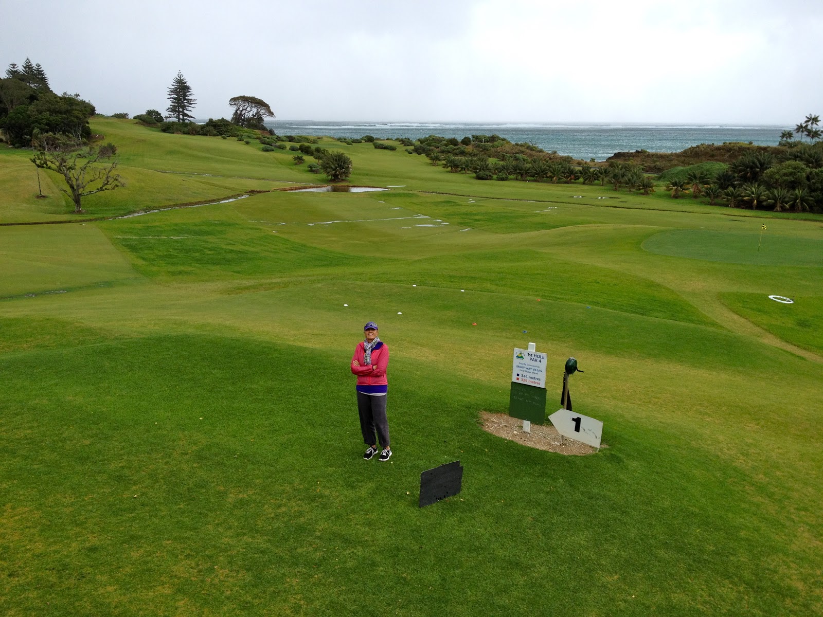
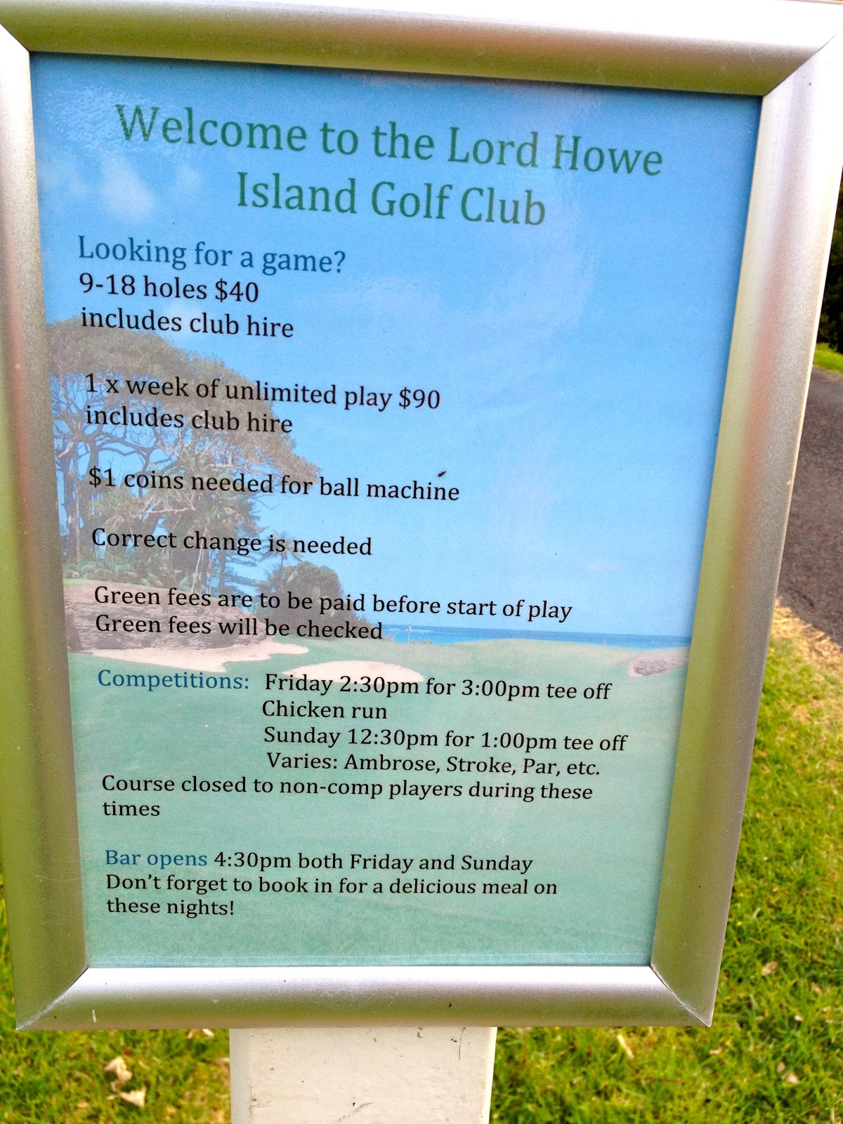
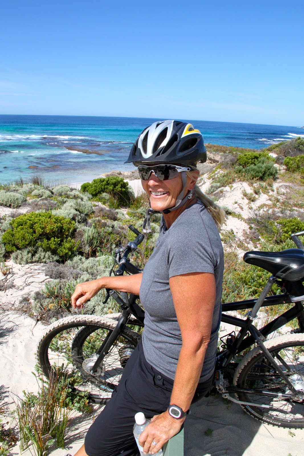
We rode our bikes past the golf course.
Put $40 into and envelope, take a bag of clubs and play as many holes as you want.


|
| Views from every hole |
 |
| Barb at hole #1 |
 |
| Everything is on the honor system. Just put money in the pot, grab some clubs and a couple of balls and go play. |
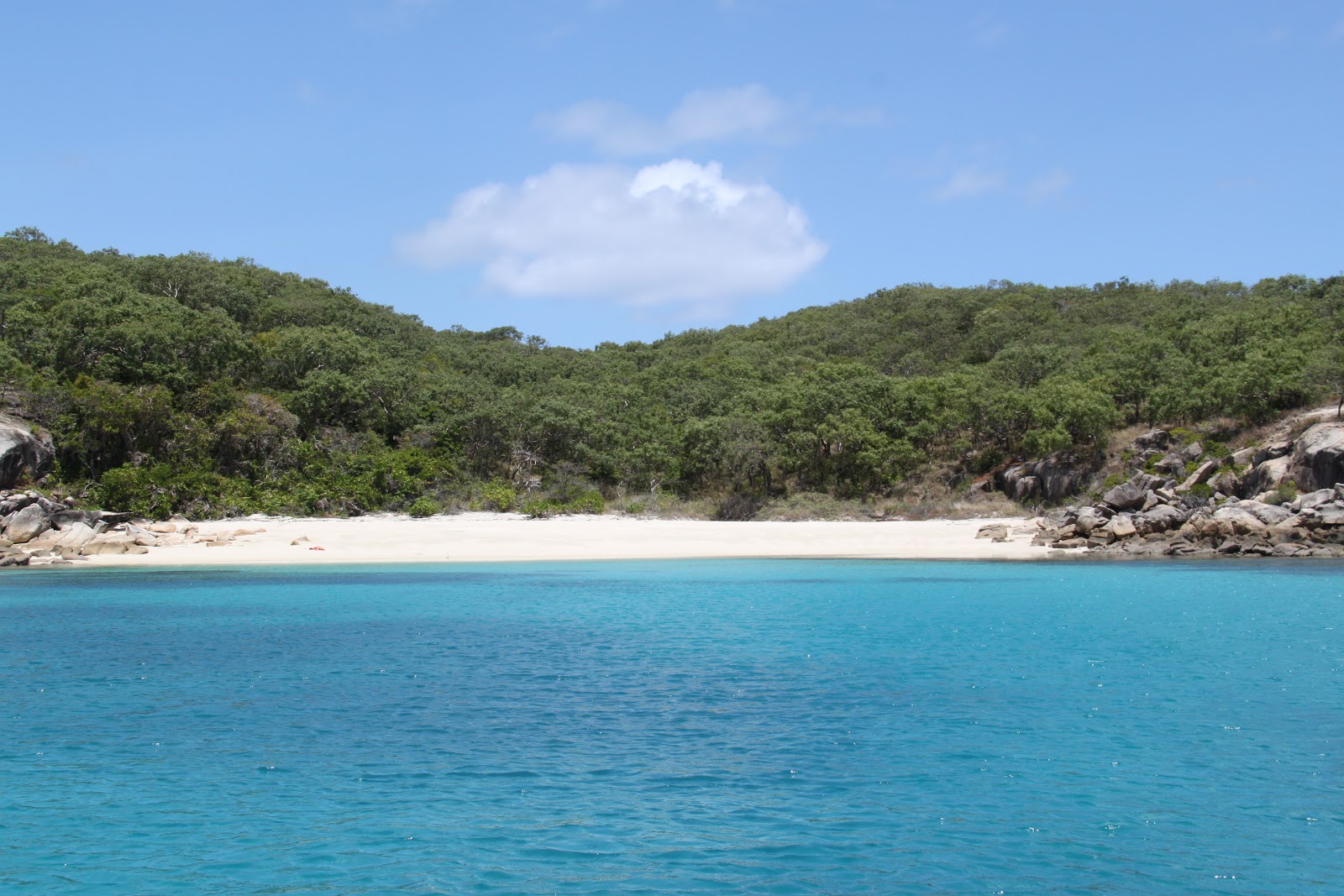
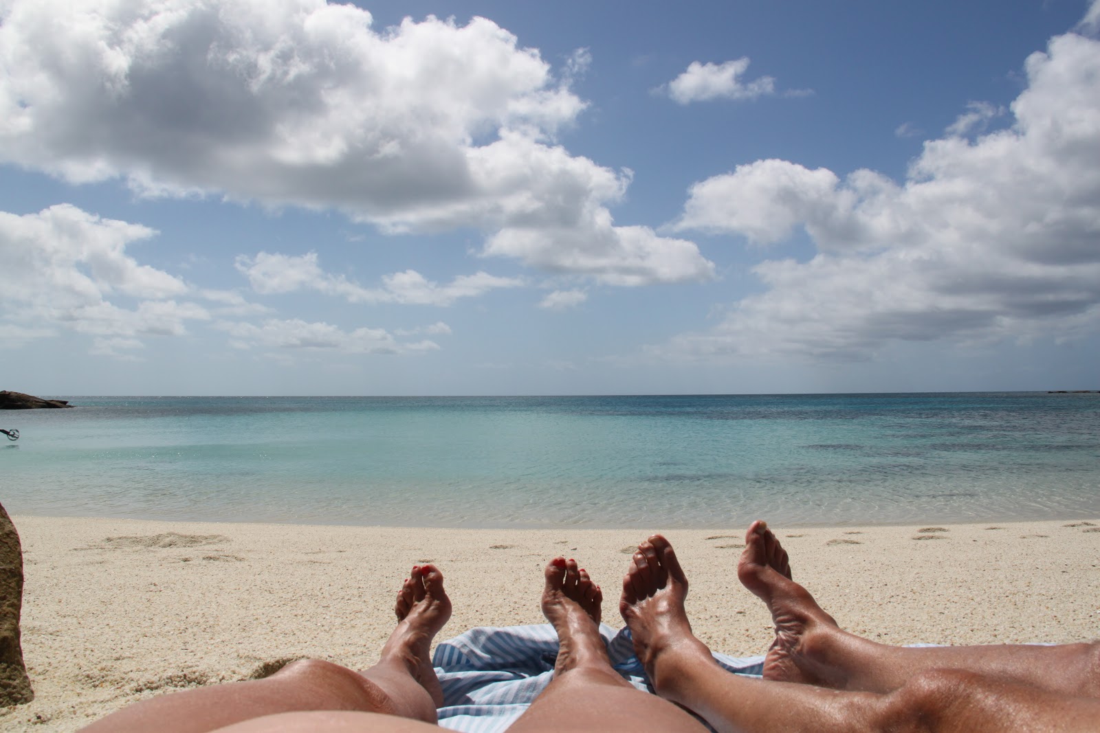
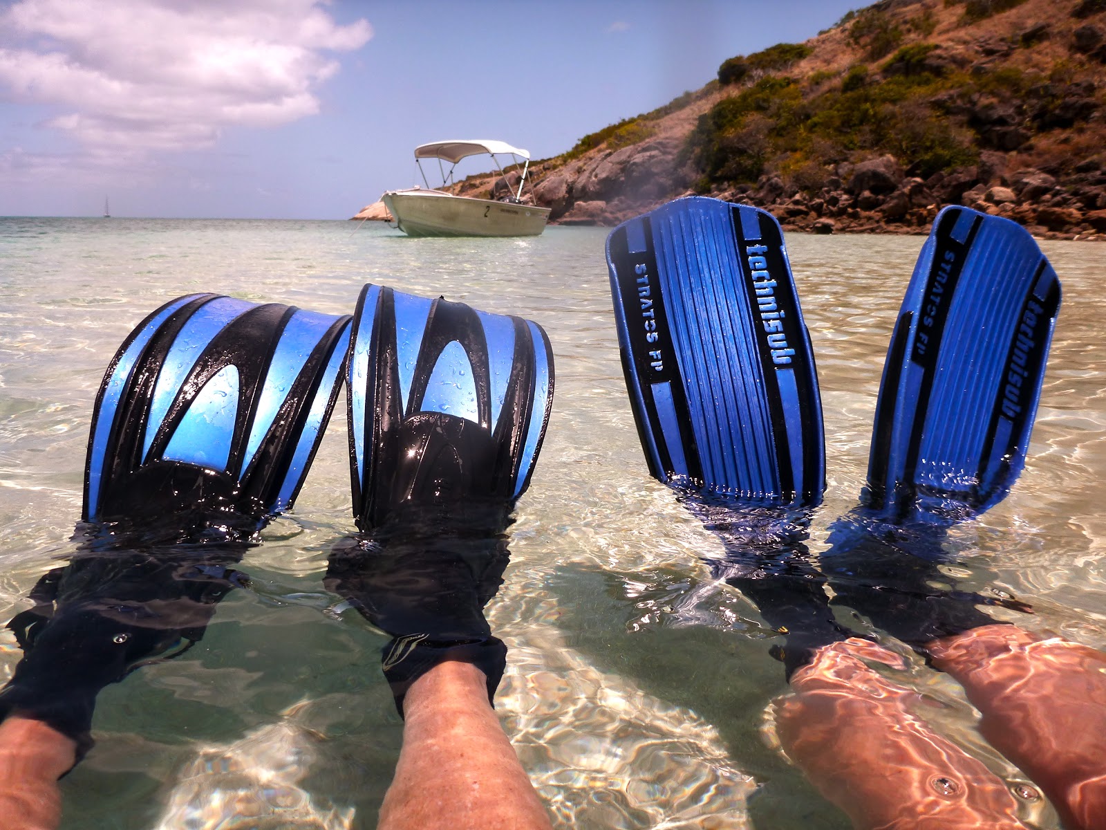
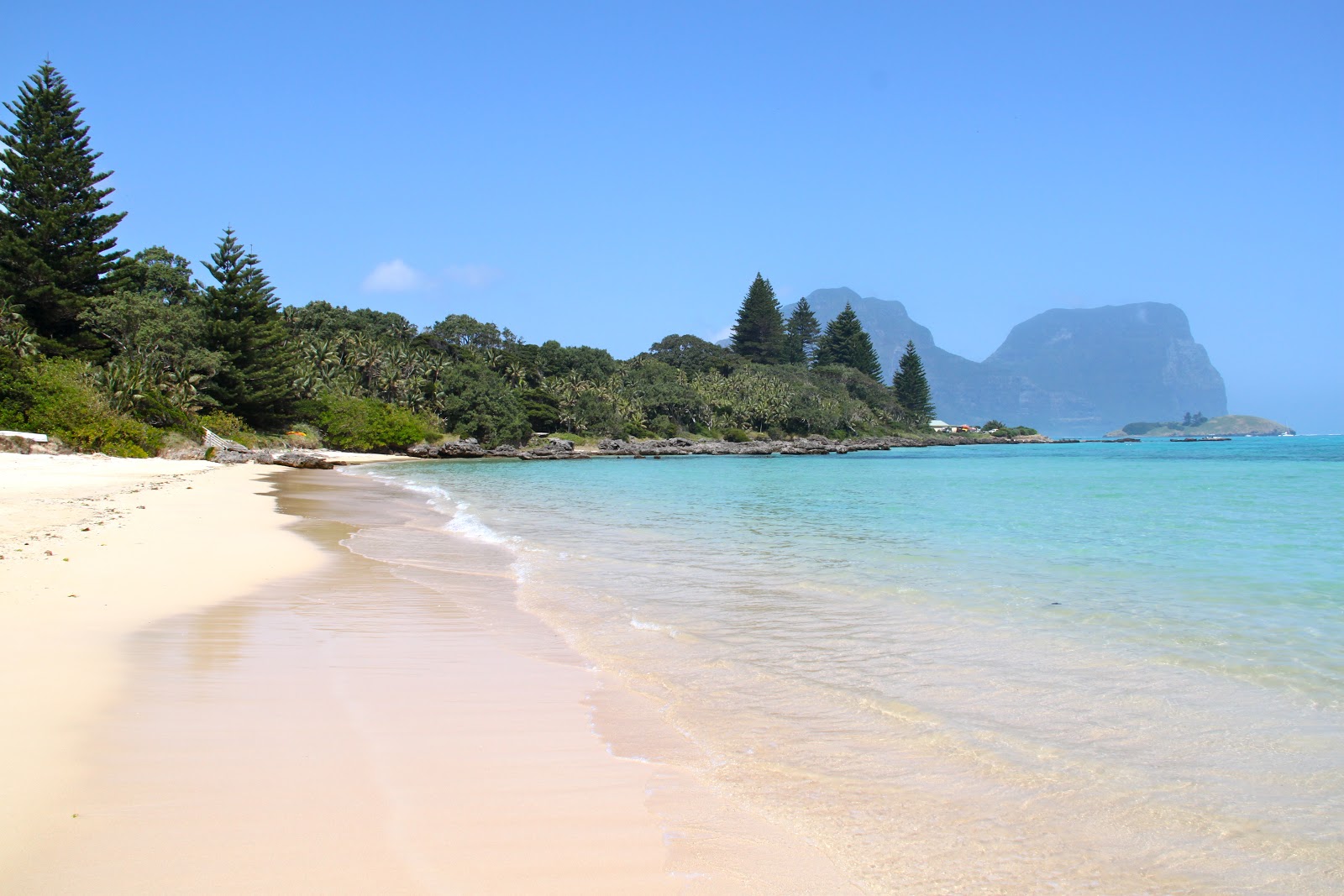
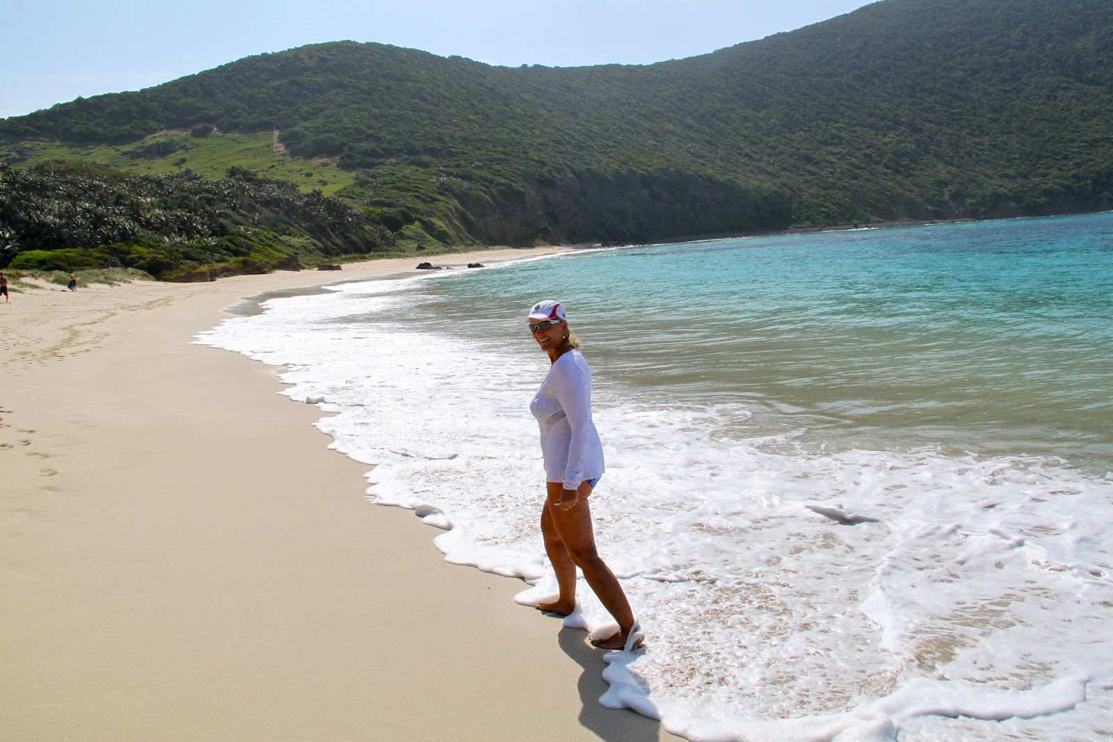
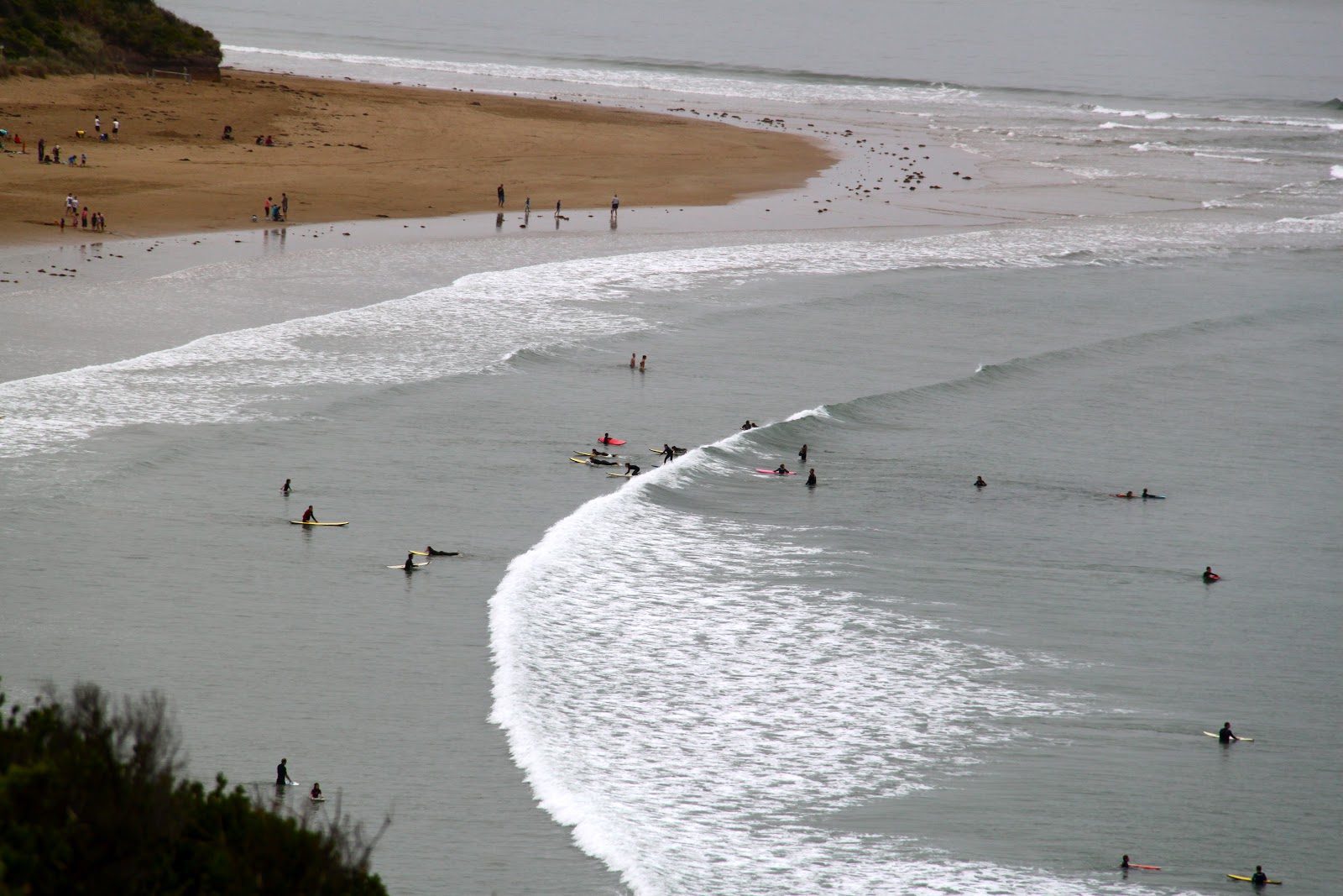
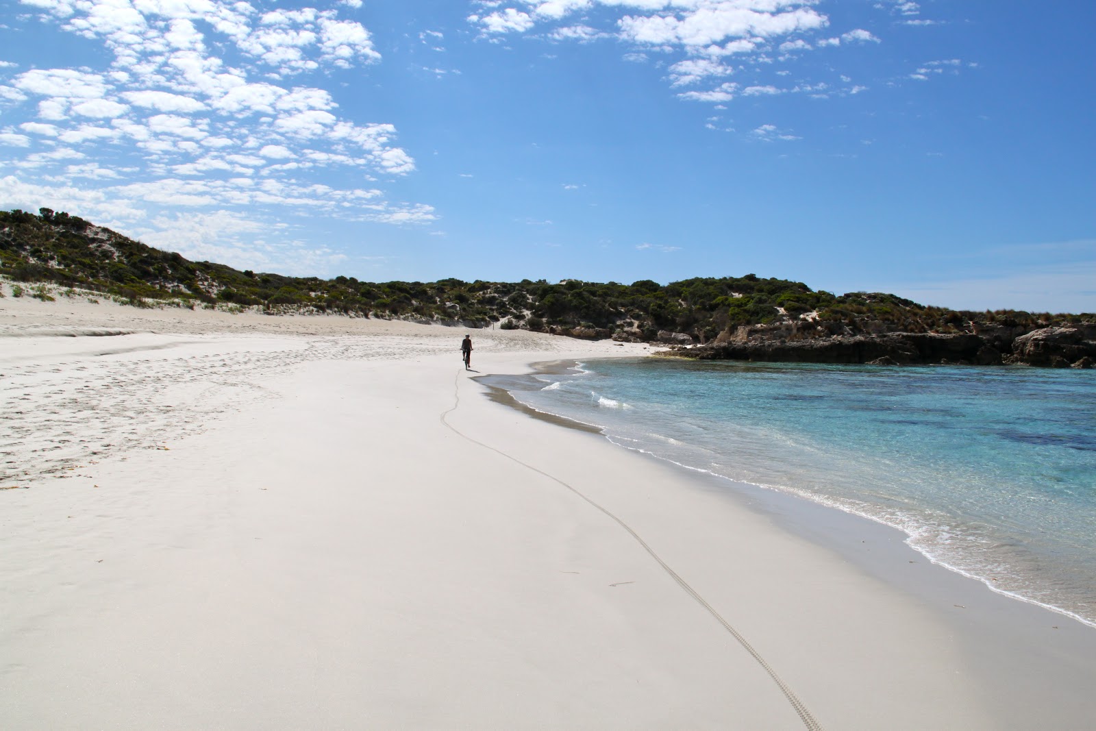
We ride past deserted beautiful beaches. Put $4 in a wooden box and take a boogie board out into the surf or put $6 in the box and take a wet suit. Wet suits are a good idea. The water is 18.5 degrees C (65 degrees F). I think this is a little warmer than San Diego water. Akumal water is about 82 degrees F.
 |
| Beautiful beaches |
 |
| Amazing colors |
We ride past the airport.
People wave and smile at each other. “Hello Mate”.
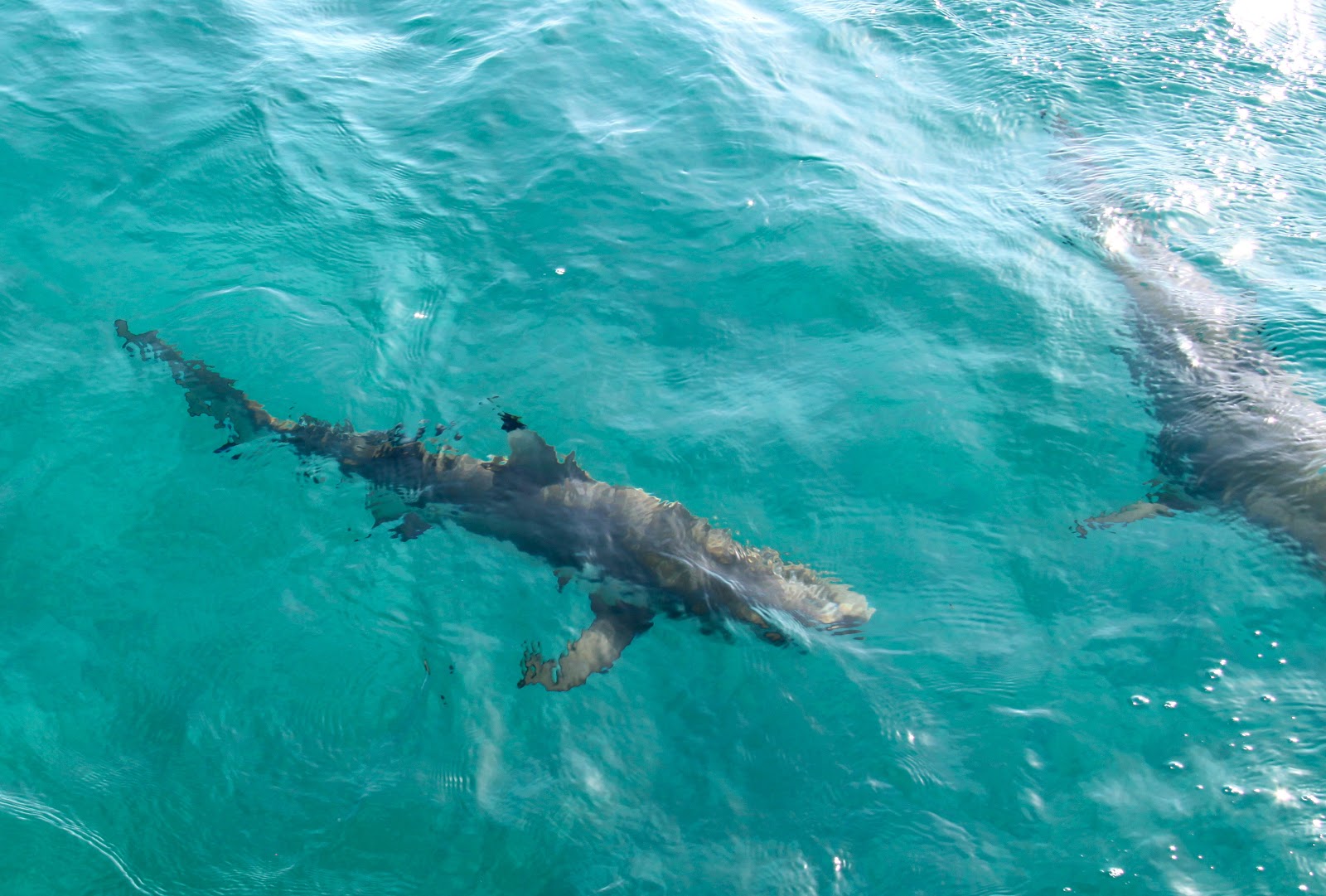
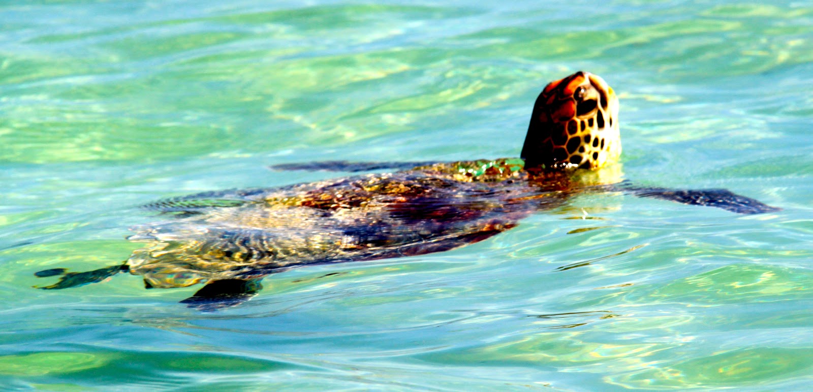
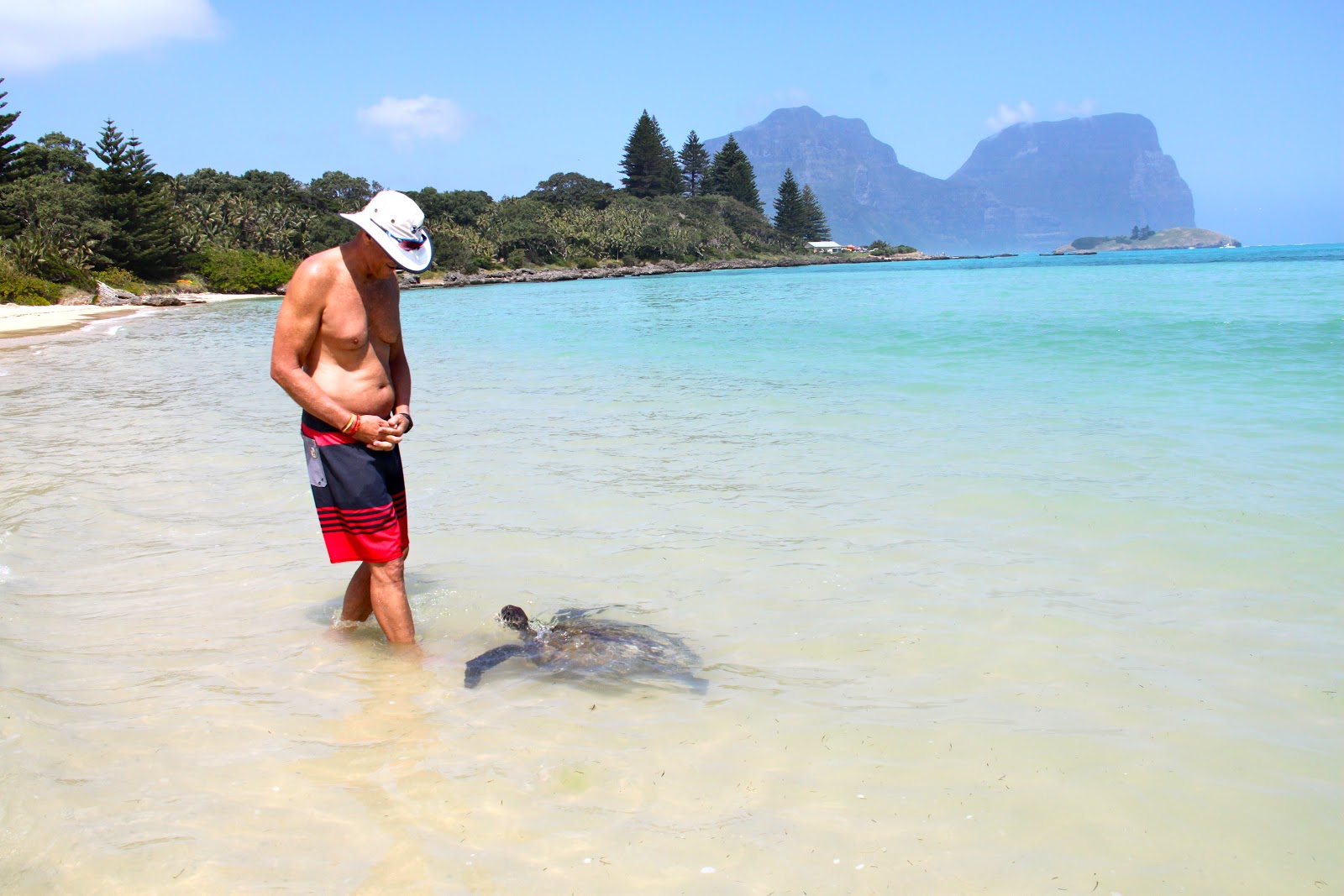
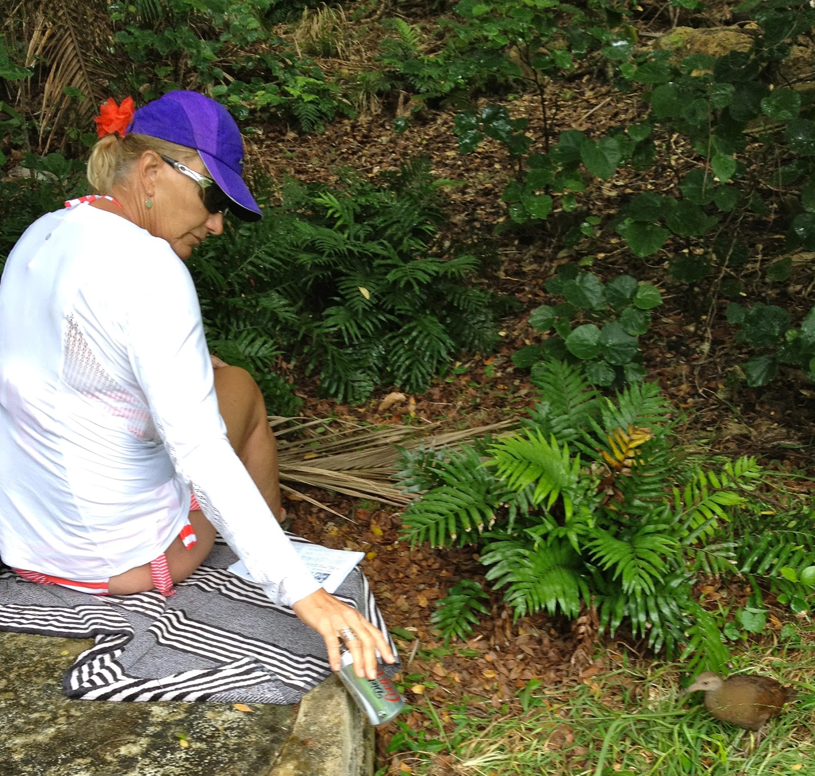
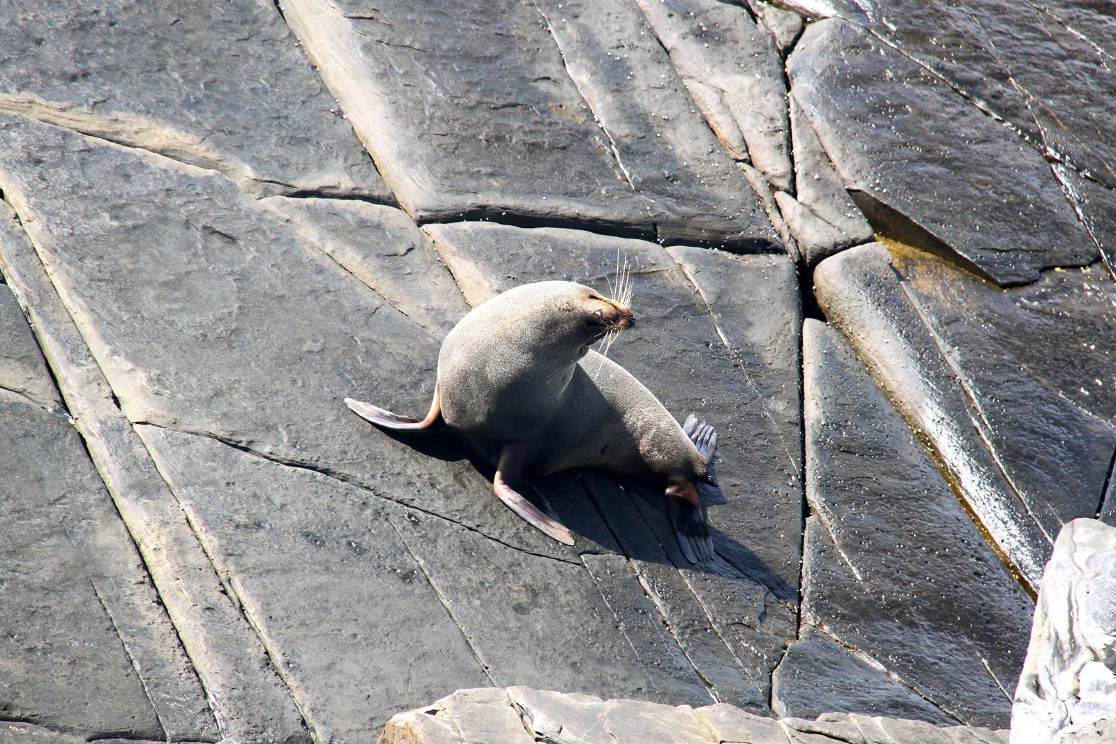
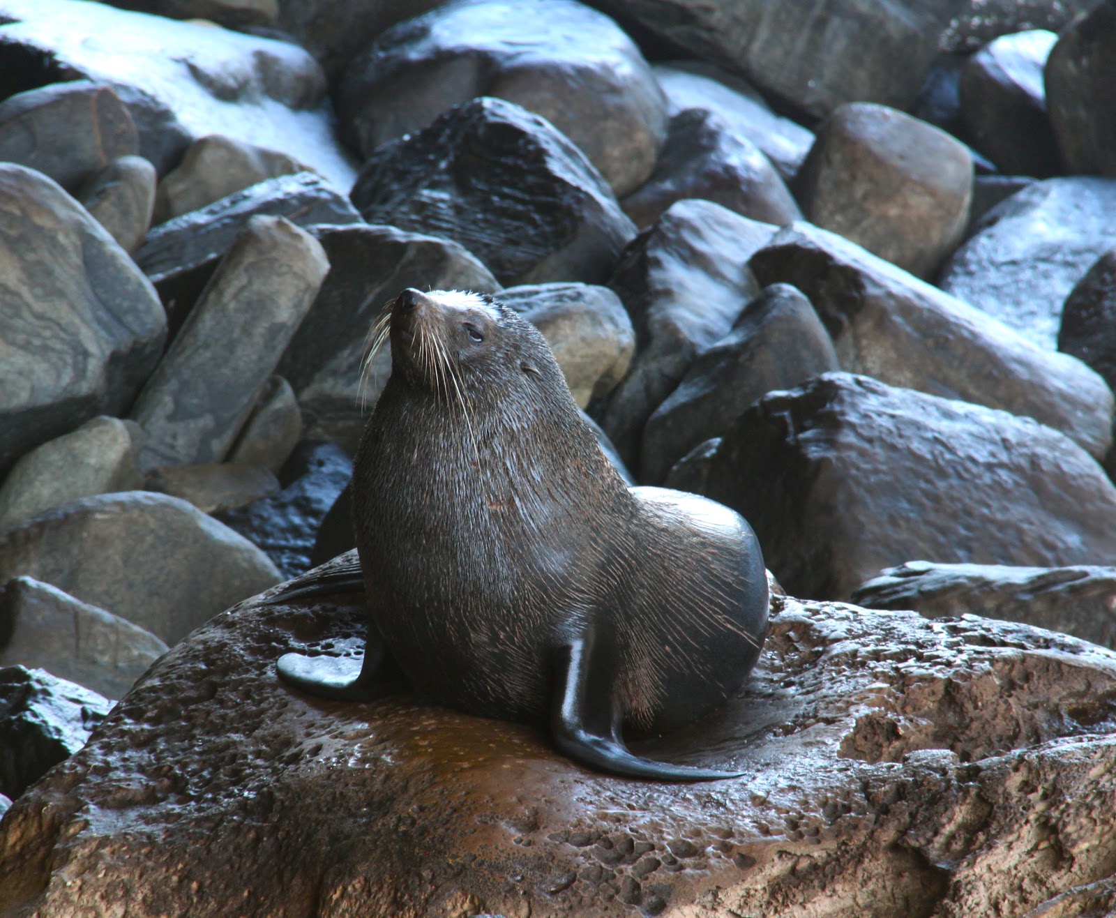
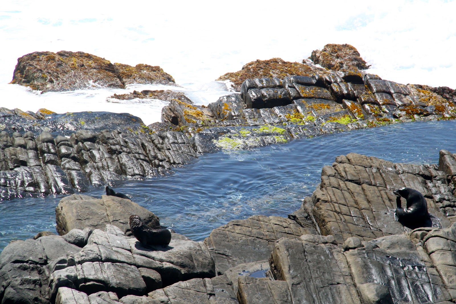
We met a local man who was feeding the turtles by throwing strips of raw fish to them.
These Green Turtles would swim right up to shore and take food out of his hand.
I think he is nuts to get his fingers close to those powerful jaws.
 |
| Feeding turtles |
 |
| Turtles swimming in the bay |
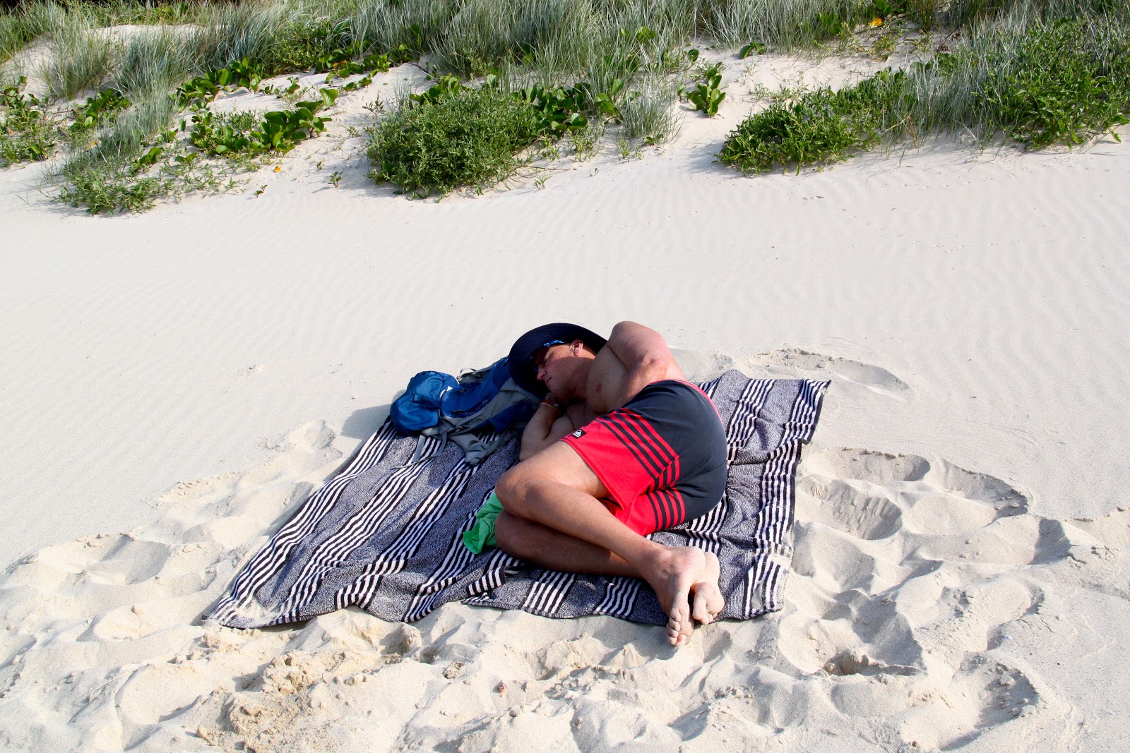
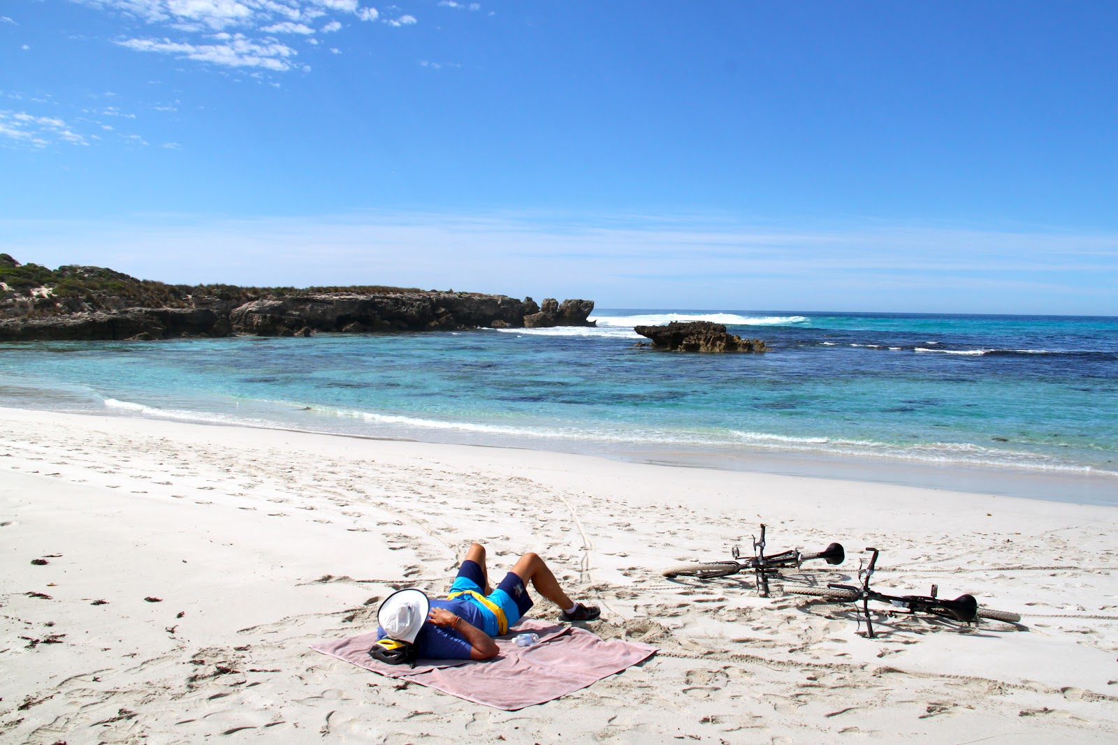
We took a quick swim (the first minute makes you gasp for air) and then lay down on the beach. Soon we were both asleep in the sunshine.
We woke up and rode our bikes back to our hotel.
 |
| Riding back to the hotel |
What a beautiful day on Lord Howe.
The weather forecast for the next day calls for rain.
We heard rain during the night but the morning breaks mostly sunny.
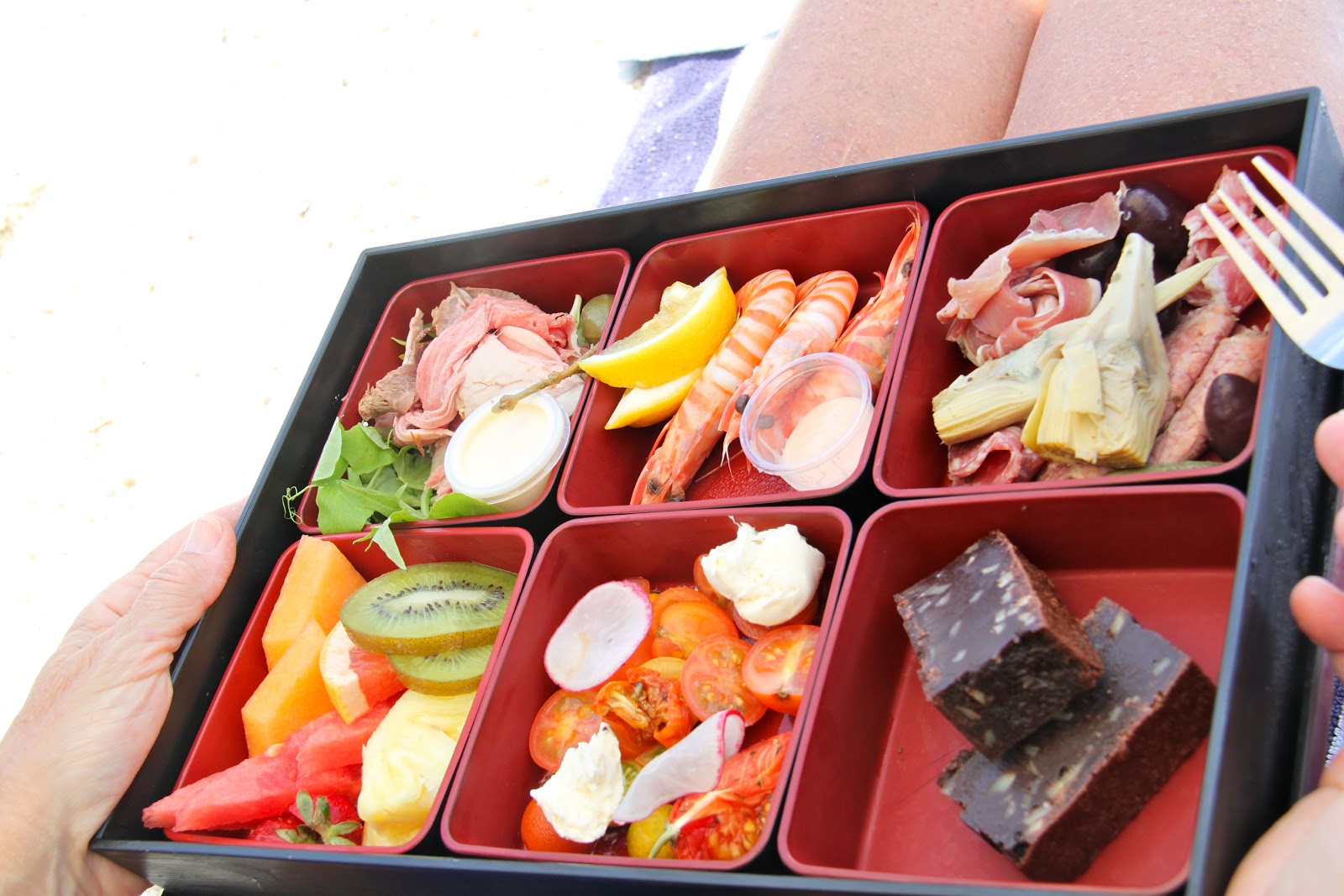
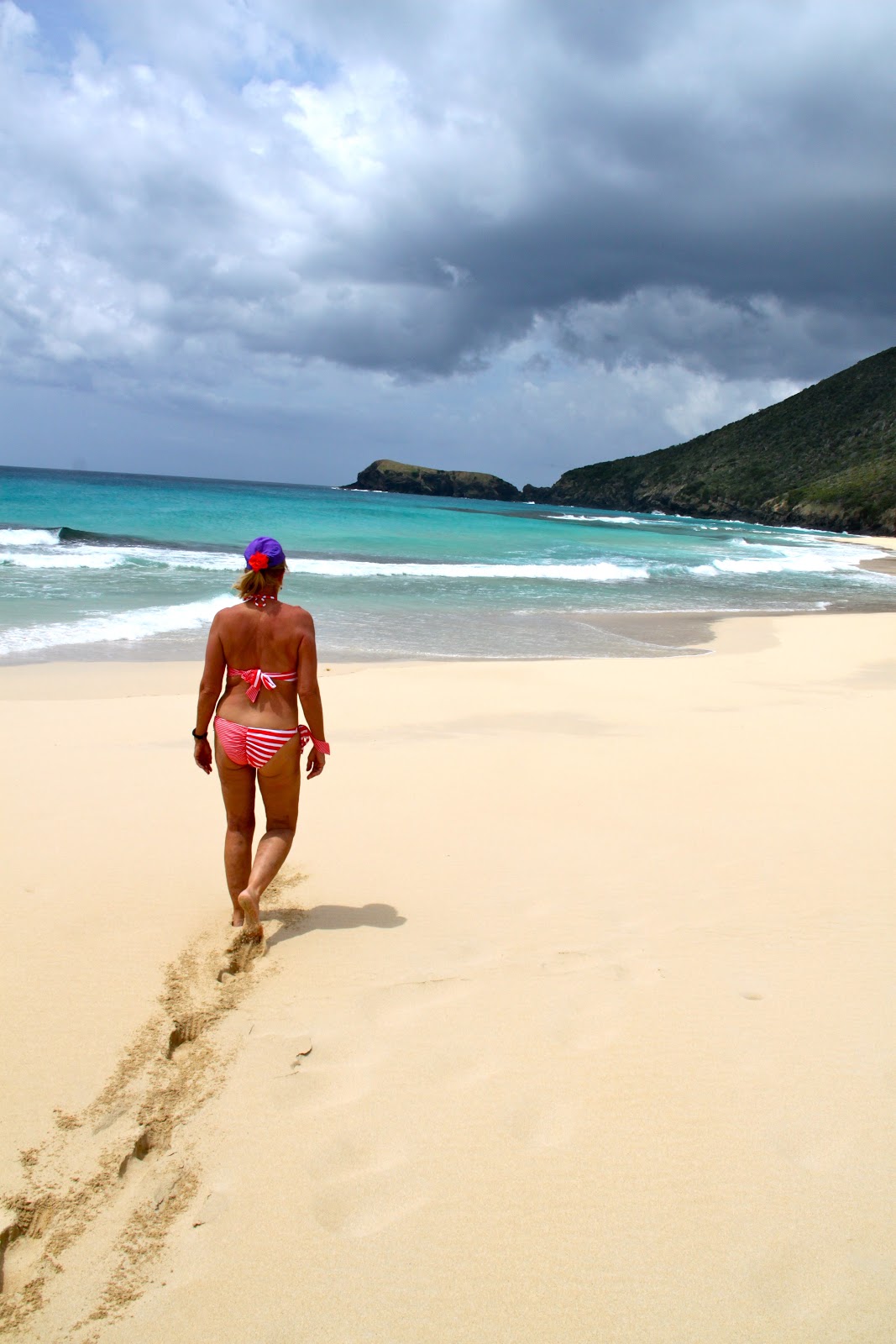
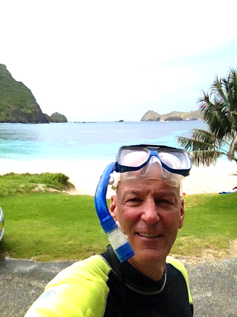
We ate breakfast, loaded up snorkel gear, beach towels and a picnic lunch and jumped on our bikes and headed to Blinky Beach.
It is a major beach on Lord Howe and there is no one here.
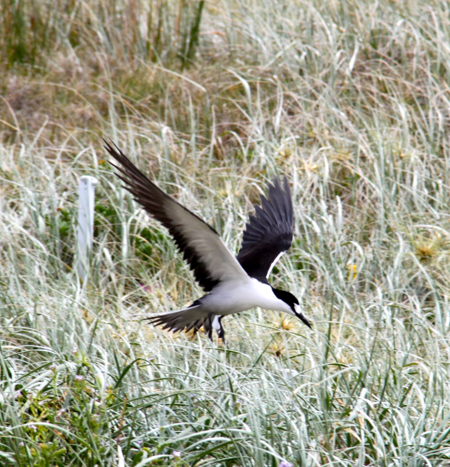
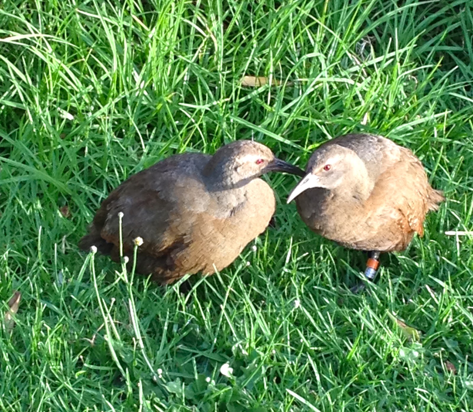
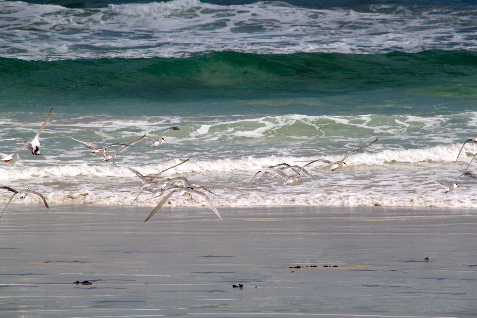
We laid around for a while and took walks down the beach to look at the nesting birds.
 |
| Scott on Blinky Beach |
 |
| Not too busy at the beach |
|

|
| Nesting birds |
 |
| Cold Water |
We stayed in the water for 25 minutes and we were cold when we got out.
We rode our bikes back to our Lodge and got into the hot tub but were still cold so we got in our shower and stayed for 30 minutes.
 |
| Getting back on the bikes |
 |
| Bike back to the lodge |
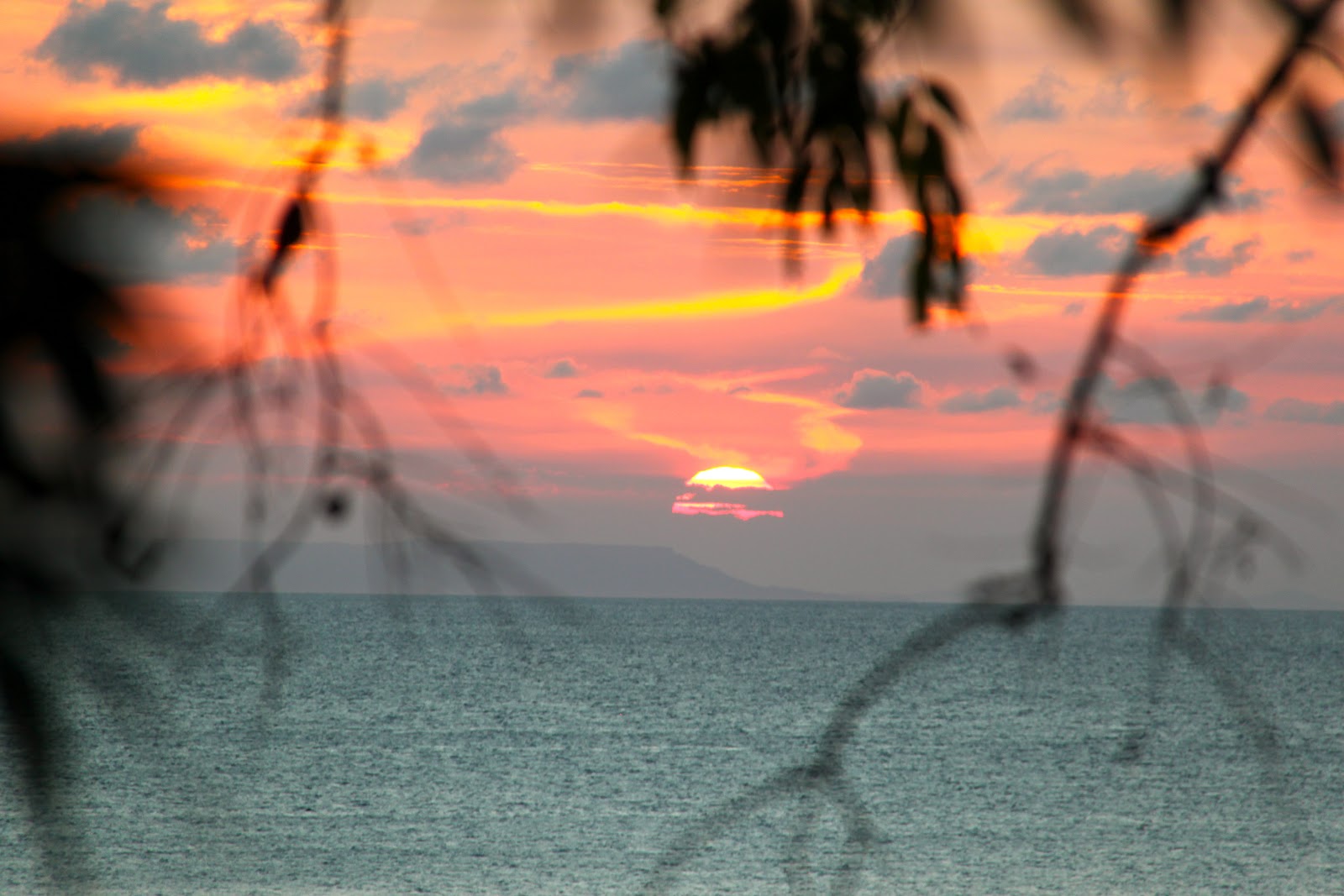
Bad weather is now bringing rain down in sheets with wind gusts so strong that we think it is going to blow our patio furniture away. Wind and rain wake us up at various times during the night. We are wondering out loud whether a plane can fly in and land to pick us up for our scheduled flight at 1 pm tomorrow.
When we go in for breakfast we get the news: Quantas Airlines will not attempt to land on Lord Howe today. Our flight has been cancelled and they will try again in 24 hours.
WE ARE STUCK ON ONE OF THE MOST BEAUTIFUL ISLANDS IN THE WORLD !
After breakfast, and even though its raining, we take the golf cart with full plastic rain coverings and we explore every road on Lord Howe Island.
Most of the roads dead end in the tropical forest at either a small lodge or a private home.
 |
| Golf cart with our rain protection |
 |
| The weather is colder |
 |
| Last minute photos |
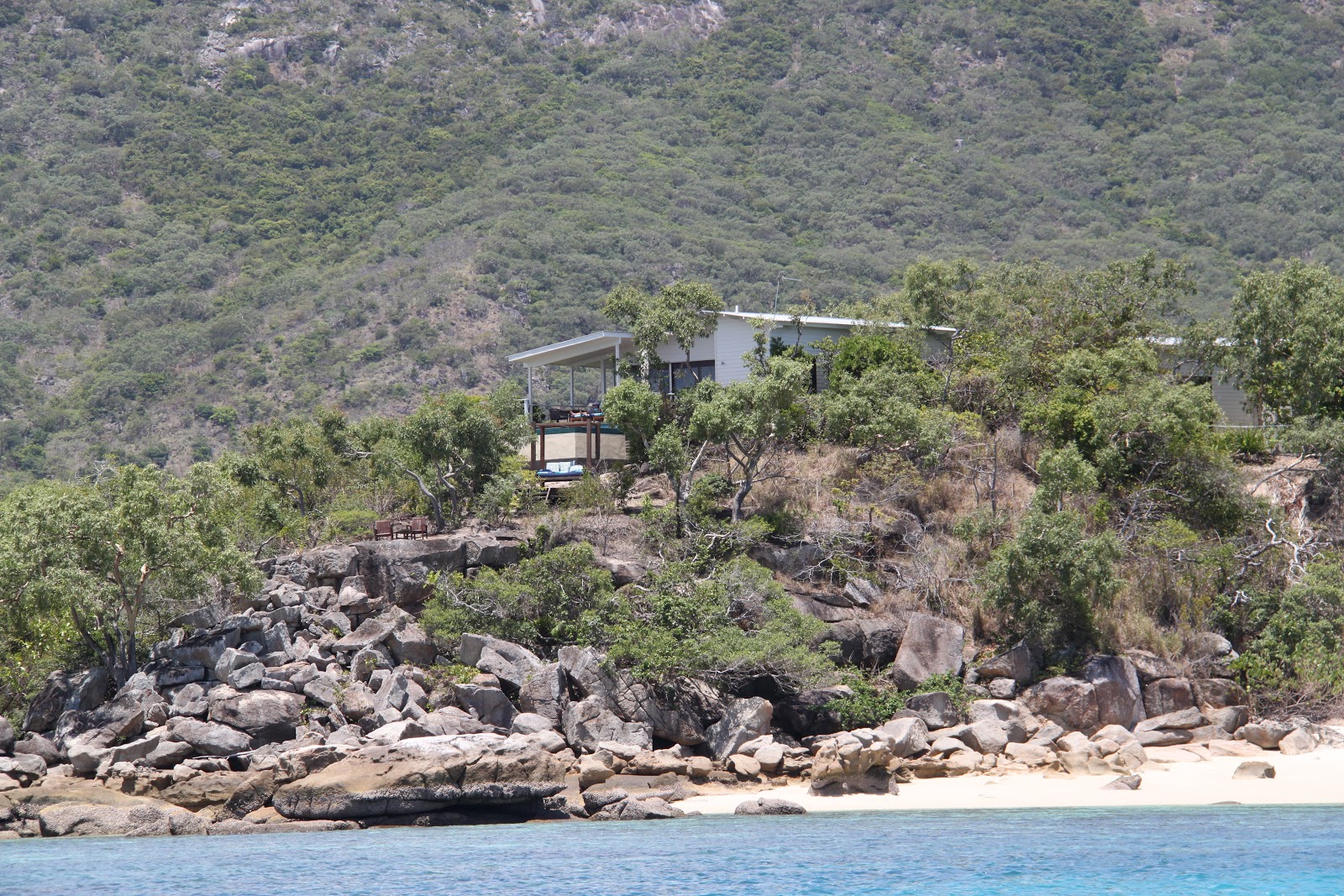
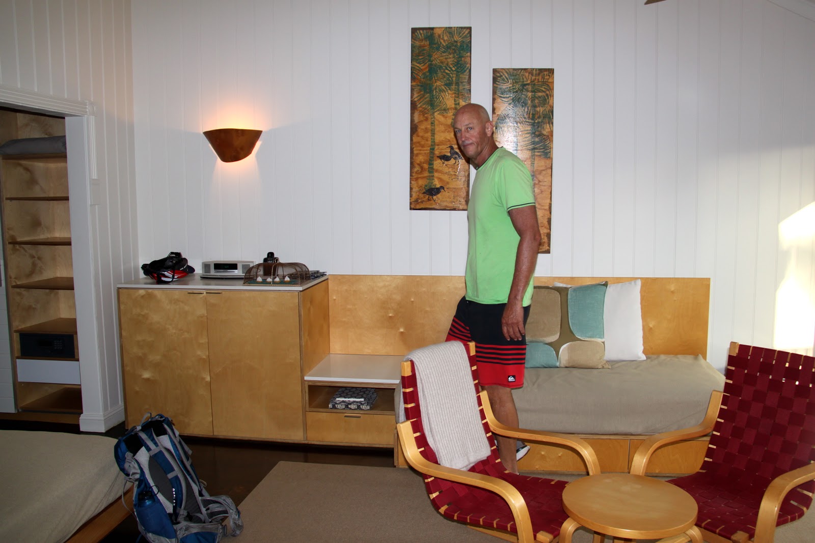
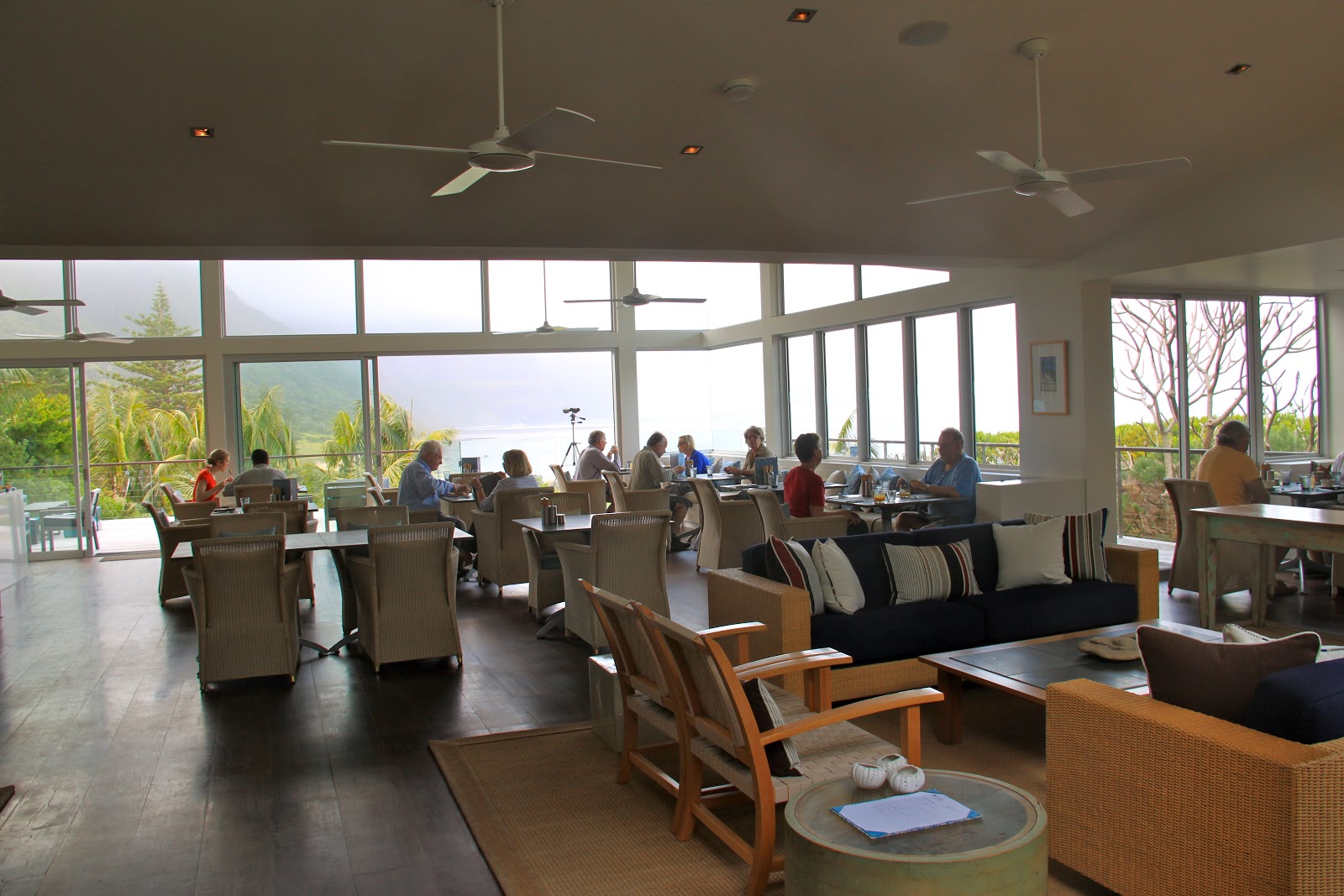
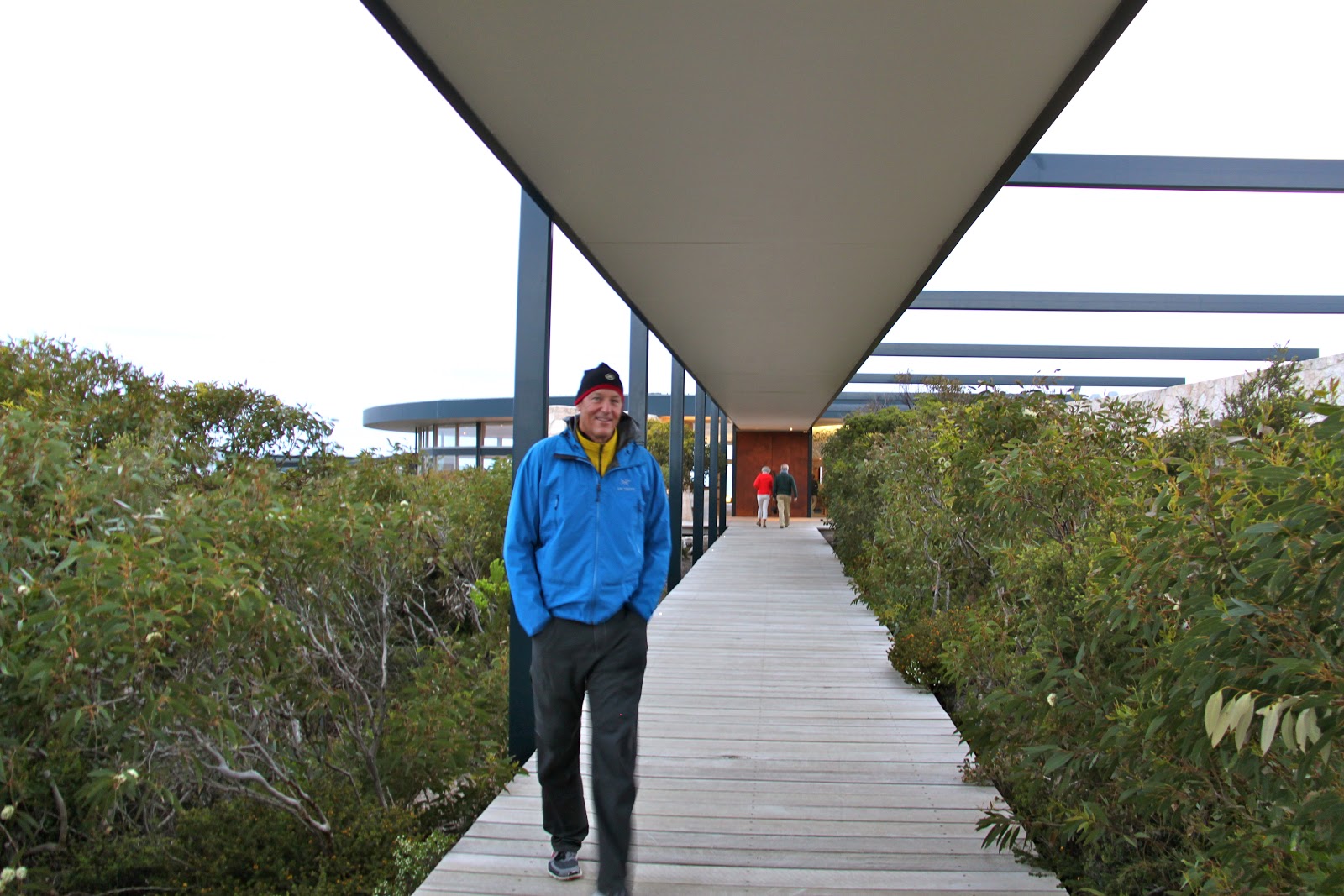
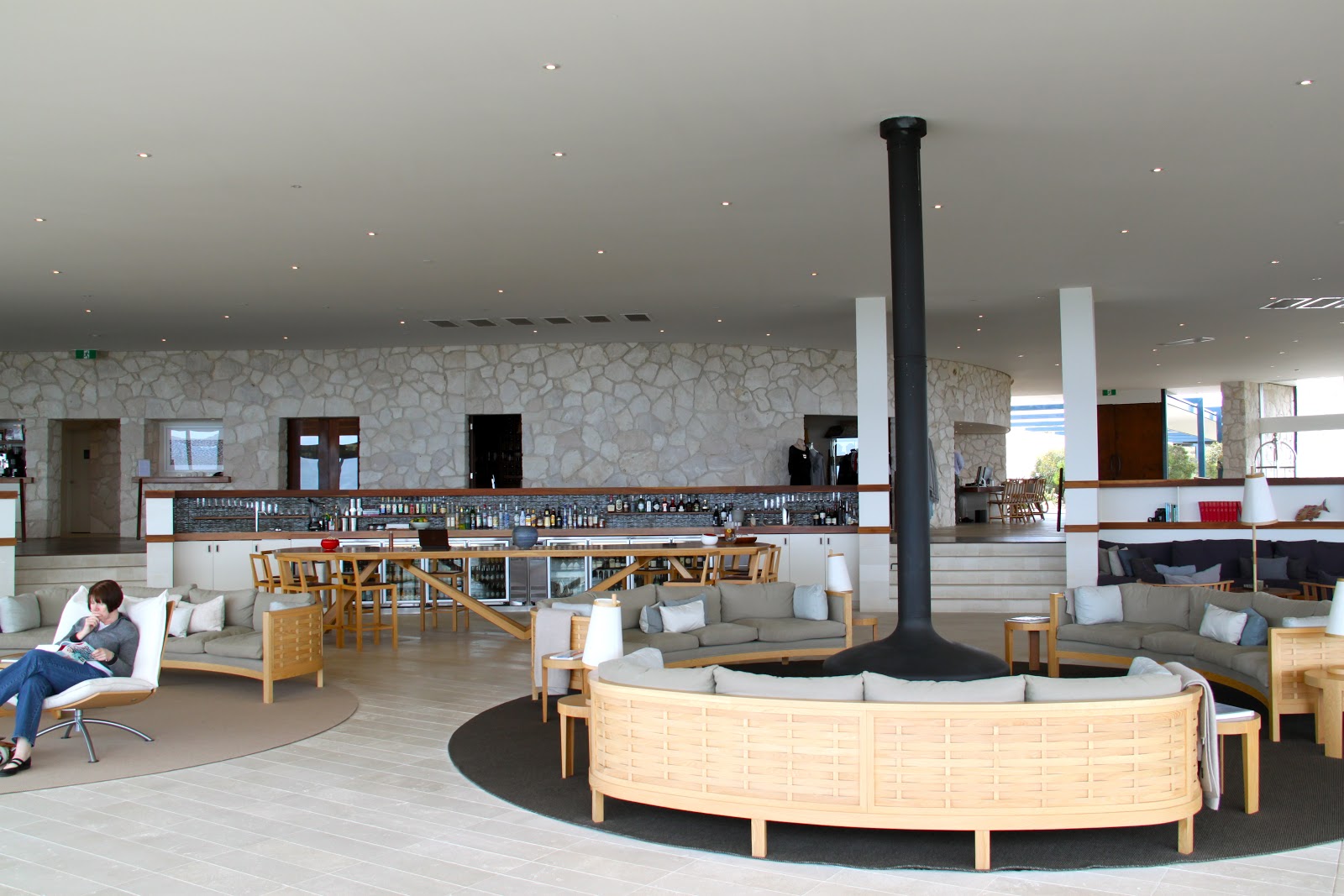
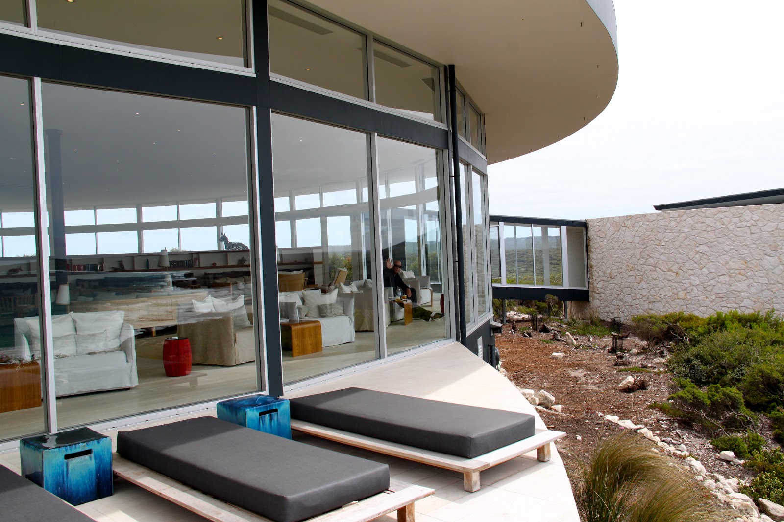
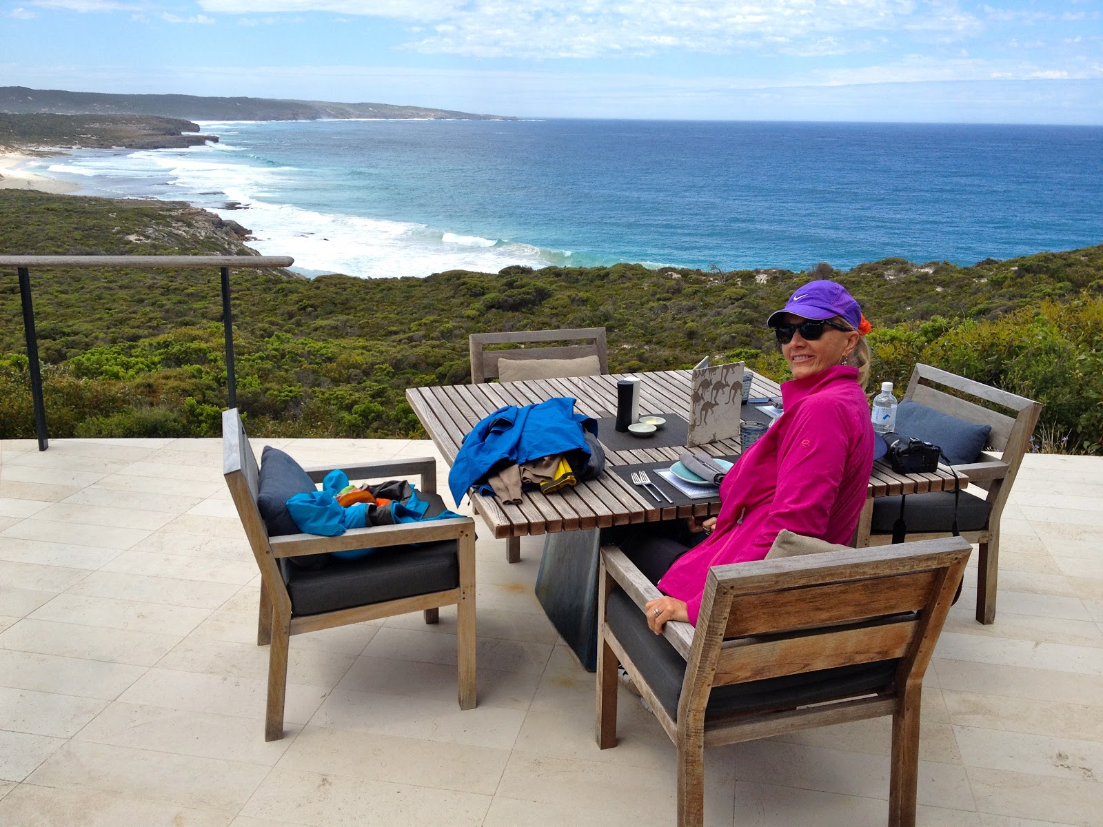
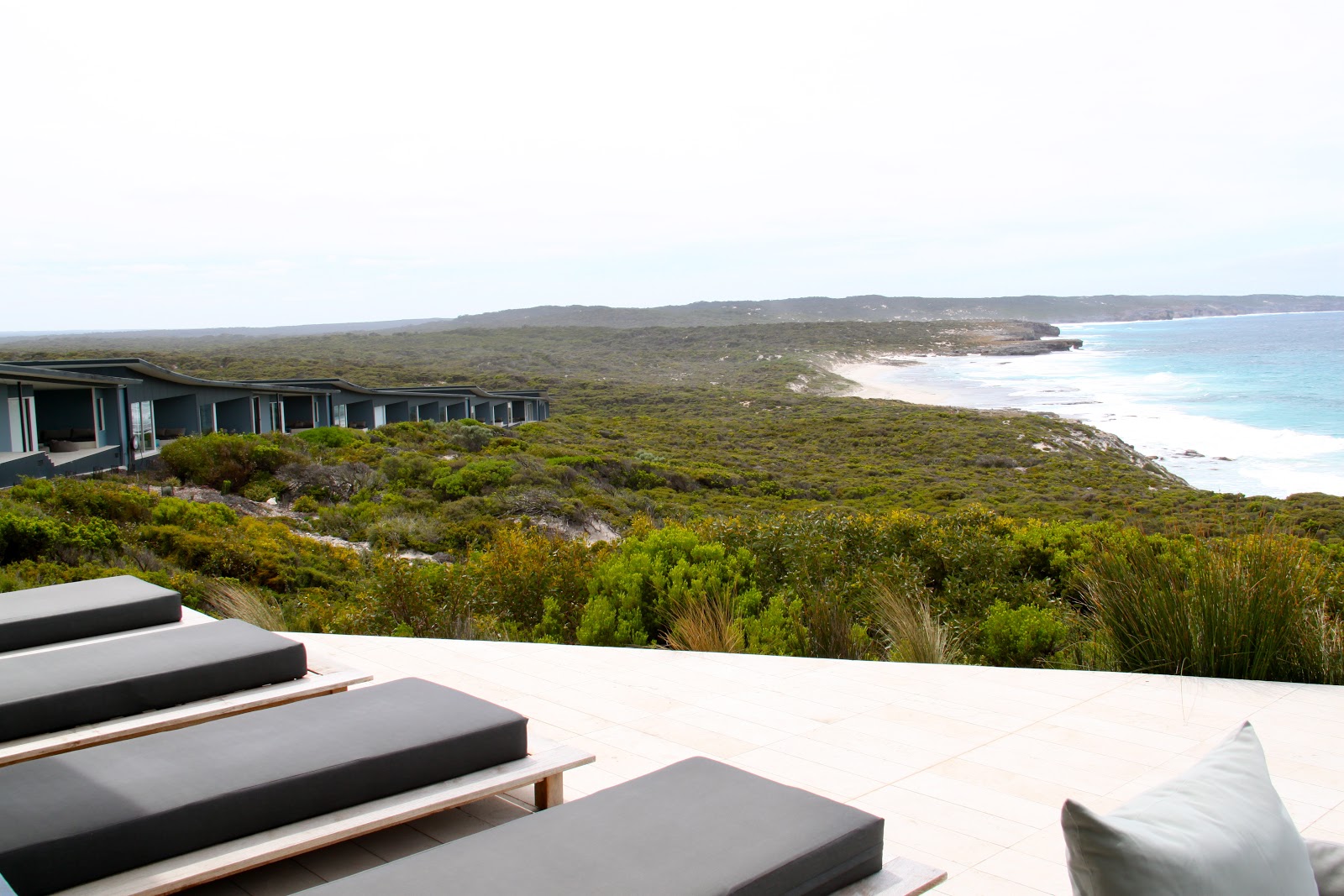
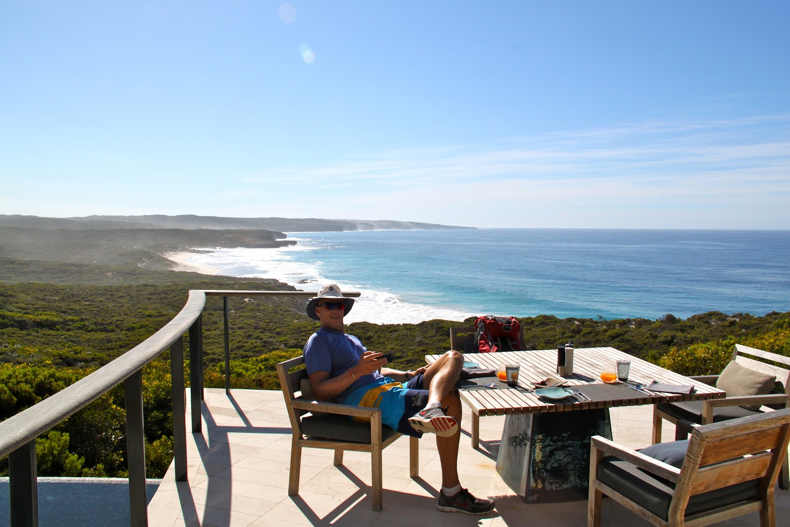
We check out the lodges in case some one in the family or our friends want to visit Lord Howe. Only Capella Lodge has a view of the ocean. All other lodges are hidden in the trees. I suppose this kind of zoning makes the island more attractive for all. Our favorite is Capella but it is not practical for families. All other apartments seem to have been built in the 1960s. The Ocean View Apartments are nice for families but there is no ocean view. But all lodges are a 3 minute bike ride to a beach.
Here are some photos of Capella Lodge where we stayed.
 |
| Entrance to Capella Lodge. It is the only hotel that has any kind of view of the beaches. |
 |
| There are a total of 8 rooms at Capella |
 |
| Our bedroom |
 |
| Bedroom sitting area |
 |
| Dining area |
 |
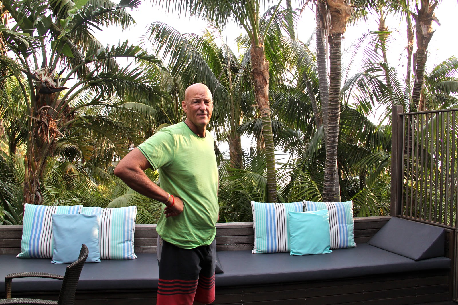
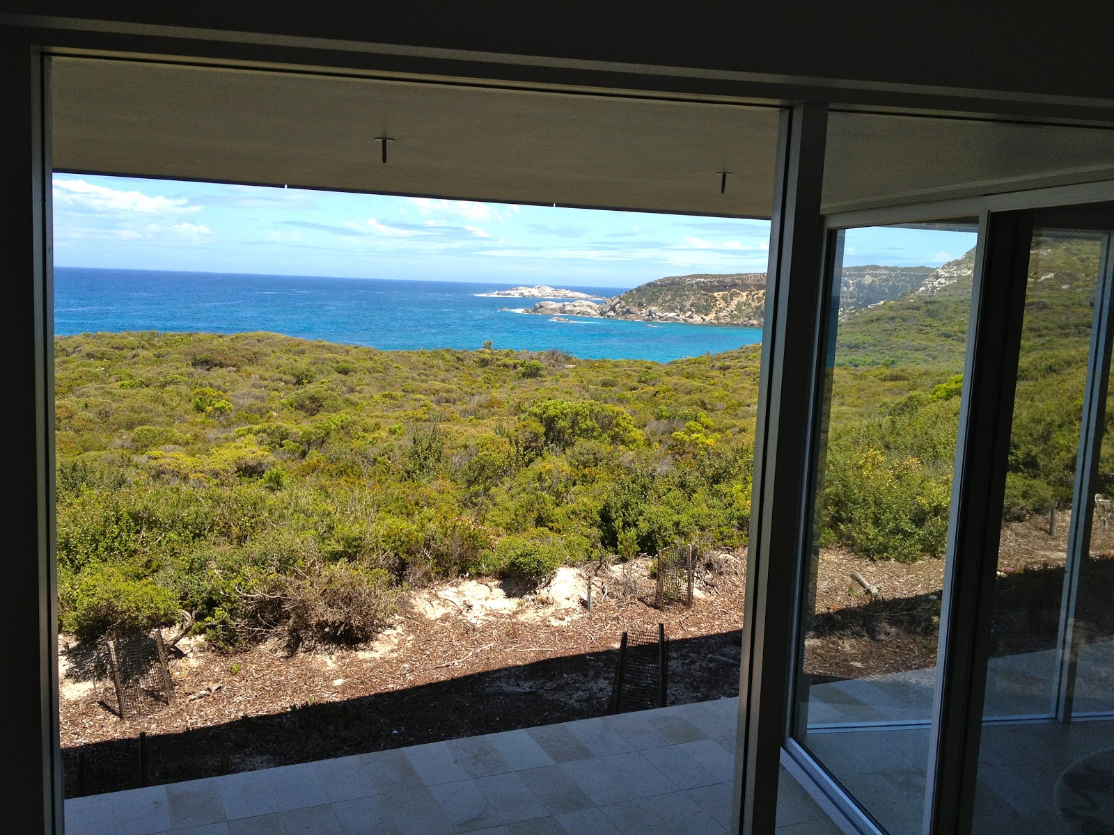
| Our patio |
 |
| View from the dining area |
One of the locals is hosting a slide show on birds and airplanes for a $5 admission charge. We stop in and learn about the unique bird life on the island and we also learn about the history of aviation. There have been lots of airplane crashes on and near Lord Howe. All scheduled aircraft were amphibious (“flying boats”) until they built the runway on Lord Howe in the 1970s. Many of those flying boats came to a bad end when they would stay overnight in the bay when a storm would come up and smash the airplanes into the shore.
After a day of goofing around in a waterproof golf cart in the rain we are beginning to wonder if we will ever get off this island.
 |
| Goofing around |
 |
| The storm looks like it is calming down |
 |
| View from one of the holes on the golf course |
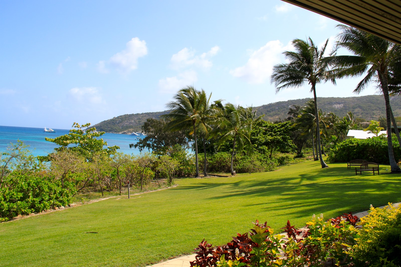
During the night the winds were howling. Our deck furniture was being blown back and forth. We learned the next morning that wind gusts were recorded at 107 kilometers per hour. This is around 70 MPH. At breakfast we expected to learn that Quantas Airlines was refusing to attempt a landing on Lord Howe but no one had notice of the cancelled flight yet. As the day progressed the winds abated but it was still gusting. At noon we went to the airport to check in for our 1 pm flight. The attendant checked us in and we waited with about 30 other people hoping we would hear or see the propeller plane that was coming from Sydney to pick us up. At 1pm it landed and refueled and by 2 pm we were happy to get away from Lord Howe Island. Our next stop is Lizard Island and it is in the middle of the Great Barrier Reef at the north end and there is clear warm weather and warm water and we are excited to get there.
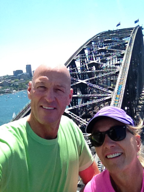
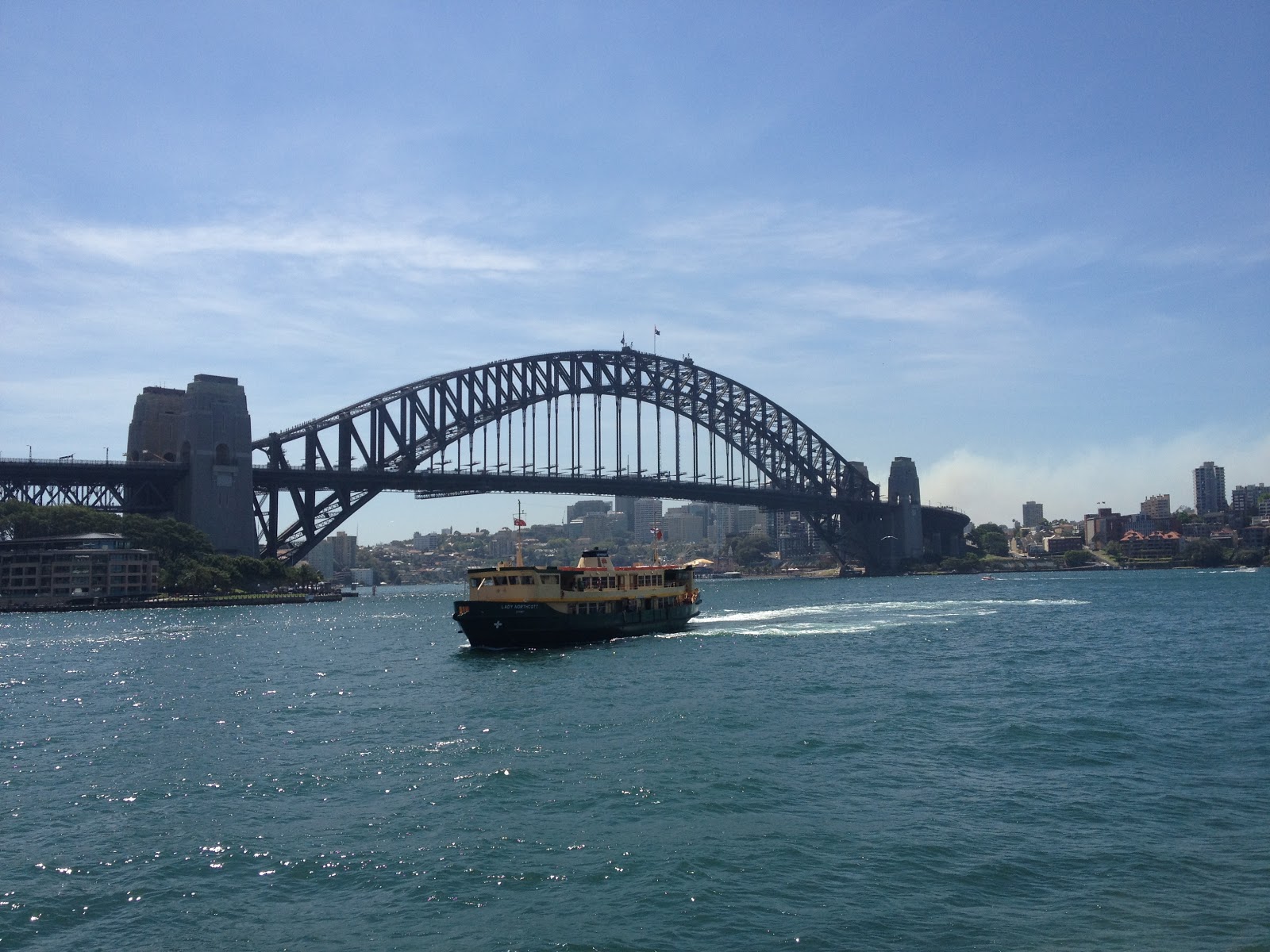
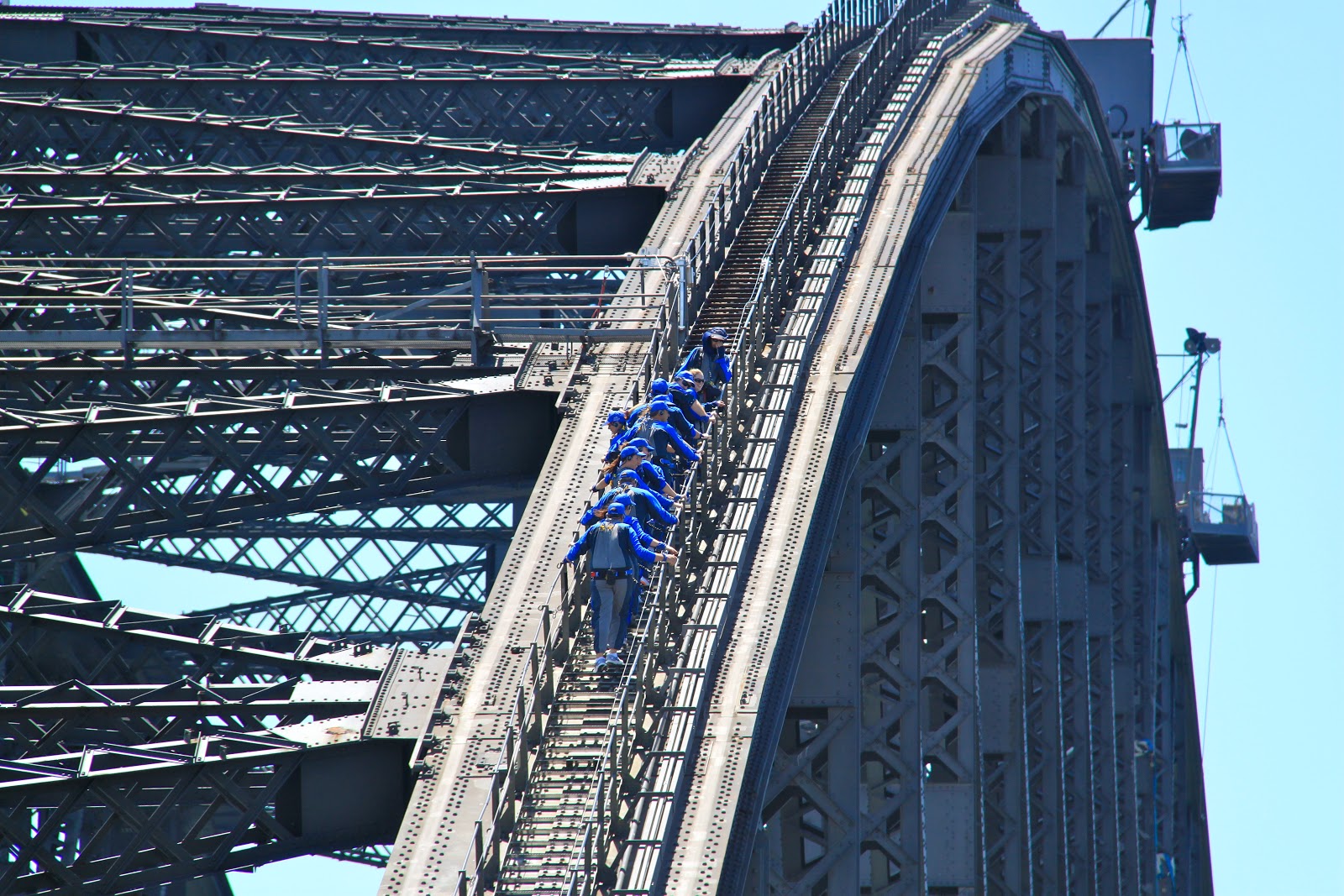
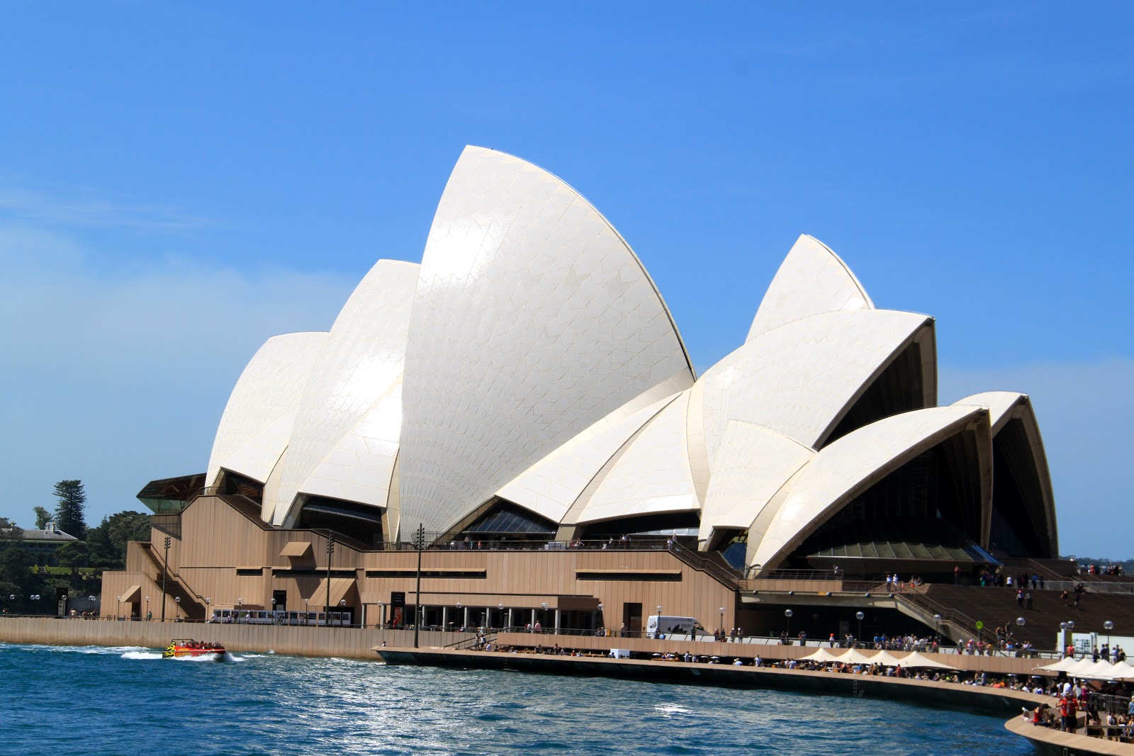
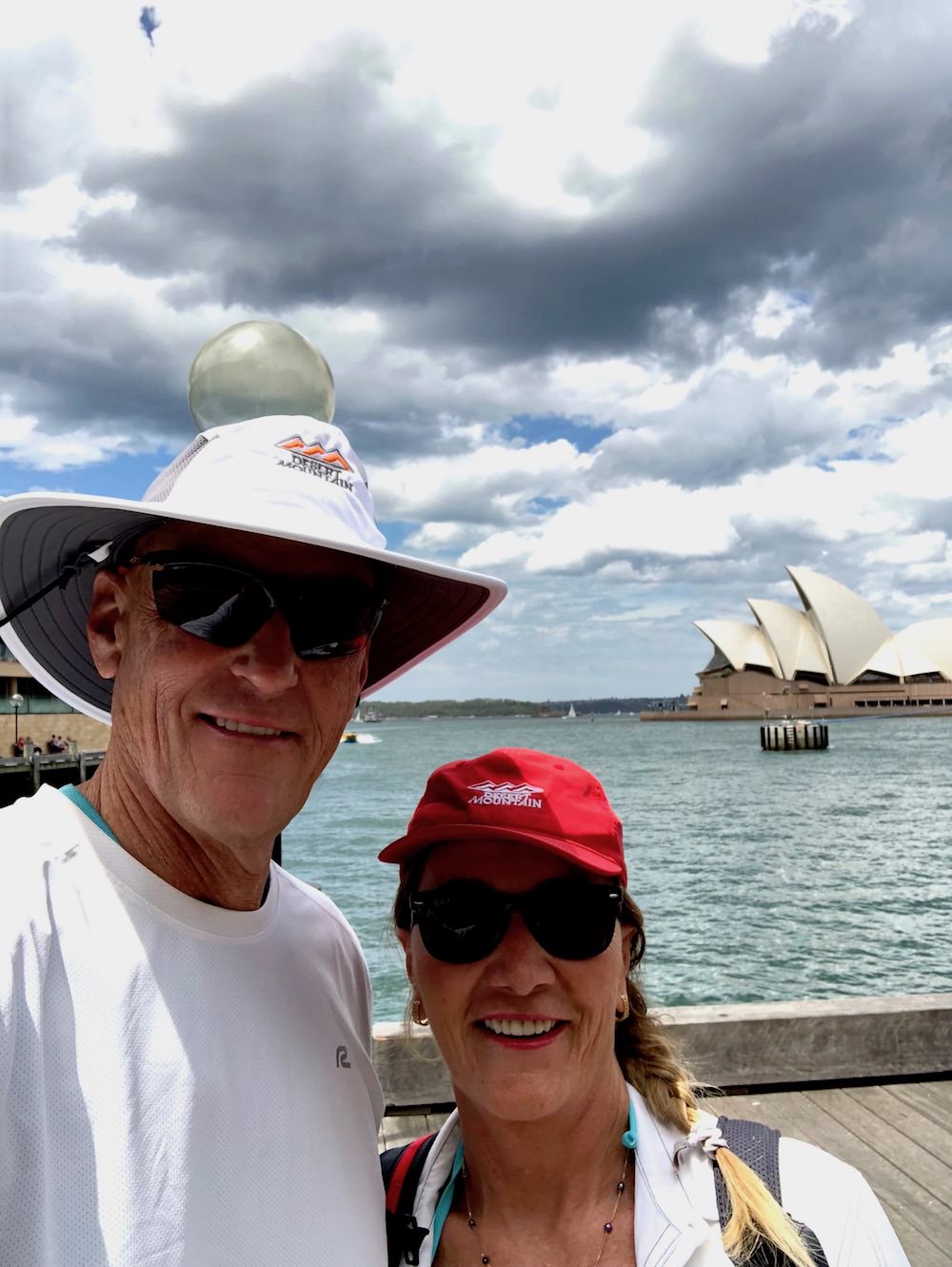
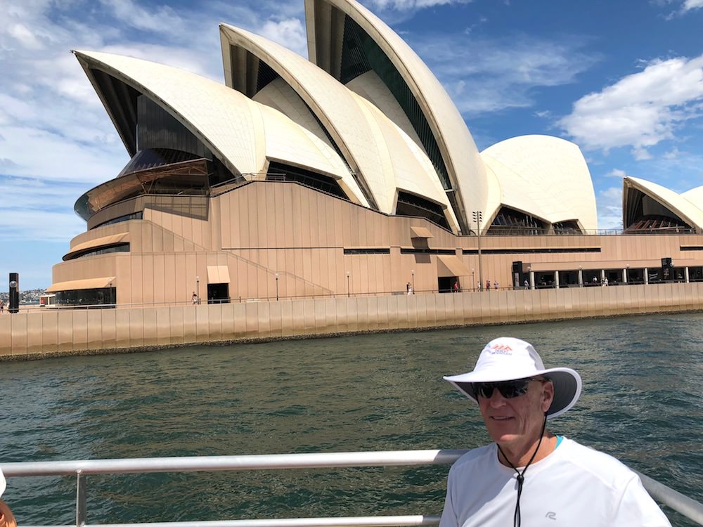
As a result of being stranded on Lord Howe Island we missed a night in Sydney and missed the Opera Solome by Richard Strauss at the Sydney Opera House.
We also missed one night at the Lizard Island Resort.
Oh well, plans are made to be modified.
Off to Lizard Island……


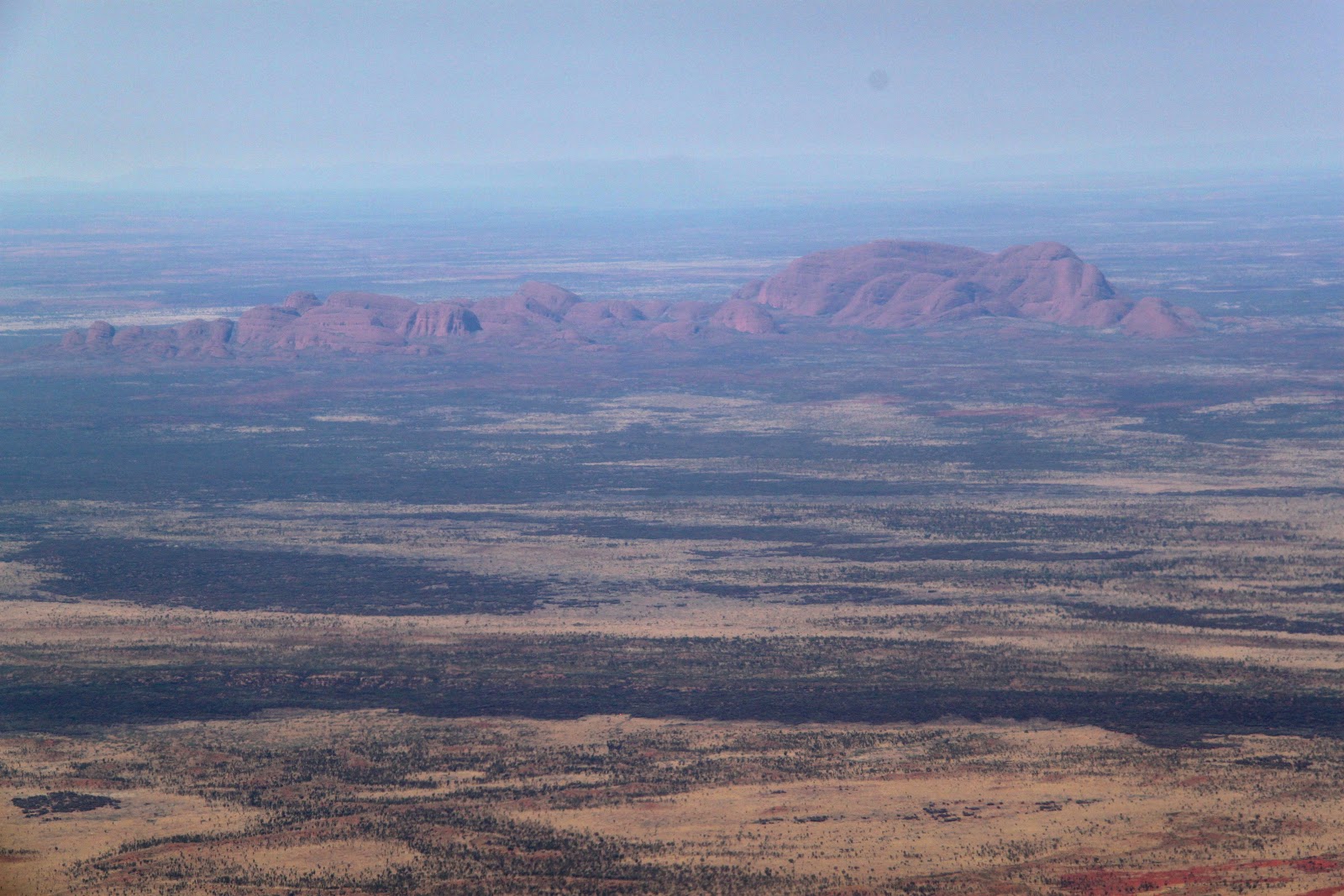
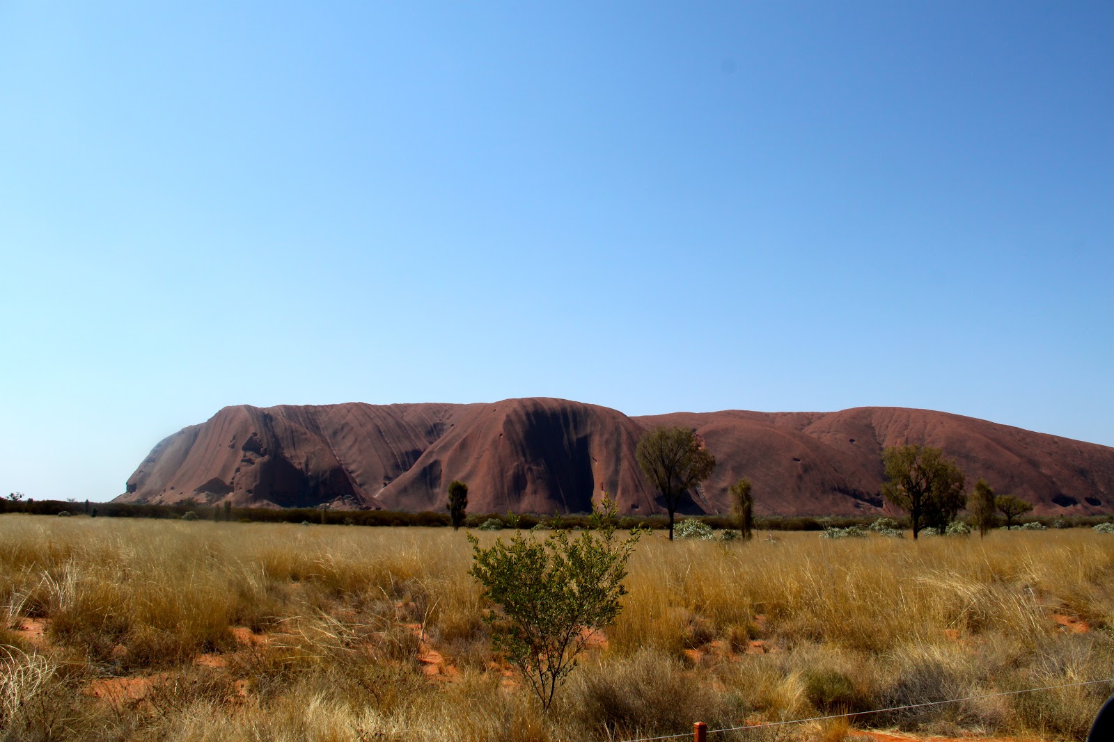
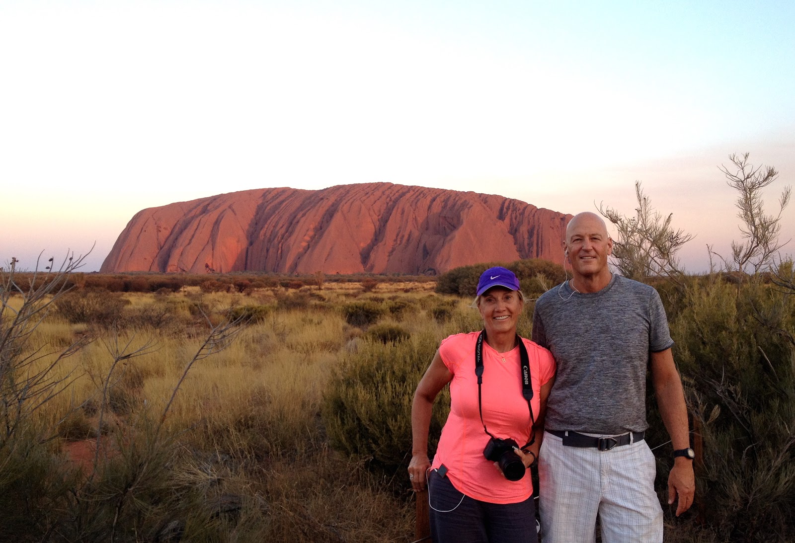
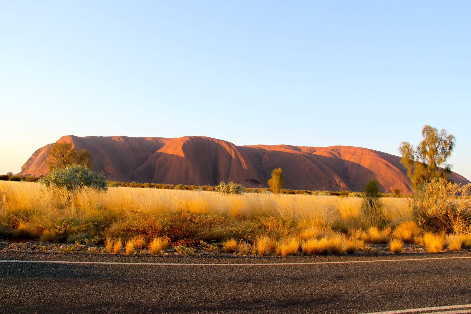
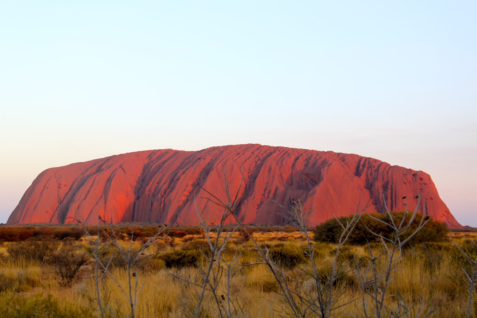
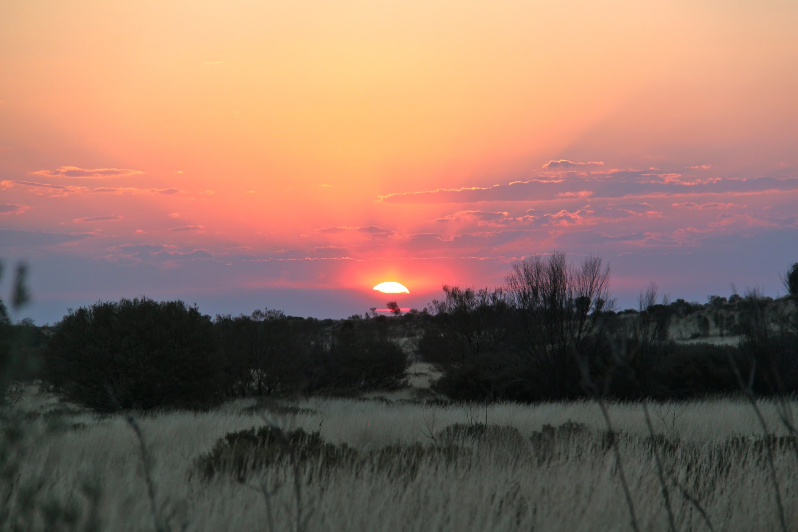
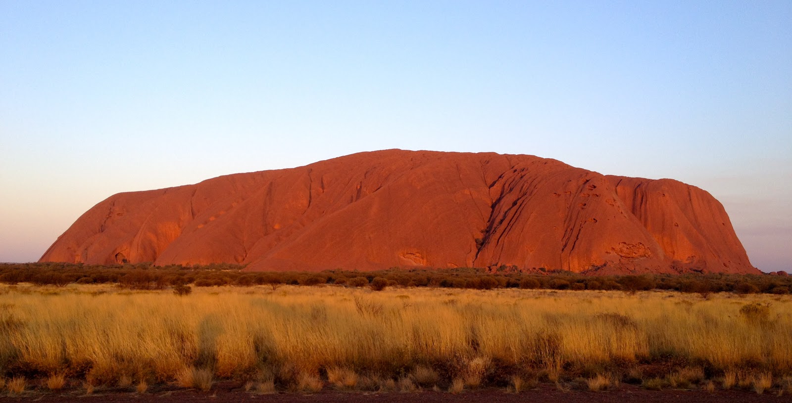
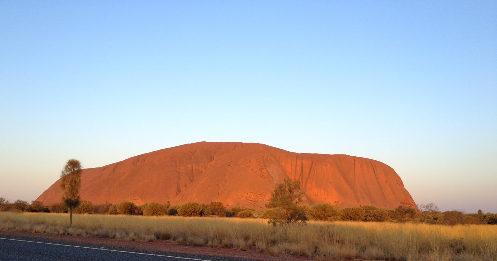
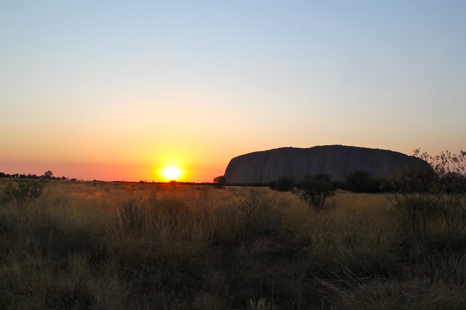
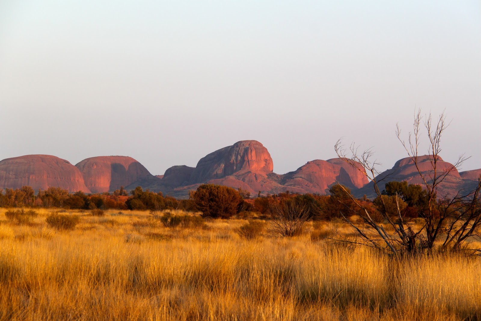
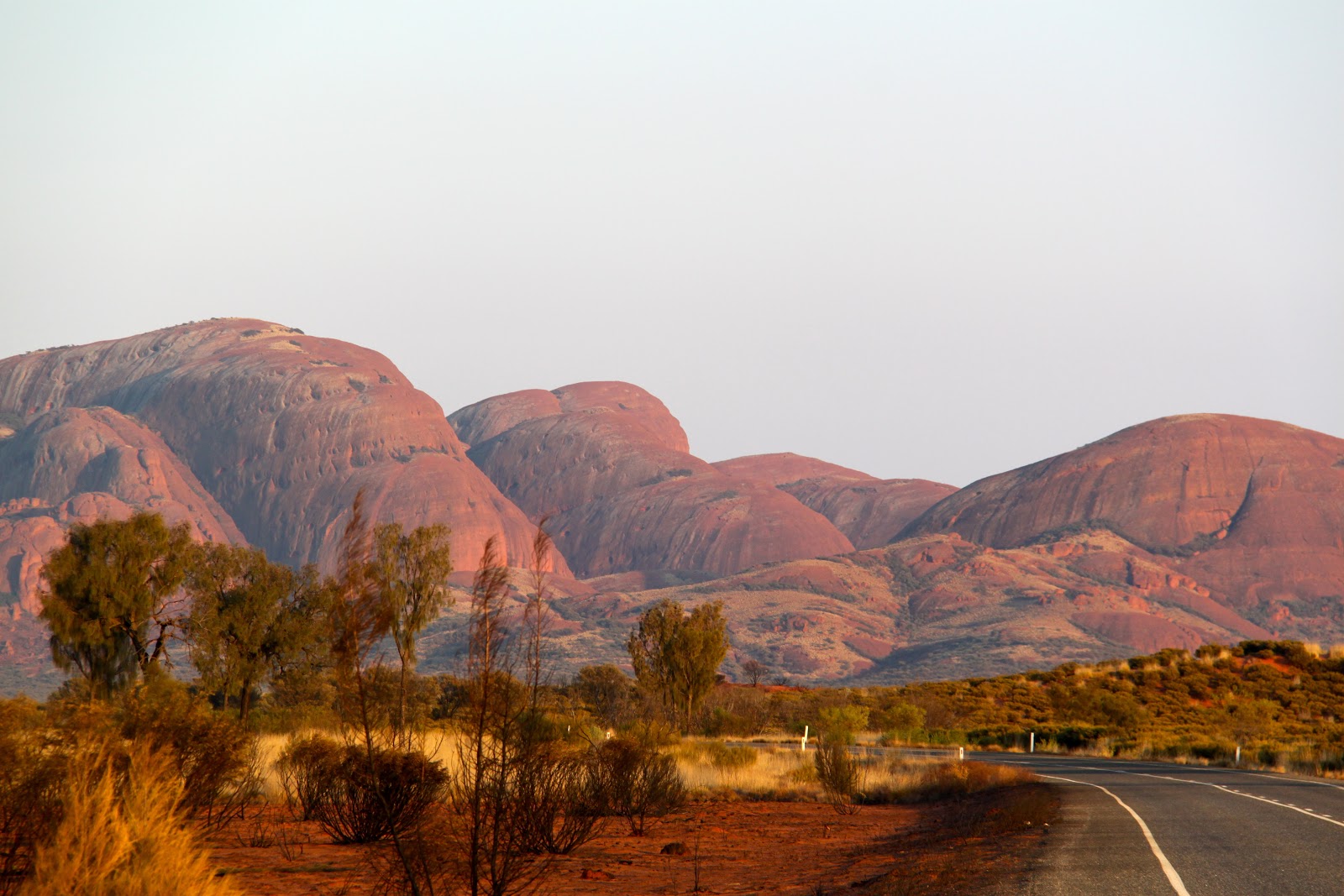
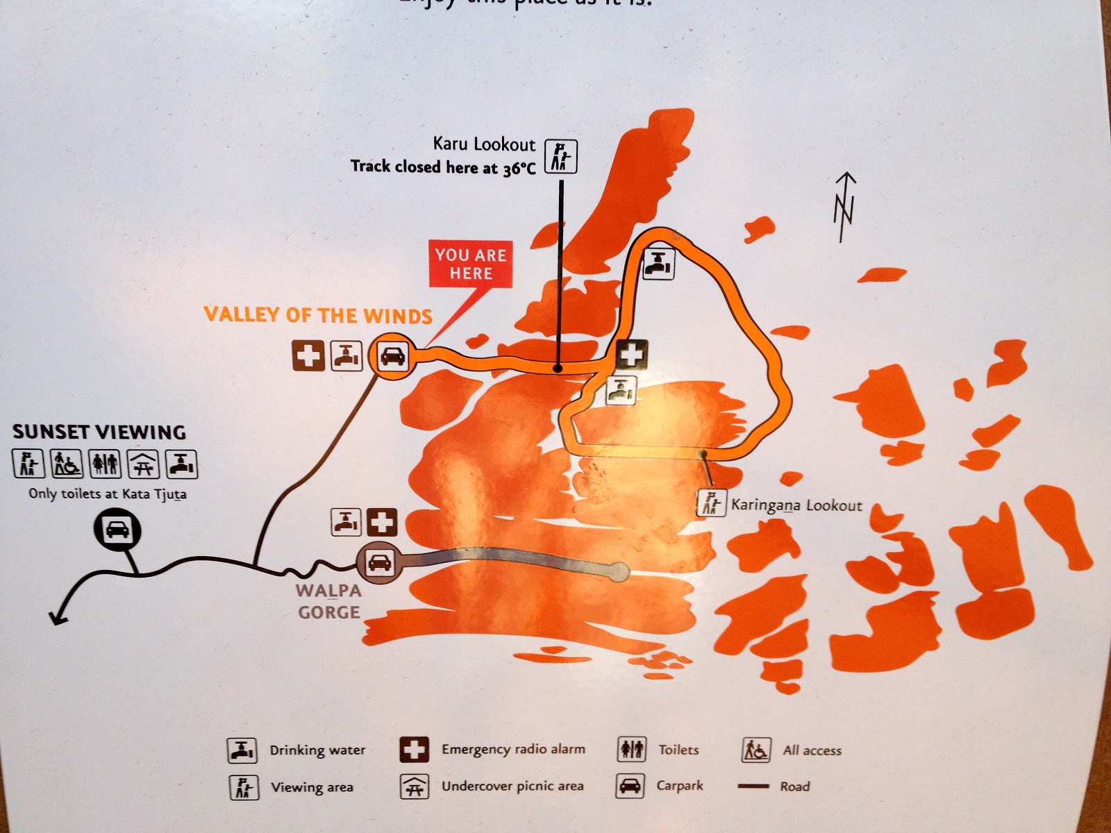
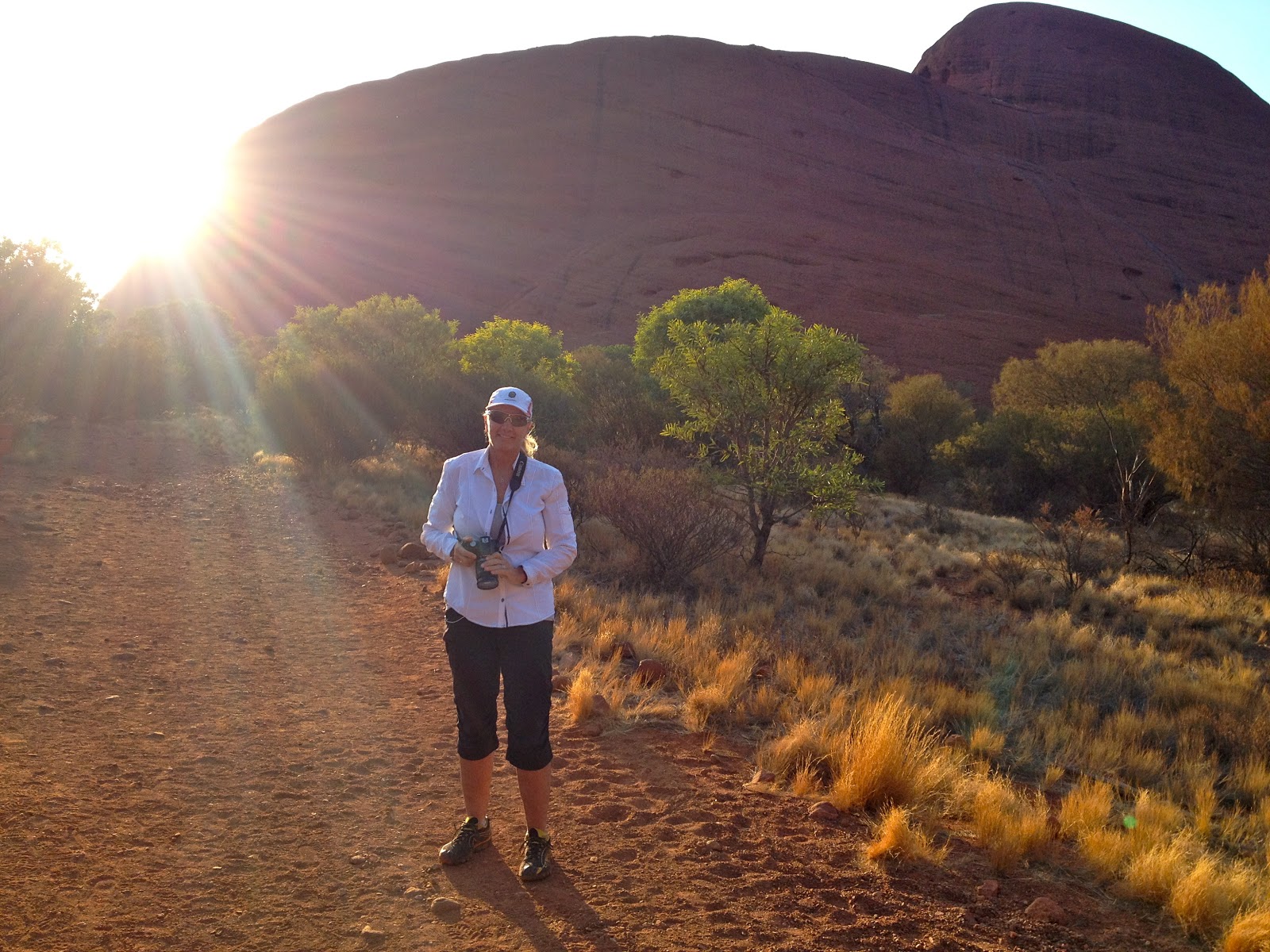
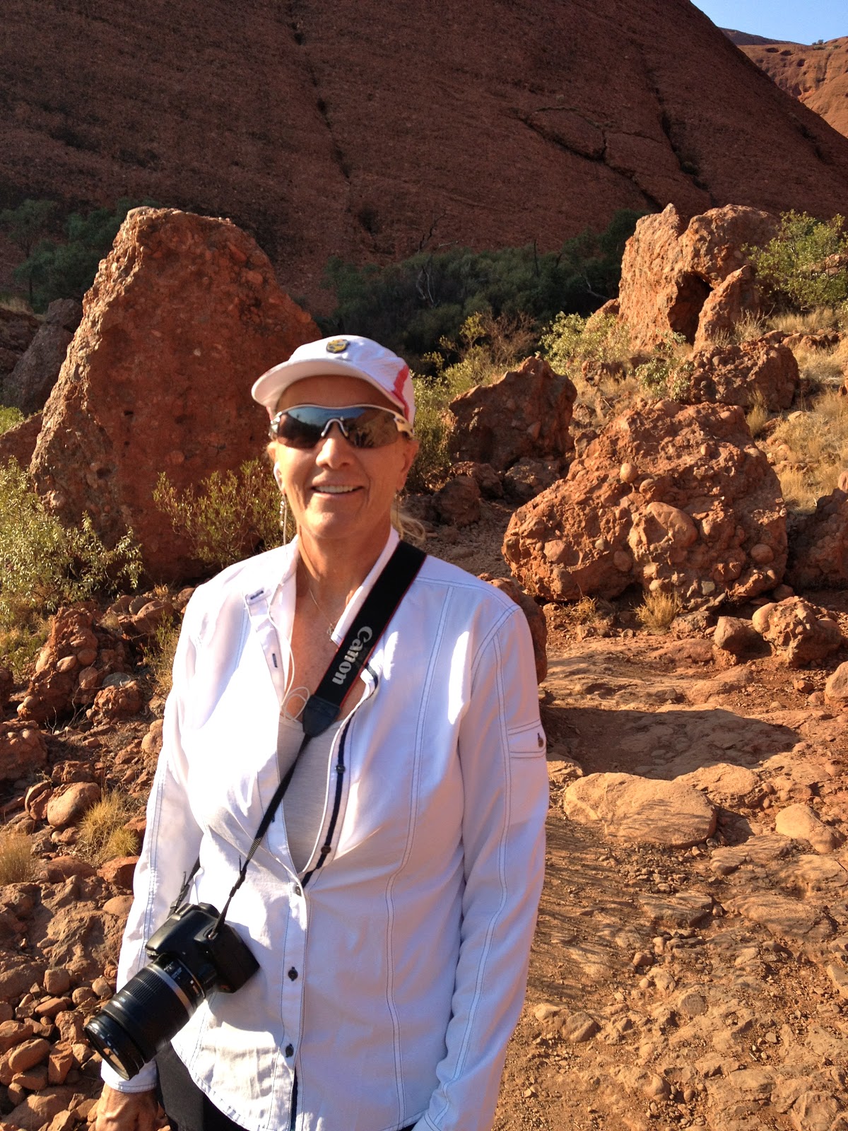
 and Kata Tjuta (Olgas) Oct. 30-31, 2012")


 Oct. 25-29, 2012")